2025 Expedition

Maritime Archaeology of Guadalcanal: Iron Bottom Sound

July 2 – 23, 2025
NA173
Maritime Archaeology of Guadalcanal: Iron Bottom Sound
Expedition Leader
Lead Scientist

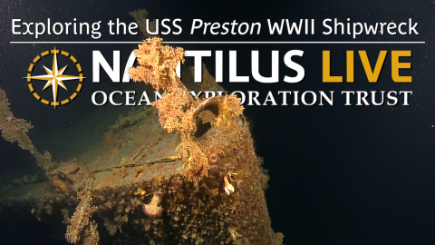
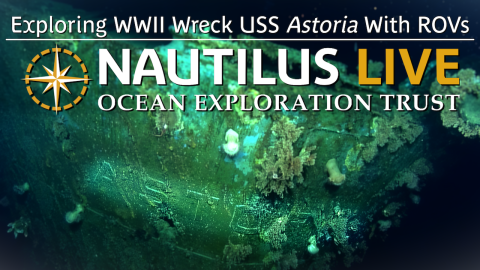
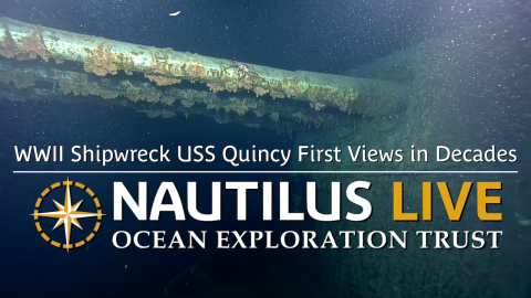
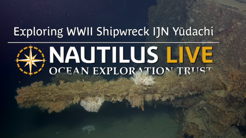
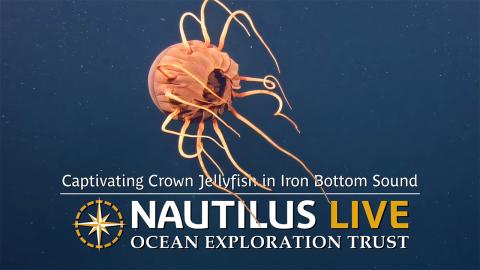
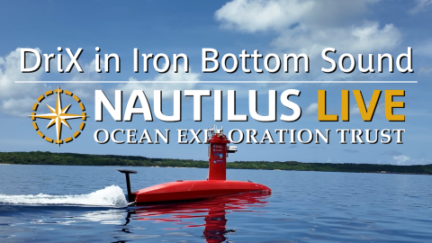
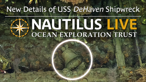
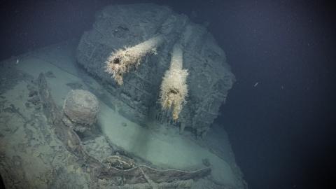
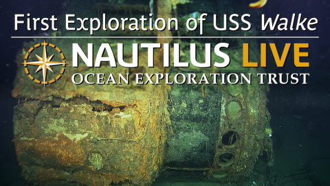
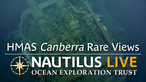
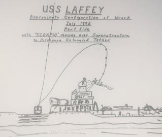
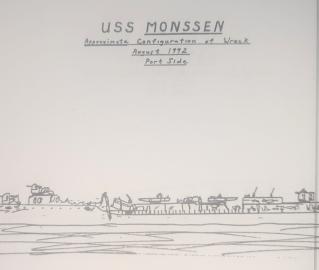
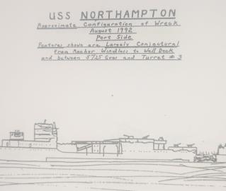
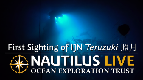
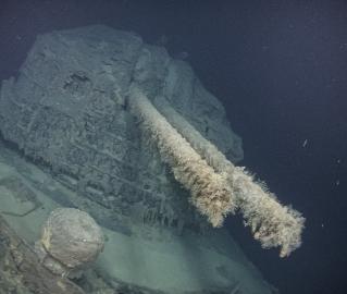
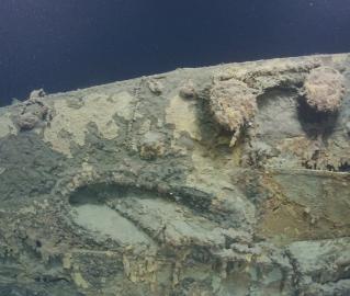
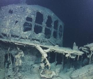
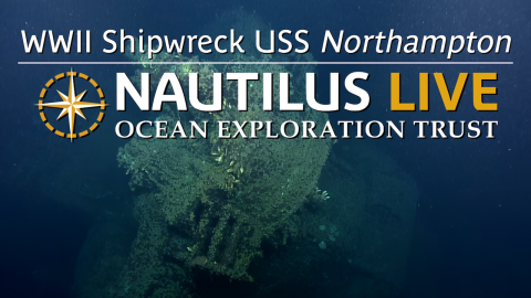
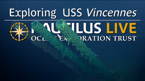
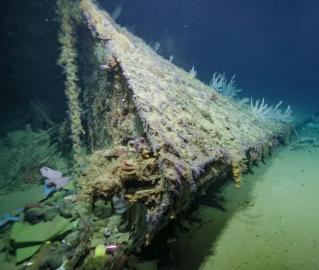
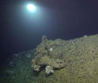
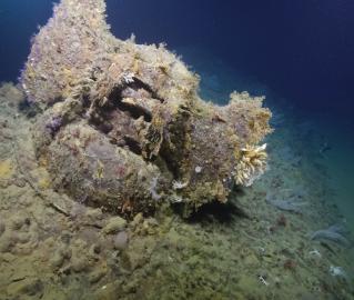
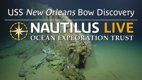
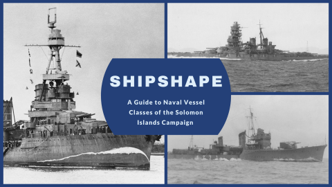
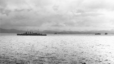
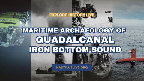
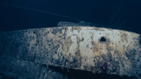
Located in the Solomon Islands between the islands of Guadalcanal, Savo, and Nggela, Iron Bottom Sound was the stage of five major naval battles between August and December 1942 which resulted in the loss of over 20,000 lives, 111 naval vessels, and 1,450 planes. These underwater cultural heritage sites now rest on the seafloor offshore Honiara in a confined area less than 25 nautical miles wide, 40 nautical miles long, and 1,400 meters deep. To date, fewer than 100 of these US, Japanese, Australian, and New Zealand military ships and planes have been located. This 21-day expedition will utilize the remotely operated vehicle and telepresence systems of E/V Nautilus, in combination with the mapping capabilities of uncrewed surface vehicle DriX, to conduct non-invasive archaeological surveys of cultural heritage sites in the Iron Bottom Sound. 

This expedition is funded by NOAA Ocean Exploration via the Ocean Exploration Cooperative Institute.

Expedition Partners

Meet the Team

Expedition Posts

HMS Canberra
Credit
US National Archives

Eighty years after World War II, the NA173 expedition brings together archaeological experts from all combatant nations — the United States, Japan, Australia, and New Zealand— as well as interdisciplinary experts worldwide through the Scientist Ashore program. In locating and exploring these historically significant sites, this expedition aims to honor those lost and keep alive the memory of sacrifices made during the Battles of Guadalcanal, as well as highlight the significance of this unique place globally. 
 

Nautilus and DriX
Credit
Ocean Exploration Trust

During our exploration of the Iron Bottom Sound, the team is using the University of New Hampshire's uncrewed surface vessel, USV DriX, to create a high-resolution map of the entire basin (~3,500 km²) and identify potential exploration sites. DriX is a 7.7-meter-long vessel outfitted with an EM712 multibeam sonar capable of mapping the seafloor and topside sensors to support piloting from both a shoreside control center and team members on E/V Nautilus.