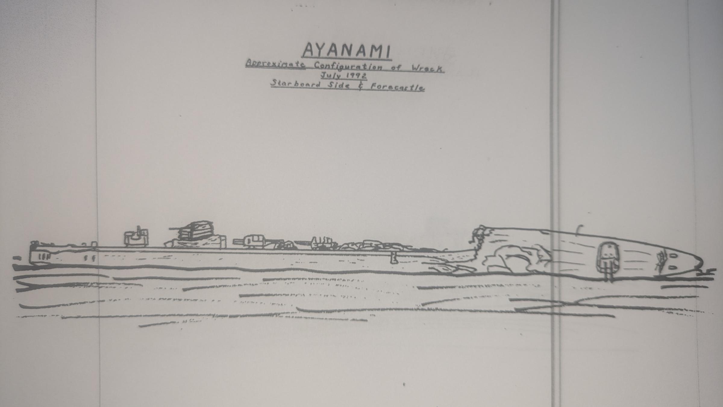
Hand Drawings of the Shipwrecks in Iron Bottom Sound
On an expedition where advanced technology is helping to reveal the details of maritime heritage sites, a key tool has remained a series of notably analog references.
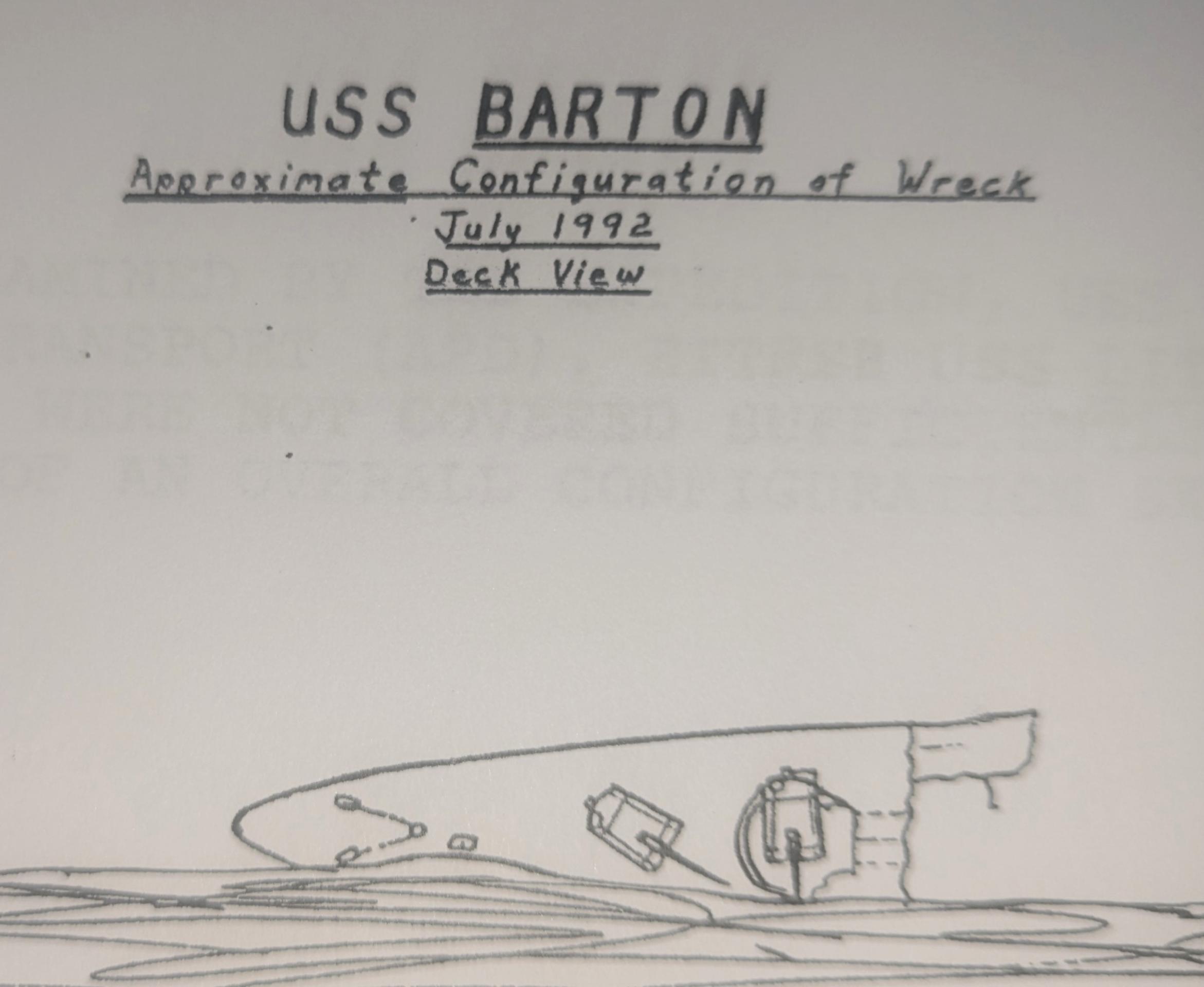
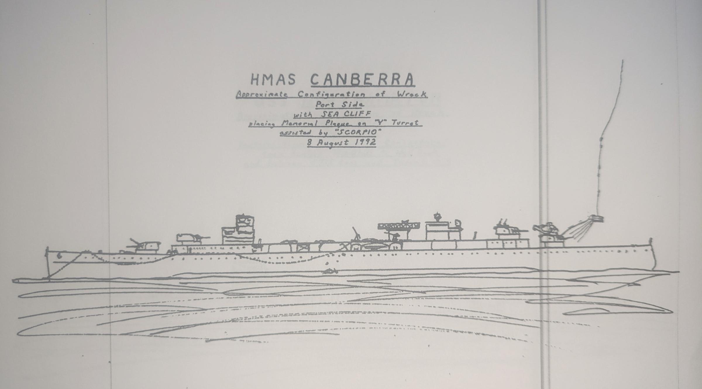
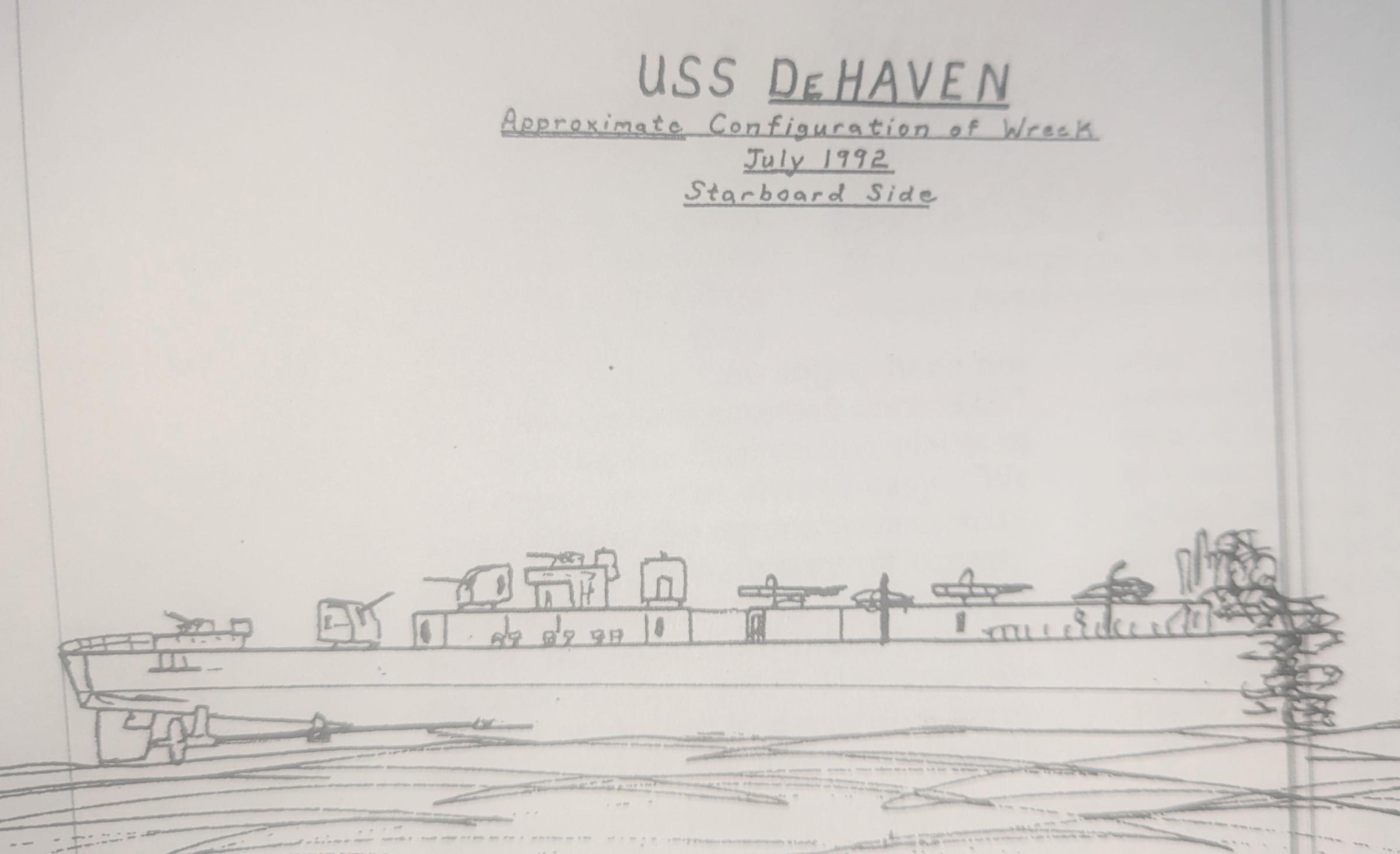
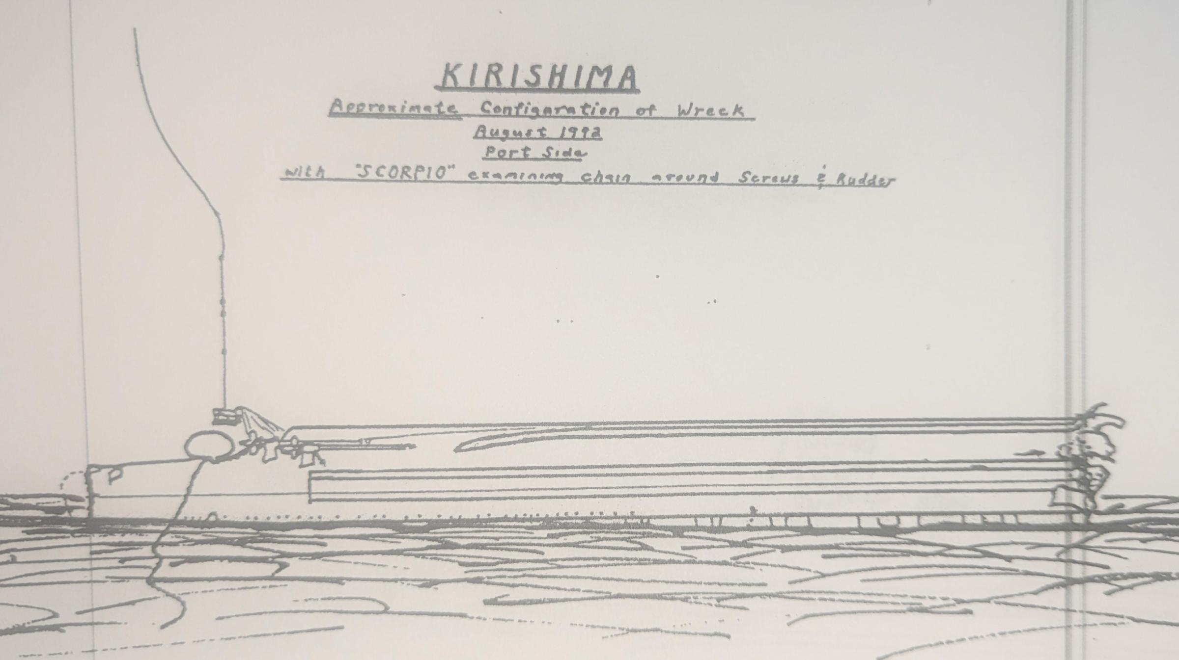
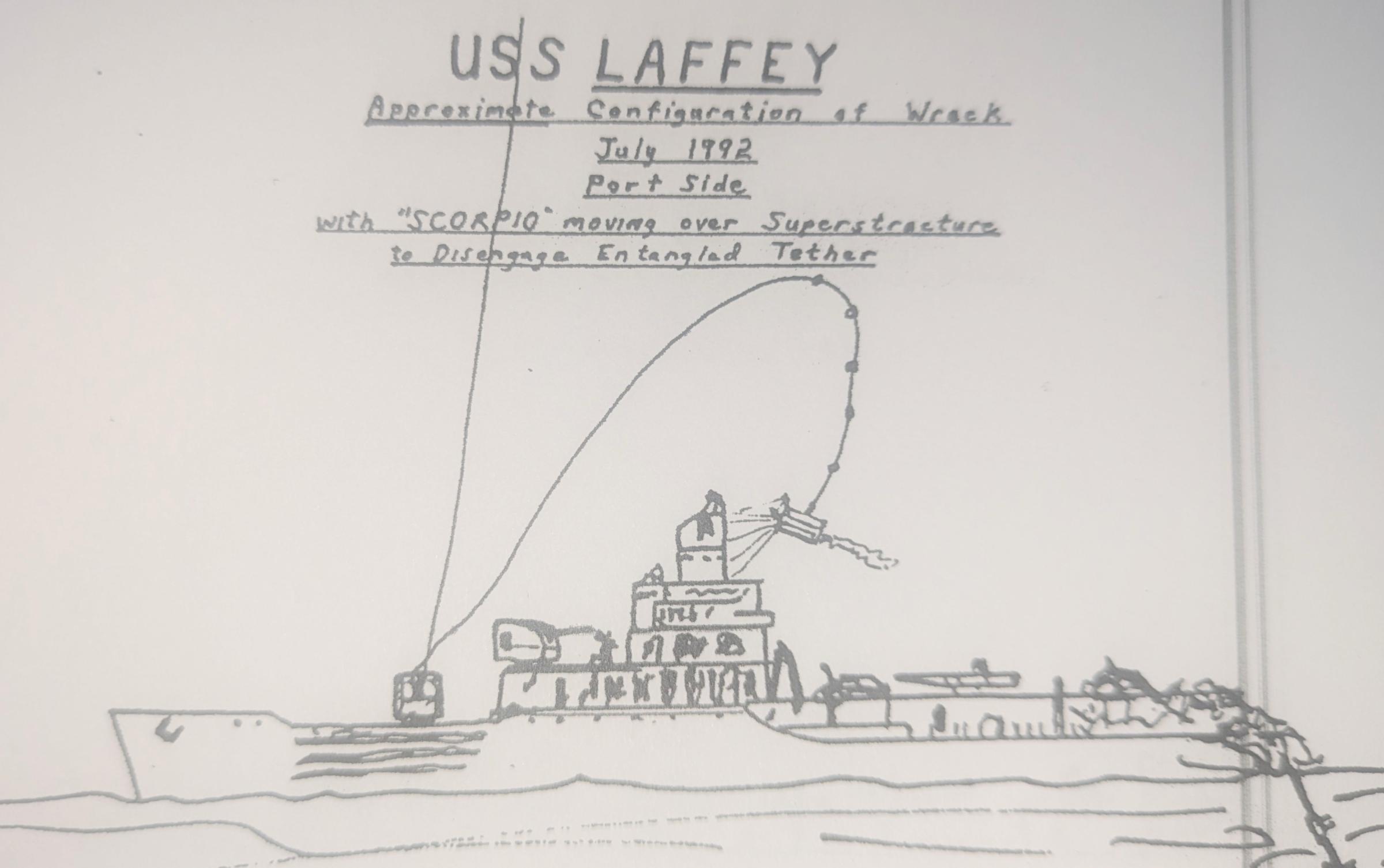
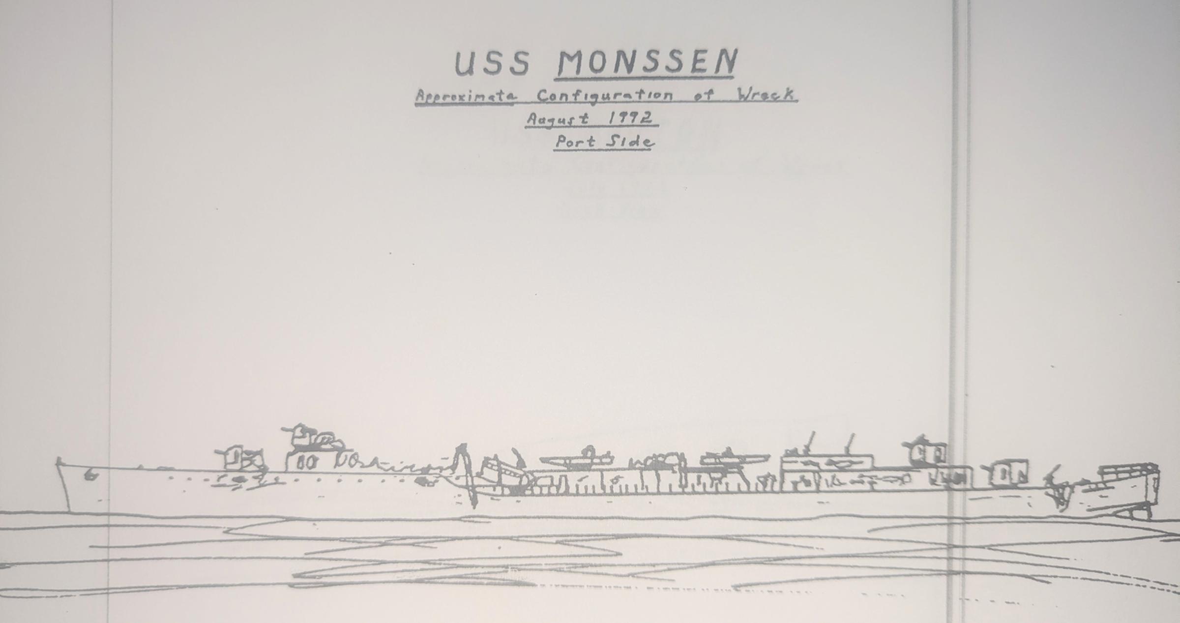
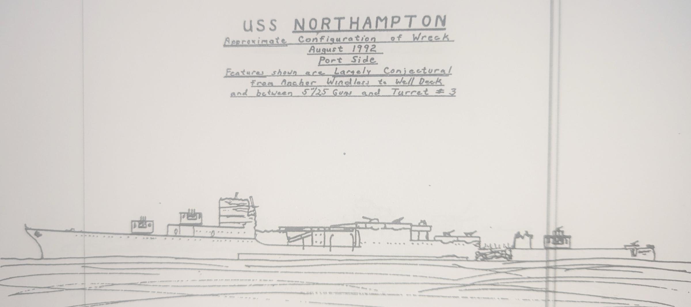
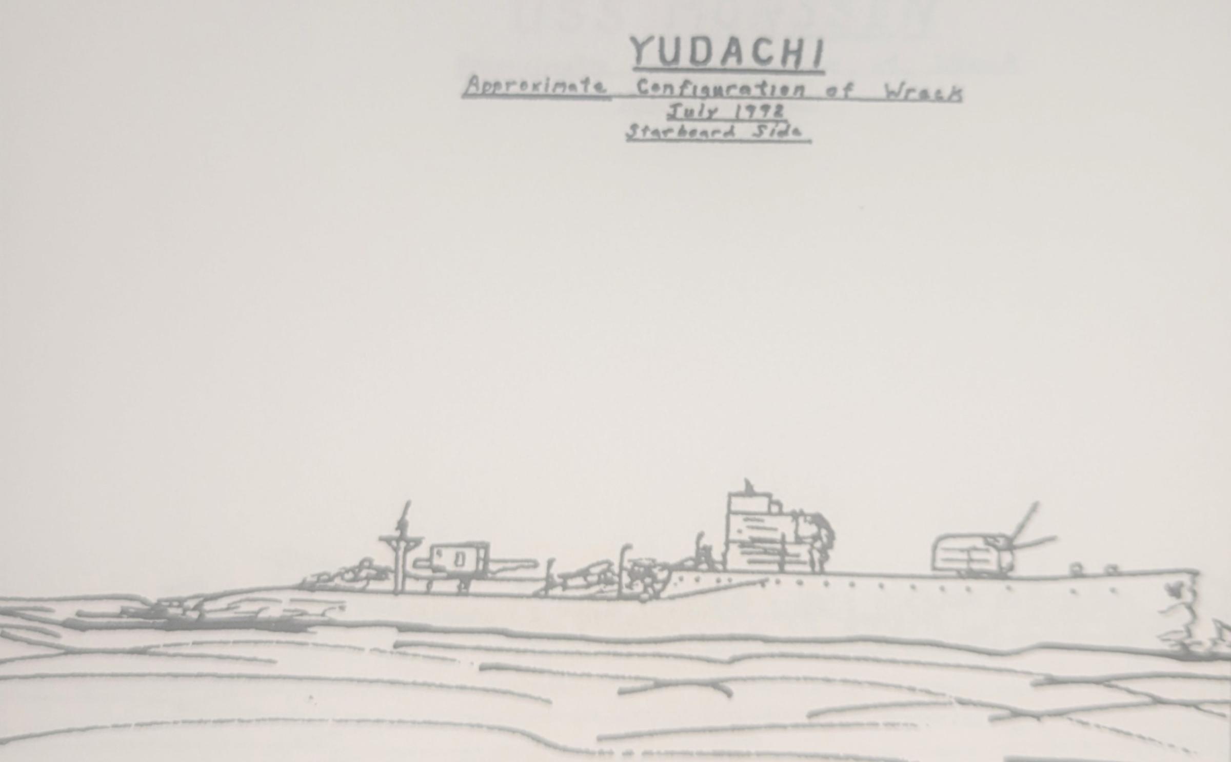
On the 1992 expedition to Iron Bottom Sound where a team led by Dr. Robert Ballard, Chuck Haberlein the Curator of the Branch Photographic Section represented the US Naval History and Heritage Command. Together the team mapped and filmed twelve shipwrecks during that mission. Capturing the moment, Haberlein created a series of line drawings to illustrate the final resting positions of the vessels.
Thirty years later, our expedition team draws upon the insights of these first-hand accounts. As ROV Hercules images along the hull, the data loggers are using this series of drawings to help orient on the ships, identify diagnostic features, and annotate progress to ensure full mapping coverage. These records also help the team understand how these vessels are changing over the decades on the seabed. Explore more of Chuck's drawings here.
During the Maritime Archaeology of Guadalcanal expedition (NA173), the international team utilized the remotely operated vehicle and telepresence systems of E/V Nautilus, in combination with the mapping capabilities of uncrewed surface vehicle DriX, to conduct non-invasive archaeological surveys of cultural heritage sites in the Iron Bottom Sound. This expedition is supported by NOAA Ocean Exploration via the Ocean Exploration Cooperative Institute. This exploration is made possible by the expertise, support, and collaboration of many partners, including NOAA Ocean Exploration, U.S. Naval History and Heritage Command, Solomon Islands government, University of New Hampshire Center for Coastal and Ocean Mapping/Joint Hydrographic Center, University of Rhode Island, and Japanese, Australian, and New Zealand archaeological colleagues.
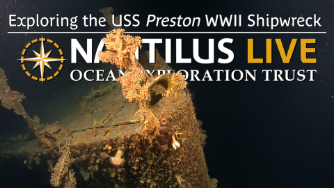
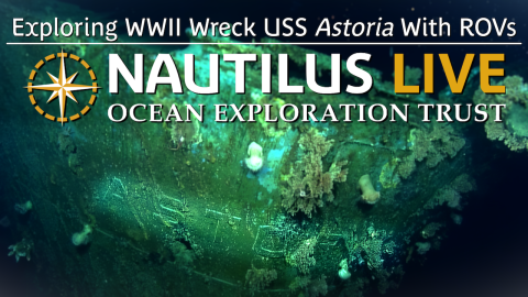
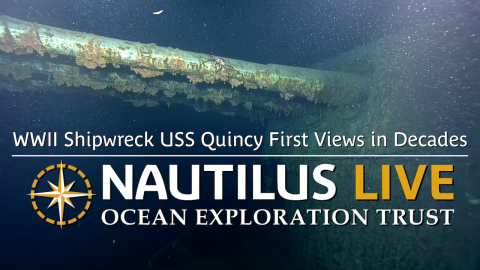
Maritime Archaeology of Guadalcanal: Iron Bottom Sound
Located in the Solomon Islands between the islands of Guadalcanal, Savo, and Nggela, Iron Bottom Sound was the stage of five major naval battles between August and December 1942 which resulted in the loss of over 20,000 lives, 111 naval vessels, and 1,450 planes. These underwater cultural heritage sites now rest on the seafloor offshore Honiara in a confined area less than 25 nautical miles wide, 40 nautical miles long, and 1,400 meters deep.