Discovering Shipwrecks with USV DriX
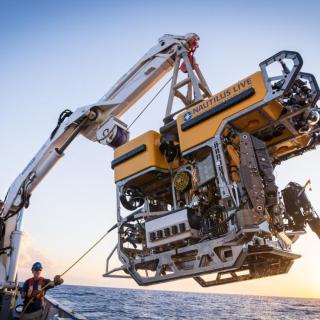
When it comes to ocean exploration, collaboration is key and during our Maritime Archaeology of Guadalcanal: Iron Bottom Sound (NA173) expedition, collaboration is what allowed us to make remarkable discoveries of World War II shipwrecks. Our international team utilized the remotely operated vehicle and telepresence systems of E/V Nautilus, in combination with the mapping capabilities of the University of New Hampshire’s uncrewed surface vehicle (USV) DriX, to conduct non-invasive archaeological surveys of cultural heritage sites in the Iron Bottom Sound.
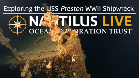
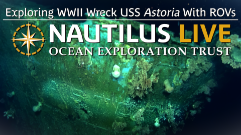
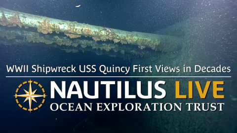
Operating from the ship and from a shore-based control center in Honiara, DriX gathered the data and generated the most detailed map of Iron Bottom Sound ever created. The team then used those maps to identify targets of interest which matched the historical description, location, and scale of the ship. Guided by this mapping data, the ROVs explored twelve shipwrecks. Learn more about the uncrewed capabilities of DriX that make it an invaluable tool for maritime archaeology and meet some of the team behind the expedition’s success in this highlight video.
This expedition is supported by NOAA Ocean Exploration via the Ocean Exploration Cooperative Institute. This exploration is made possible by the expertise, support, and collaboration of many partners, including NOAA Ocean Exploration, U.S. Naval History and Heritage Command, Solomon Islands government, University of New Hampshire Center for Coastal and Ocean Mapping/Joint Hydrographic Center, University of Rhode Island, and Japanese, Australian, and New Zealand archaeological colleagues.
Maritime Archaeology of Guadalcanal: Iron Bottom Sound
Located in the Solomon Islands between the islands of Guadalcanal, Savo, and Nggela, Iron Bottom Sound was the stage of five major naval battles between August and December 1942 which resulted in the loss of over 20,000 lives, 111 naval vessels, and 1,450 planes. These underwater cultural heritage sites now rest on the seafloor offshore Honiara in a confined area less than 25 nautical miles wide, 40 nautical miles long, and 1,400 meters deep.