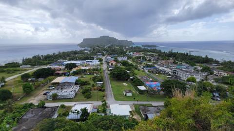
This expedition will focus on exploring the Mariana region- one of the ocean's most tectonically and volcanically dynamic locations, marked by the Earth’s deepest oceanic trench, some of the most active submarine volcanoes, and some of the oldest seafloor on the planet. This 23-day expedition will utilize the ROV, mapping, and telepresence systems of E/V Nautilus in combination with autonomous underwater vehicle Sentry to explore priority deep-sea areas identified by the management and science community, including abyssal plain habitats, seamounts, and other deep-sea areas offshore the Mariana Islands that support resource management priorities. This is the first of two consecutive E/V Nautilus expeditions that will explore poorly known deep-sea habitats around the Mariana Islands in 2026, and focus on the southeasternmost portion of the US EEZ around the Commonwealth of the Northern Mariana Islands.




Meet the Team








Gallery Highlights
Expedition Posts

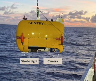
Check out these incredible shots from AUV Sentry Dive 803, captured using the 24MP OIS camera from Woods Hole Oceanographic Institution's MISO Facility. Sentry can snap high-resolution images at depth limits up to 6,000 meters—a crucial capability for mapping and characterizing the deep seafloor. Why the difference in the photos? Water naturally absorbs, scatters, and filters light, so the deeper you go, the more color is lost (top photo). By applying post-dive corrections (bottom photo) to tone, color, and contrast, we can restore the lost wavelengths and see the ocean floor in its true colors.

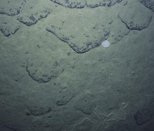
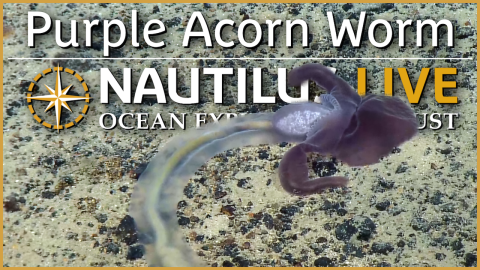
While exploring the abyssal plain with ROV Little Hercules, we observed numerous raised spirals and other shapes in the seafloor sediment. While they may resemble deep-sea crop circles, these patterns are actually fecal casts from acorn worms and other similar species. The bottom feeders will consume nutrient-rich sediment as they turn themselves, leaving a spiral trail of processed mud behind before heading off to find another place to dine and digest.

What happens when you send a styrofoam cup 5,800 meters into the deep sea?

While diving with ROV Little Hercules over 5,800 meters deep on the abyssal plains of the Western Pacific, we found this piece of marine debris that most certainly came from humans. It's a solemn reminder that our impacts on the global ocean are far-reaching.

E/V Nautilus will spend the rest of July and half of August exploring the deep sea of the Mariana Islands. In addition to the scarcity of abyssal surveys east of the Mariana Trench, only a few ancient seamounts here have been surveyed with deep-submergence vehicles. This summer, our ROV dive surveys will collect continuous visual and environmental data, as well as physical samples, to support studies of the region's biodiversity and geological context.

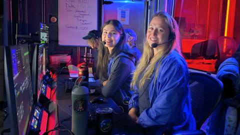
Science Communication Fellows Ashley Cosme and Yeji Lee spent the day on the bridge with Navigation Officer Adrian Pascu, learning how to manually chart the ship's position and measure distances between specific reference points. E/V Nautilus continues to use paper charts as the primary means of navigation and guidance, as they allow navigation officers to plan routes, verify electronic navigation information, and maintain safe navigation. Paper charts also help the crew aboard E/V Nautilus develop traditional navigation skills, such as plotting positions, measuring distances, and determining bearings. For these reasons, paper nautical charts continue to play an essential role in maritime safety and preparedness.

One of the new pieces of technology we have onboard E/V Nautilus this year is Woods Hole Oceanographic Institution's SV3 Model Block II WaveGlider. Purchased through Liquid Robotics, this cutting-edge surface vehicle can be deployed in conjunction with AUV Sentry: supervising its pre-programmed seafloor missions, receiving acoustic messages, and sending them over Iridium satellite to teams on the ship and/or on shore.

OET's Founder, Dr. Bob Ballard, and President, Allison Fundis, will be part of “Disney Celebrates America” - the 24-hour, non-stop, extraordinary LIVE event. Coverage begins the night of July 3rd and continues all day July 4th on ABC, Disney+, Hulu, ESPN, Nat Geo, FX, and Freeform. Tune in around 3 pm ET on July 4 to hear from E/V Nautilus!

During our exploration of the Mariana Islands region, we'll visit some of the oldest seafloor on Earth. While the are has been an important global focus for deep-sea research, the vast majority of deep-sea habitats east of the Mariana Trench remain unsurveyed and uncharacterized. These widespread areas cover close to one-quarter of the US Exclusive Economic Zone around the Mariana Islands and are by far the least surveyed in the region. In addition to being virtually unexplored, these areas also contain the oldest seafloor in the Pacific (over 167 million years old).

Happy Birthday to OET's founder and CEO, Dr. Robert Ballard! Dr. Ballard will be sailing on the NA179 expedition as the Lead Scientist.

During the NA179 expedition, we'll be launching both ROV Hercules and ROV Little Hercules to explore various habitats around the Mariana Islands. Hercules will explore (and hopefully sample) seamounts up to 4,000 meters deep, while Little Hercules will provide visual surveys of abyssal plain habitats up to 6,000 meters deep.

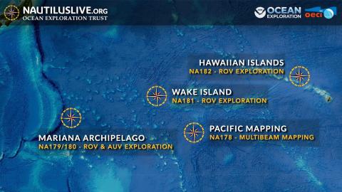
While exploring the Marianas, OET's ROVs Hercules and Little Hercules, alongside WHOI's AUV Sentry and Waveglider, will work together to put eyes on parts of the seafloor never before surveyed. For the first expedition (NA179), we'll be focusing on the southern area east of the Mariana Trench. The next expedition, NA180, will focus on sites further north.

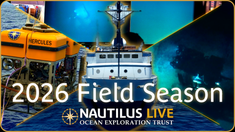
Happy World Oceans Day! We're thrilled to be launching our 2026 ocean exploration season very soon and to share our discoveries of the global ocean with the world through 24/7 live streaming. Learn more about the 2026 season via The Guam Daily Post.

OET is proud to welcome Crown Point High School, Indiana's Ashley Cosme as one of our 2026 Science Communication Fellows! Learn more via NWITimes.
