Abyssal Sentry Survey Updates
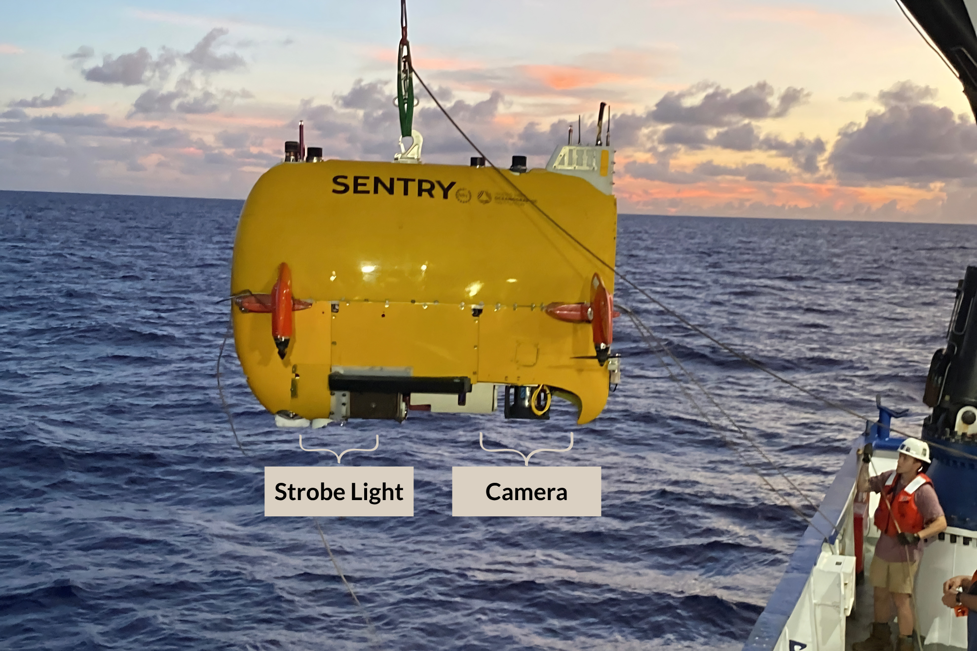
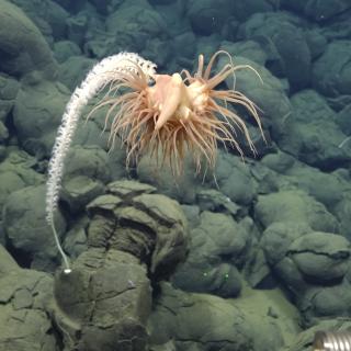
During the Deep-Sea Habitats in the Mariana Islands I & II expeditions (NA179 and NA180), the team on Nautilus was joined by a team from Woods Hole Oceanographic Institution’s AUV Sentry. Designed to conduct seafloor surveys at low altitudes and in rough or complex topography, Sentry allows the team to expand the extent of seafloor surveyed within an expedition.
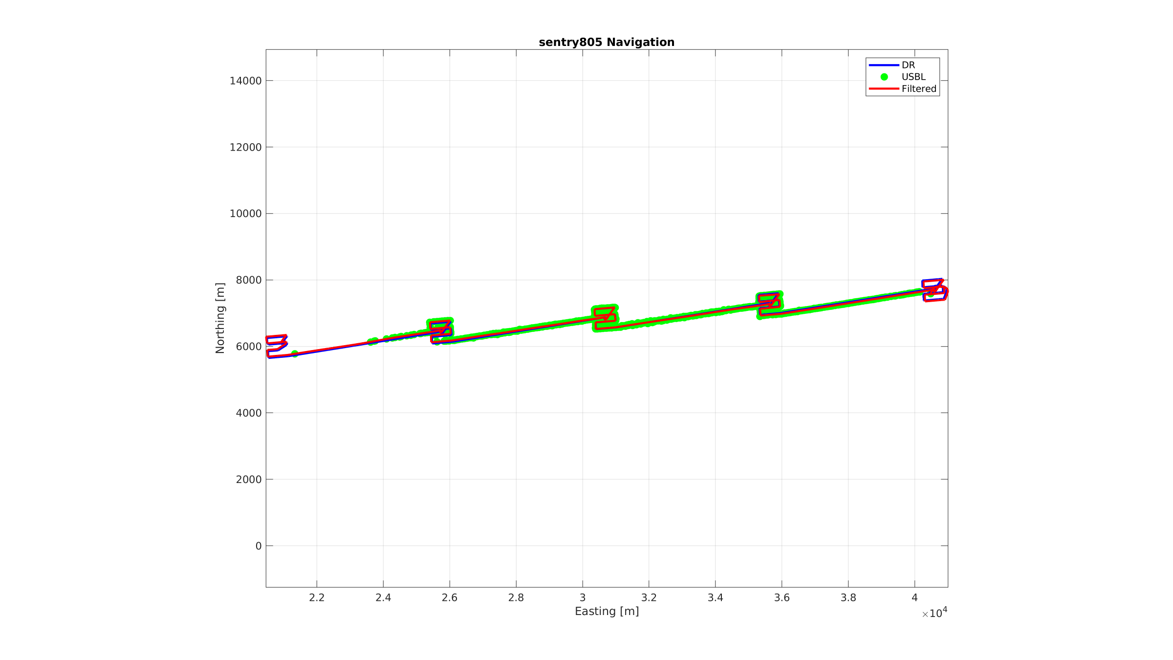
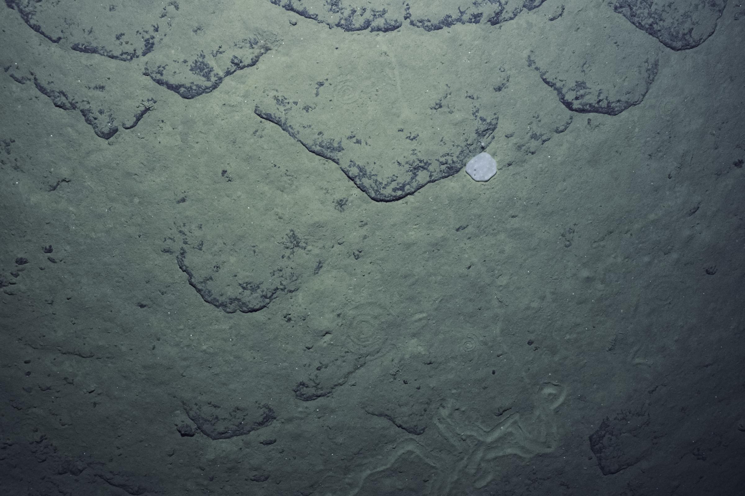
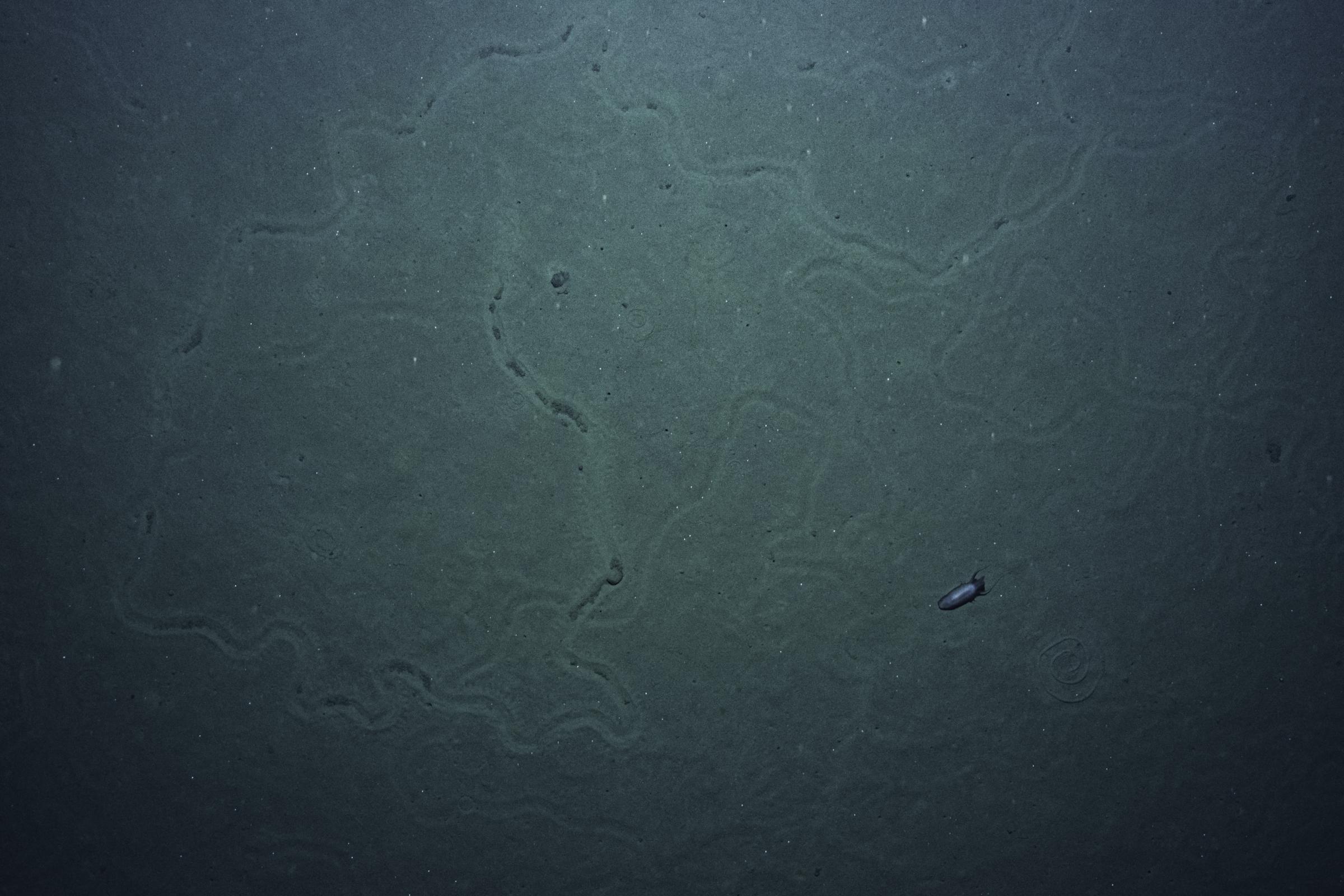
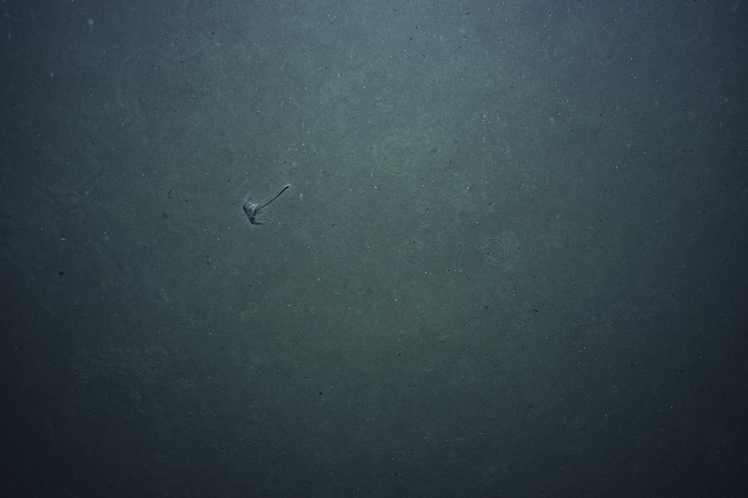
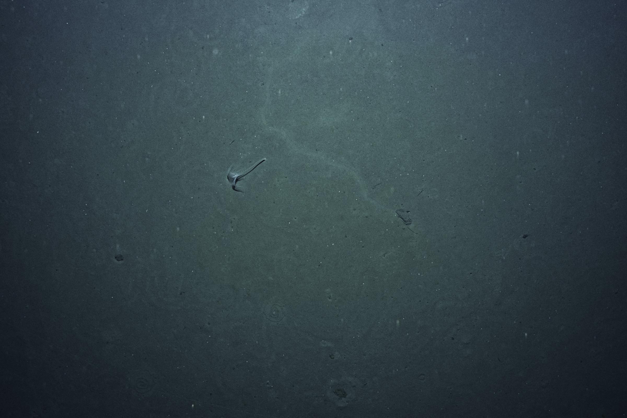
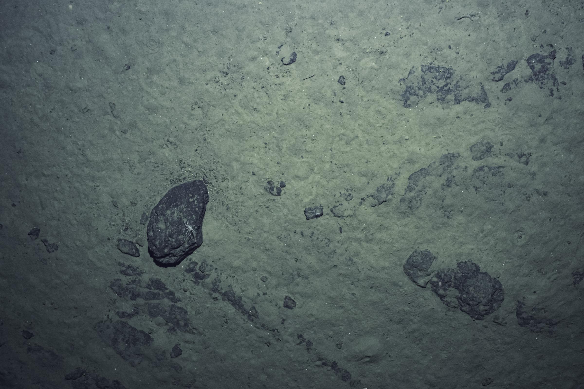
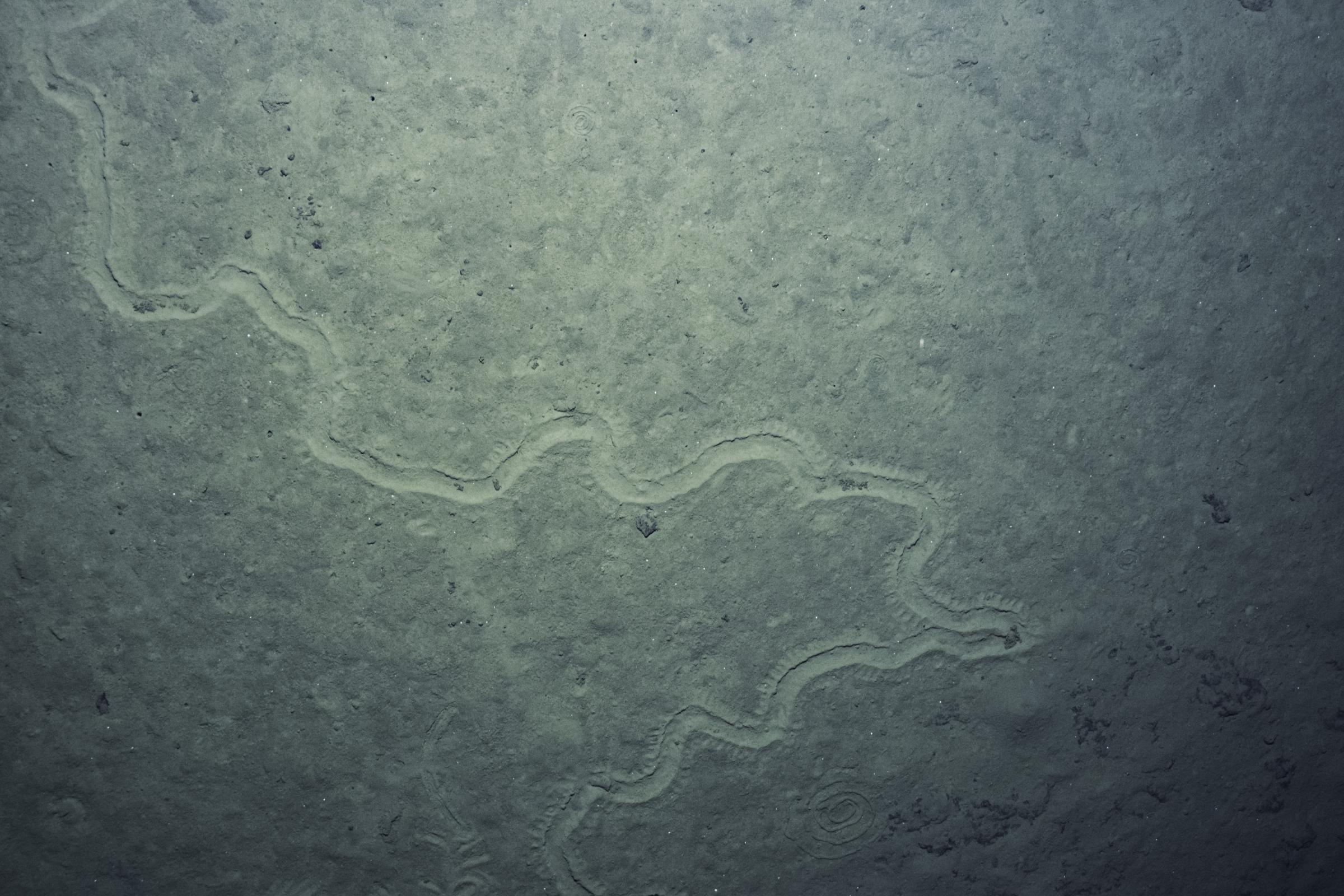
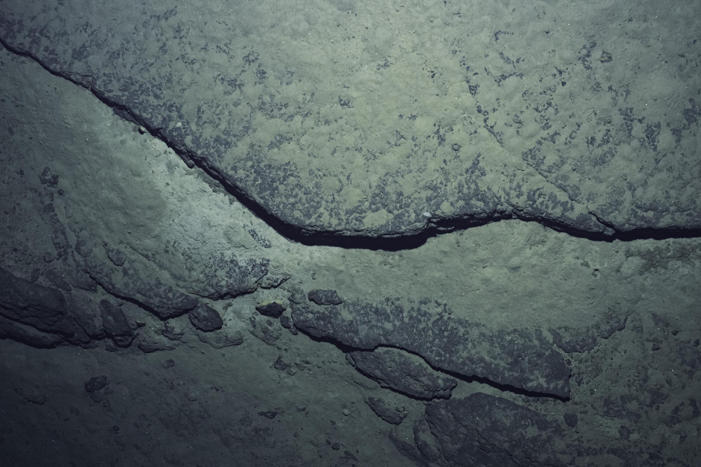
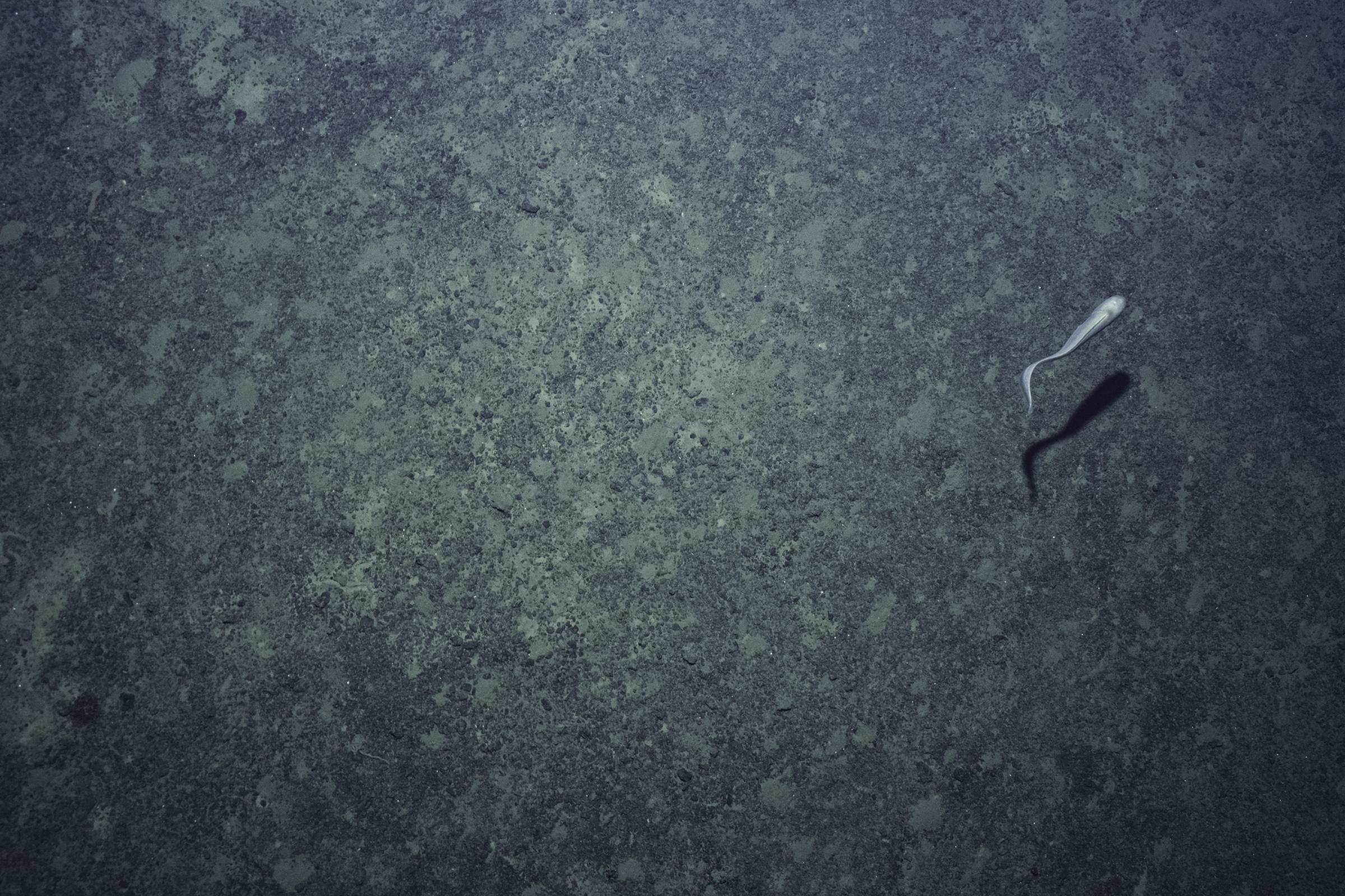
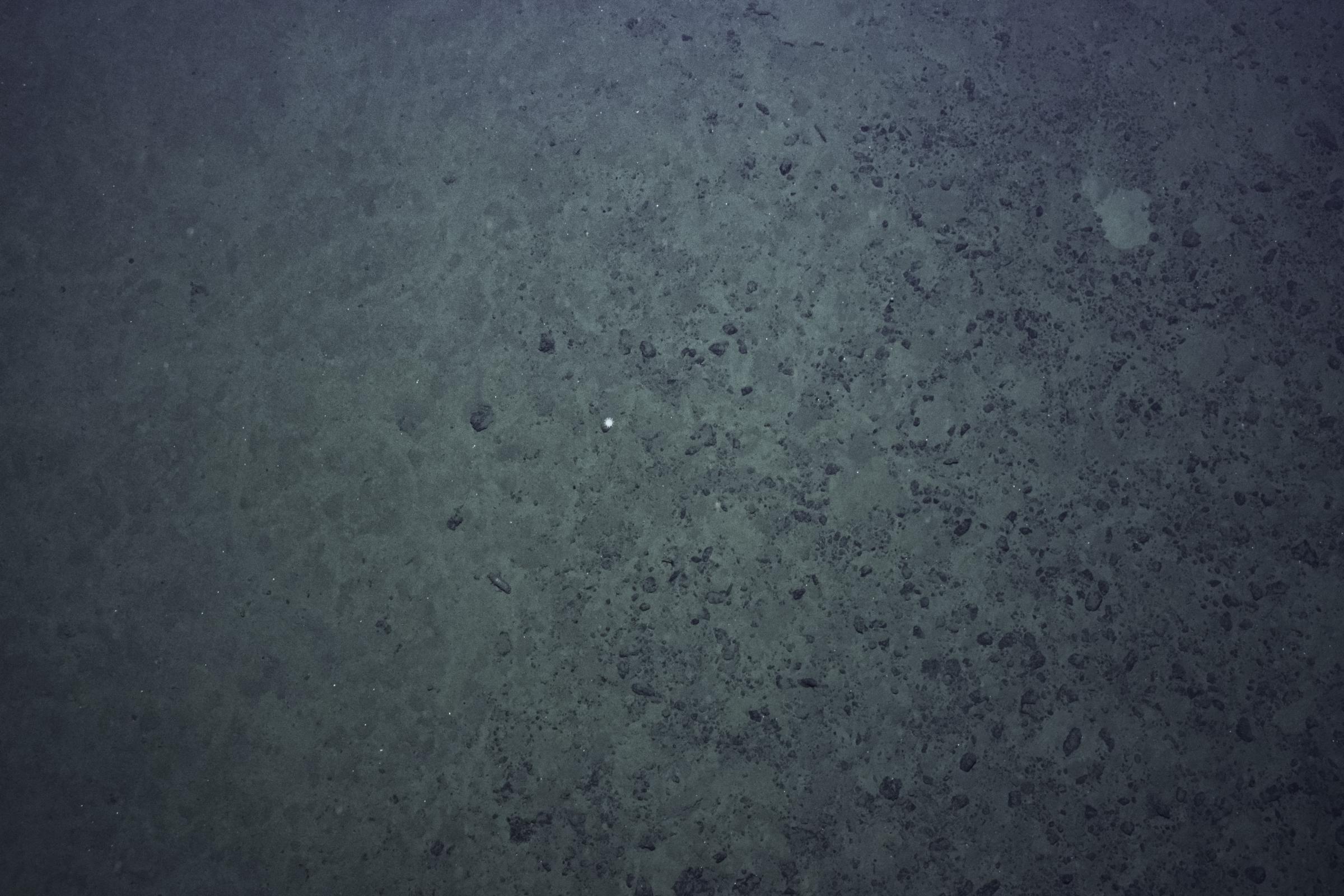
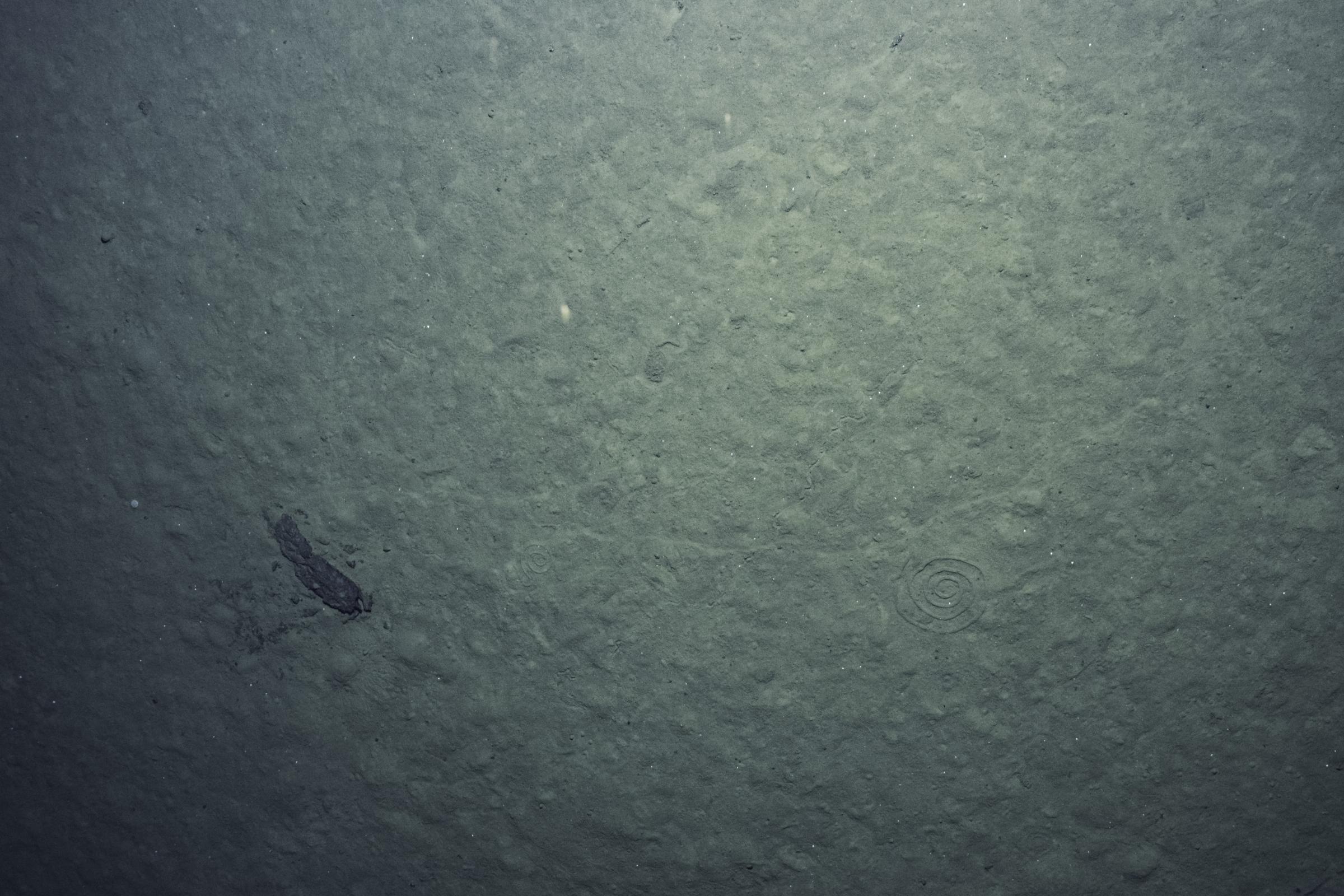
During each dive, the AUV transited along a preprogrammed line, collecting seafloor mapping data, and at regularly spaced intervals, conducted a detailed mapping survey of an area measuring approximately 500 x 500 meters. The vehicle then descended within 6 meters of the seafloor to use onboard strobes and a camera to gather images for a benthic photo survey in the center of each mapped box. This survey approach is designed to balance coverage of larger distances without sacrificing detailed looks at the seafloor.
Because AUV Sentry is an untethered, autonomous vehicle, not connected to E/V Nautilus, live streaming from that platform is not possible. Although we can't follow Sentry live from the seafloor, all of its data will be publicly archived with no embargo or access restrictions to ensure that deep-sea data is permanently available for all interested in the ocean.
Check out this album for a look at what’s been surveyed in the deployments so far!
August 5th Update
AUV Sentry has had six deployments, five of which were successful in collecting imagery. This album will continue to grow throughout the expedition and further deployments.


Deep-Sea Habitats in the Mariana Islands I
This expedition will focus on exploring the Mariana region- one of the ocean's most tectonically and volcanically dynamic locations, marked by the Earth’s deepest oceanic trench, some of the most active submarine volcanoes, and some of the oldest seafloor on the planet.
Deep-Sea Habitats in the Mariana Islands II
In our second expedition of the year in the Mariana region, E/V Nautilus will spend 22-days at sea.