OET Launches our 2026 Exploration Season in the Central and Western Pacific Ocean!

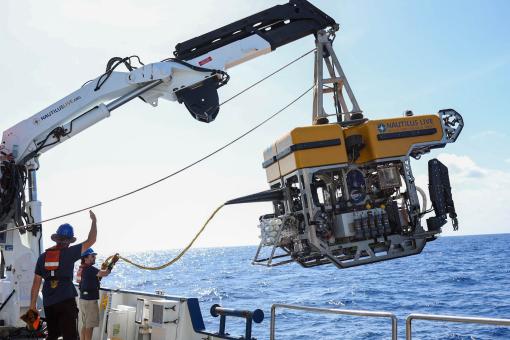
This summer, Ocean Exploration Trust (OET) and its partners will explore deep-sea habitats in the Central and Western Pacific using E/V Nautilus, its mapping sonars, ROV systems, and other exploration technologies brought aboard from partners of the NOAA Ocean Exploration Cooperative Institute and other researchers. Join us in characterizing never-before-seen deep-sea habitats in the Mariana Islands, Wake Island, and the Hawaiian Archipelago. The 2026 E/V Nautilus expeditions are primarily sponsored by NOAA Ocean Exploration via the Ocean Exploration Cooperative Institute.
“For eighteen years, OET’s approach has been the same: explore the deep sea responsibly and transparently, invite curious audiences into the process of discovery, and archive the data we collect openly and without restriction, so that researchers, resource managers, policy makers, and the public all have equal access,” says Allison Fundis, OET President and COO. “We have an enormous amount left to learn about the ocean, and an open, growing scientific foundation of knowledge is what will allow informed and responsible decisions to be made about the ocean and the resources within it.”
Our five 2026 expeditions will fill critical gaps in ocean knowledge and support US and international scientific priorities by characterizing the deep ocean’s habitats, biodiversity, bathymetry, and geological formations, including marine critical minerals and the environments where they are found. The data gathered aboard E/V Nautilus establishes a scientific baseline that future research, resource management, and responsible ocean stewardship decisions depend on. The goals of each expedition are developed with national exploration priorities and input from scientists, resource managers, and local community stakeholders in the regions where the expeditions will take place.
By openly sharing data collected during these expeditions, we will build upon decades of research, stewardship, and discovery. Mapping and ROV operations will directly contribute to the US National Strategy for Ocean Mapping, Exploration, and Characterization, the Seabed 2030 initiative, and the NOAA ‘Omics Strategy. Additionally, integrating advanced technologies into E/V Nautilus operations, including landers and autonomous underwater vehicles, will advance the national priority to increase the efficiency and sophistication of multi-vehicle ocean exploration.
From June to October 2026, E/V Nautilus expeditions will be streamed live on NautilusLive.org, a 24-hour platform that invites transparent participation in ocean exploration, bringing curious viewers from around the world into the action and allowing them to join from anywhere with an Internet connection. Telepresence technology allows viewers to engage with the team at sea by asking questions and receiving real-time behind-the-scenes updates via NautilusLive.org, as well as on social media. Classrooms worldwide are invited to connect with the at-sea team of STEAM professionals via free educational Q&A interactions. Additionally, OET offers free STEAM educational resources for K-12 learners, including national-standard aligned activities, engineering design challenges, and creative projects for learners in the classroom or at home.
Ocean Exploration Trust explores the deep ocean and makes all data from E/V Nautilus expeditions freely and publicly available to anyone — researchers, governments, conservation organizations, and communities. We conduct our Pacific expeditions as guests in ocean regions with deep Indigenous and cultural histories, and we take seriously our responsibility to be transparent about our work and our partnerships. We are working to earn and maintain the trust of the communities in whose waters we operate. We welcome direct conversations and collaborative partnership inquiries at info@oet.org.
2026 EXPEDITION OVERVIEWS
Pacific Mapping | June 10 - 24, 2026
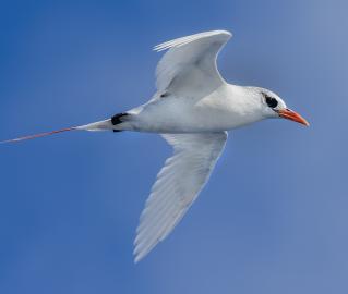
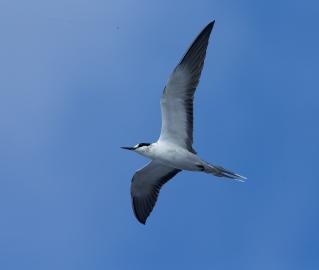
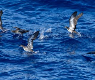
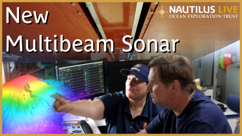
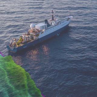
E/V Nautilus will begin the 2026 season with a seafloor mapping expedition from Hawaiʻi to Guam, where the team will support subsequent expeditions exploring deep-sea habitats around the Mariana Islands. The expedition will use the deep-water mapping capabilities of E/V Nautilus to map previously uncharted seafloor, filling gaps in global data availability. This will be the first operational deployment of the newly installed state-of-the-art Kongsberg EM304 mapping system. This technology investment, executed in partnership with the University of New Hampshire Center for Coastal Ocean Mapping and Kongsberg, will enable us to expand our mapping and exploration capabilities to depths never before reached. In addition to continuous seafloor mapping operations, the expedition will include open-ocean biodiversity surveys of seabirds and other marine species from the observation deck on E/V Nautilus.
Deep-Sea Habitats in the Mariana Islands I | June 28 – July 21, 2026
This expedition will focus on exploring the Mariana region- one of the most tectonically and volcanically dynamic locations on the planet, marked by the Earth’s deepest oceanic trench, some of the most active submarine volcanoes, and some of the oldest seafloor on the planet. This 23-day expedition will utilize the ROV, mapping, and telepresence systems of E/V Nautilus in combination with the autonomous underwater vehicle Sentry to explore poorly known deep-sea habitats, including abyssal plain habitats, seamounts, and other deep-sea areas offshore the Mariana Islands that support resource management and science priorities. This is the first of two consecutive E/V Nautilus expeditions that will explore poorly known deep-sea habitats around the Mariana Islands in 2026, and focus on the southeasternmost portion of the US Exclusive Economic Zone around the Commonwealth of the Northern Mariana Islands.
Deep-Sea Habitats in the Mariana Islands II | July 25 – August 16, 2026
In our second expedition of the year to the Mariana region, E/V Nautilus will spend 22-days at sea. The expedition will utilize the ROV, mapping, and telepresence systems of E/V Nautilus in combination with the autonomous underwater vehicle Sentry to explore some of the most poorly surveyed areas in the Mariana Islands, with a focus on abyssal plain habitats in the northeasternmost portion of the US Exclusive Economic Zone around the Commonwealth of the Northern Mariana Islands. On this expedition, the team will also deploy a high-frequency acoustic recording package from the NOAA Pacific Islands Fisheries Science Center to support cetacean monitoring in the region.
Exploration of Wake Island's Deep Sea | August 20 – September 18, 2026
Located roughly midway between the Hawaiian and Mariana Islands, Wake Island is one of the most isolated land masses on Earth. While there have been some recent expeditions to this remote region, the vast majority of the 407,241 square kilometers of seafloor surrounding Wake remains unmapped and uncharacterized, thereby representing one of the most poorly surveyed areas under US jurisdiction. This 30-day expedition will utilize the ROV, mapping, and telepresence systems of E/V Nautilus to collect critical baseline information across this largely unexplored region, with a focus on exploring poorly known deep-sea habitats in the Pacific Islands Heritage Marine National Monument and the Wake Atoll National Wildlife Refuge, including abyssal plain habitats, unexplored seamounts, and potential maritime heritage sites associated with the Battle of Wake Island. On this expedition, the team will also deploy a limited number of Argo floats from the Global Ocean Biogeochemistry Array to support large-scale oceanographic monitoring.
Deep-Sea Habitats of the Hawaiian Archipelago | September 22 – October 12, 2026
Our final expedition of 2026 brings E/V Nautilus back to the Hawaiian Islands. While nearshore waters surrounding the islands have been relatively well surveyed, many offshore areas remain completely unexplored, hindering efforts to effectively manage the resources of this unique region. This 20-day expedition will start and end in Honolulu, and utilize the ROV, mapping, and telepresence systems of E/V Nautilus to survey previously unsurveyed deep seafloor around the Hawaiian Islands, with a focus on unexplored ridges and seamounts in the eastern portion of the Papahānaumokuākea National Marine Sanctuary, and abyssal plain habitats southwest of the Main Hawaiian Islands. On this expedition, the team will also deploy a recently developed benthic lander and low-light camera system from the University of Hawaiʻi to support deep-sea coral monitoring.
Pacific Mapping
Our first expedition of the 2026 season is a seafloor mapping expedition from Hawaiʻi to Guam, where E/V Nautilus will support subsequent expeditions exploring deep-sea habitats around the Mariana Islands.
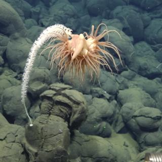
Deep-Sea Habitats in the Mariana Islands I
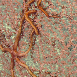
This expedition will focus on exploring the Mariana region- one of the ocean's most tectonically and volcanically dynamic locations, marked by the Earth’s deepest oceanic trench, some of the most active submarine volcanoes, and some of the oldest seafloor on the planet.
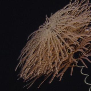
Deep-Sea Habitats in the Mariana Islands II
In our second expedition of the year in the Mariana region, E/V Nautilus will spend 22-days at sea.
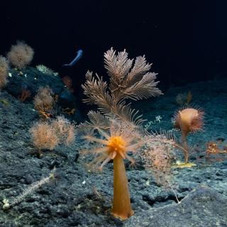
Exploration of Wake Island's Deep Sea
Located roughly midway between the Hawaiian and Mariana Islands, Wake Island is one of the most isolated land masses on Earth. While there have been some recent expeditions to this remote region, the vast majority of the 407,241 square kilometers of seafloor surrounding Wake remains unmapped and uncharacterized, thereby representing one of the most poorly surveyed areas under US jurisdiction.
Deep-Sea Habitats of the Hawaiian Archipelago
Our final OECI-sponsored expedition of 2026 brings E/V Nautilus back to the Hawaiian Islands. While nearshore waters surrounding the islands have been relatively well surveyed, many offshore areas remain completely unexplored, hindering efforts to effectively manage the resources of this unique region.