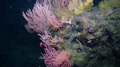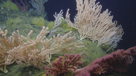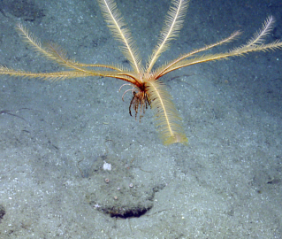


The deep-water biological habitat and geological character of the seafloor around the Channel Islands are poorly understood despite considerable research in the area and a number of special designations in place to protect these regions. Less than 50% of the seafloor within the boundaries of the Channel Islands National Marine Sanctuary (CINMS) has been mapped by high-resolution sonar. Although CINMS is one of the agencies tasked with protection of deep-water habitats and deep sea corals around the islands, it lacks sufficient data on seafloor character, spatial locations of coral gardens and information on emerging threats on deep habitats such as climate change and ocean acidification.
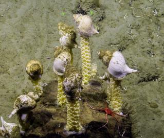
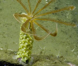
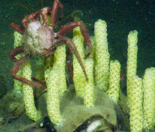
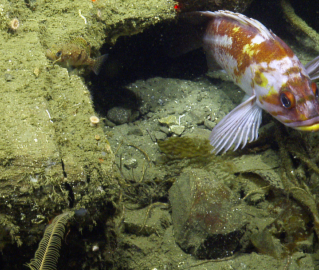
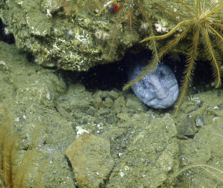
Nautilus will use a high resolution mapping system to collect sonar bathymetry and sub-bottom profiling data to characterize the seafloor in these unmapped areas. Following mapping operations, Nautilus will utilize the ROVs to make observations, collect high-definition video imagery, collect biological and geological samples, and ground truth the newly collected multibeam data.
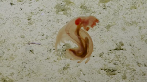
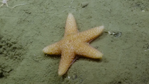
Nautilus will survey geological and geophysical aspects of the region, make new observations about the structure and nature of tectonic faults, ridges, seamounts, and basins, and potentially identify, characterize, and sample unmapped and unexplored features such as oxygen minimum zones, gas seeps, marine terraces, paleoshorelines, hardbottom habitats, and their associated benthic ecosystems.