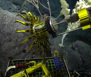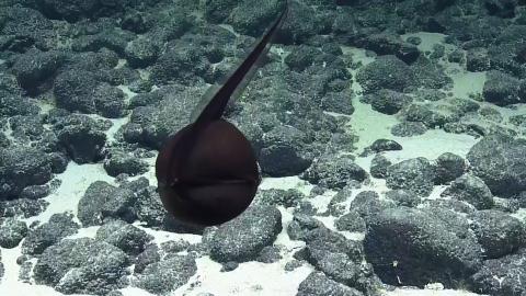


This expedition will involve mapping and subsequent ROV dives on enigmatic seamounts located in a poorly explored area of the Papahānaumokuākea Marine National Monument (PMNM). The objectives are to determine how and when these seamounts formed and to document the biological communities that presently live on them. The PMNM is the largest contiguous marine protected area in the United States. Deepwater research has been conducted for decades within the original boundaries of the monument, with areas within recently expanded boundaries remaining almost completely unexplored.
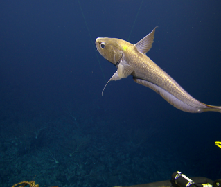
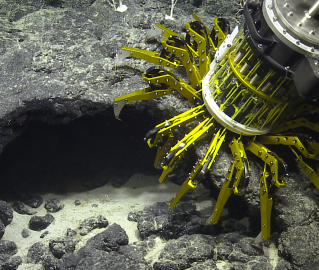
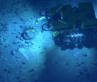
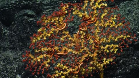
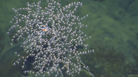
Mapping data and rocks collected during the dives will be used to test the hypothesis that these seamounts were formed by the poorly understood process of arch volcanism. The ROV dives will survey these seamounts for the present of deep high density coral and sponge communities similar to those found in the Musicians seamounts and on rift zone ridges on some of the Hawaiian banks.
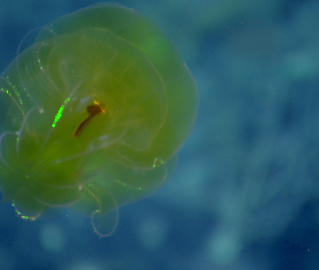
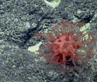
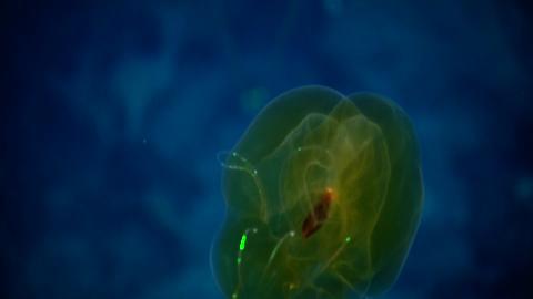
From a biological standpoint, these two seamount groups are located between the Hawaiian Ridge and the Musicians seamounts, where large scale high density deep-sea coral and sponge communities have been recently discovered. Such communities are hot-spots of biological diversity in the deep sea and have become primary targets for deep-sea conservation in U.S. waters and internationally. Findings from this expedition will help inform management efforts related to protecting deepwater habitats, commercial mining, and sustainable fisheries in the Central Pacific.
Sponsored by: NOAA Office of Exploration and Research