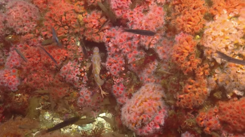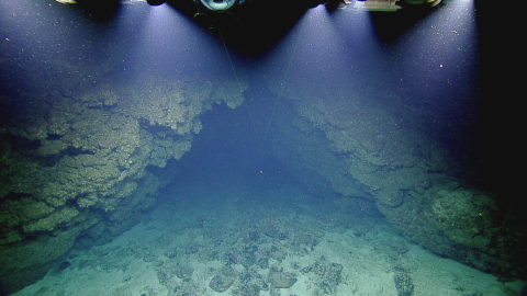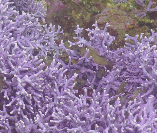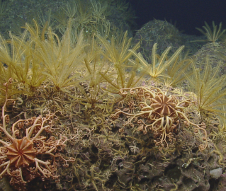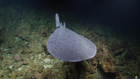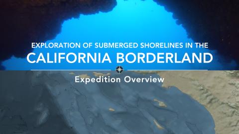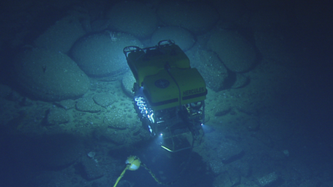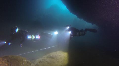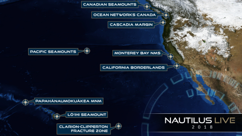


The primary focus of this expedition is the identification and characterization of submerged shorelines associated with offshore banks in the southern California Borderland region. This is a continuation of the effort by Nautilus over the last four years to acquire high-resolution mapping data of submerged shorelines and characterize primarily with remotely operated vehicles. This year’s expedition will focus on offshore banks, as those do not receive sediment from land which obscures shoreline features like caves from view.
Within the California Borderland, the Channel Islands region has a complex geologic history, starting with a fiery formation by submarine volcanism 19-15 million years ago and subsequent millions of years of movement. While the foundations were shifting, changing uplift rates and glacial cycles also resulted in fluctuating sea levels eroding away the islands, leaving strands of sedimentary rocks both above and below the current sea level as evidence of ancient paleoshorelines.
This expedition will aid in understanding the complex sea level change and tectonic history of the Northern Channel Islands. Visual exploration of sub-surface marine terraces and targeted sampling may help identify the age of paleoshorelines, determine vertical uplift rates, and improve both local tectonic and sea level models. In addition, the bathymetric and backscatter maps and benthic characterization using ROVs provides information that will help inform resource protection issues including incident response and restoration, protected resource and fisheries management, navigational safety, and conservation.
Sponsored by: NOAA Office of Exploration and Research & Office of Naval Research