2025 Expedition

Deep-Sea Habitats of the Marshall Islands

July 27 – August 17, 2025
NA174
Deep-Sea Habitats of the Marshall Islands
Expedition Leader
Lead Scientist
Lead Scientist
Lead Scientist
Co-Lead Scientist

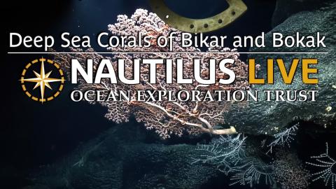
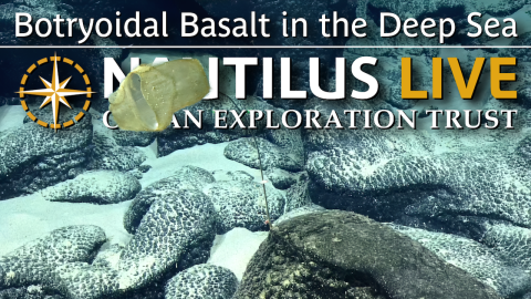
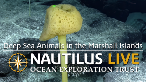
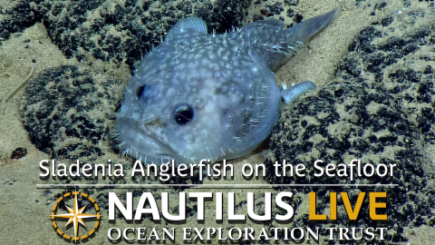
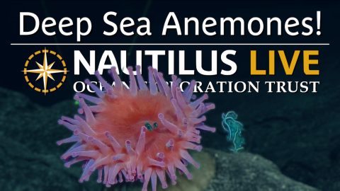
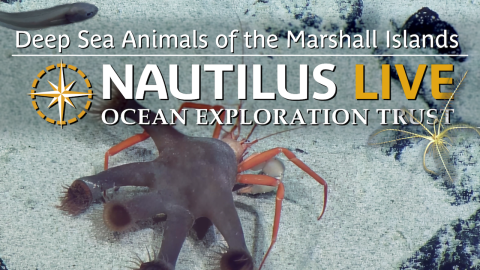
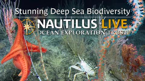
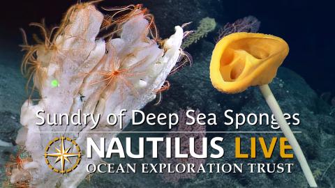
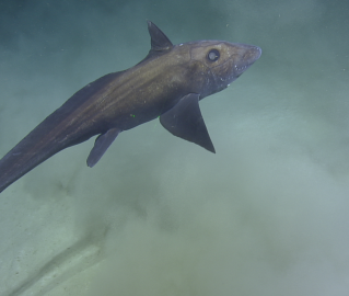
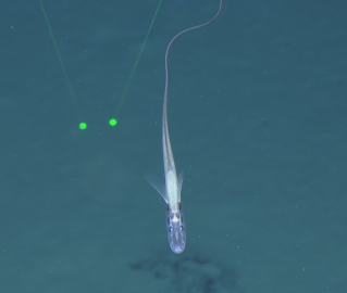
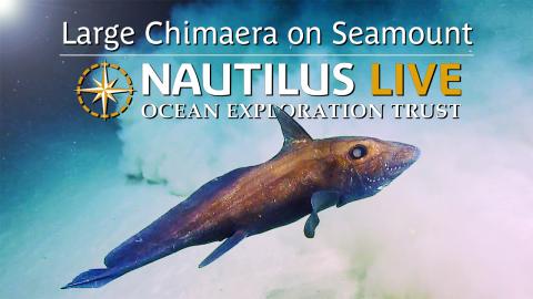
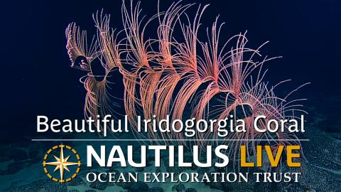
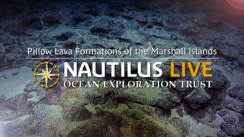
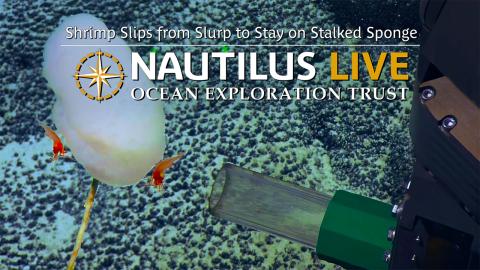
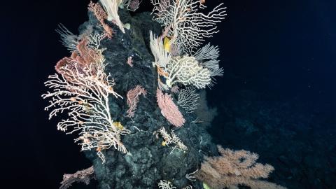
The Republic of the Marshall Islands is an atoll-based country of over 1,200 islands surrounded by 2.13 million square kilometers of ocean, the vast majority of which has never been mapped or surveyed. Despite data gaps, it’s known that the deep sea of Aolepān Aorōkin Ṃajeḷ hosts rich and diverse marine resources, including over 300 unexplored seamounts, extensive deep-sea ridges and escarpments, and numerous historically significant underwater cultural heritage sites associated with World War II. This 21-day telepresence-enabled expedition will utilize the mapping, ROV, and telepresence systems of E/V Nautilus to collect critical ocean baseline information to support the Marshall Islands Marine Spatial Planning process, as well as long-standing collaborations between the U.S. and the Marshall Islands on protecting fisheries and the environment and strengthening regional security.

This expedition is funded by NOAA Ocean Exploration via the Ocean Exploration Cooperative Institute.

Expedition Partners

Meet the Team

Expedition Posts

marshall islands volcanic map
Credit
Ocean Exploration Trust

Some evidence from the Ratak Chain suggests that its volcanoes are Cretaceous in age and are related to the Rurutu-Arago Hotspot, which is currently located near Arago (also known as Tinomana) Seamount in the Southern Pacific Cook-Austral Islands. The Ralik Chain also formed during the Cretaceous, but it has remained sparsely sampled to date, and its origins are not yet firmly identified.

Val Finlayson
Credit
Ocean Exploration Trust

During NA174, co-lead scientist Dr. Val Finlayson from the University of Maryland will oversee geology efforts, including surveying two parallel volcanic chains within the greater Marshall Islands region, often referred to as “Ralik” and “Ratak”. A small number of volcanoes from these areas have been geochemically characterized, but overall, little remains known about the origins of these volcanoes.

"Lava samples that we aim to recover during NA174 preserve chemical signatures of where and when these volcanoes formed. We can use that information to gain new insights into the geologic history of the Marshall Islands and fill one of the many gaps in our knowledge about Cretaceous volcanic activity in the Western Pacific," she says.

marshall islands
Credit
Ocean Exploration Trust

Located midway between Hawaiʻi and the Philippines, the Republic of the Marshall Islands is an island nation in the Central Pacific region of Micronesia. As one of only four atoll-nations in the world, the Republic of the Marshall Islands consists of 29 low-lying atolls and five main islands that are surrounded by over 2.13 million square kilometers of mostly unexplored seafloor. The islands are oriented into two parallel island chains: Ratak in the east and Ralik to the west, which means sunrise and sunset in the Marshallese language, respectively. Each of the 29 atolls consists of a number of islets separating a central lagoon from the surrounding barrier reef, together totaling more than 1,200 individual islets. With a total land area of only 181 square kilometers, 98.9% of the Marshall Islands' territory is underwater - the largest proportion of water to land of any sovereign state.