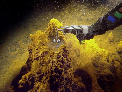
2014 Expedition Season
The Ocean Exploration Trust was founded in 2008 by Titanic-discoverer and National Geographic Explorer-in-Residence Dr. Robert Ballard to engage in pure ocean exploration. Our international programs center on scientific exploration of the seafloor and many of our expeditions are launched from aboard Exploration Vessel (E/V) Nautilus, a 64-meter research vessel operated by the Ocean Exploration Trust. In addition to conducting scientific research, we offer our expeditions to explorers on shore via live video, audio, and data feeds from the field. We also bring educators and students of all ages aboard during E/V Nautilus expeditions, offering them hands-on experience in ocean exploration, research, and communications.
2014 Nautilus Expeditions
Straits of Florida
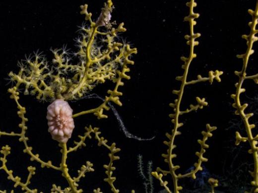
This cruise will focus on the discovery of new cold-water ecosystems and improved understanding of underwater geological hazards and processes. The Straits of Florida is a trough that separates the Florida Peninsula from Cuba and the Great Bahamas Bank. Due to the differences in geological, oceanographic, and chemical processes within this region, the deep water contains some of the greatest species richness in the Atlantic Ocean. The expedition will also study underwater landslide deposits and slump scars for evidence of methane escape, as a cause of slope failure and potential tsunamigenesis. Methane venting would likely support rare chemosynthetic communities. Large vertical displacements of the seafloor will be examined to better understand local plate tectonic activity and potential for slope failure, earthquake, and tsunami hazards.
Dry Tortugas
NOAA’s Office of National Marine Sanctuaries selected two deep-water areas off southwest Florida to better understand the ecological connectivity of deep-water biological habitats and communities to the Florida Keys National Marine Sanctuary, the Tortugas Ecological Reserve, and Pulley Ridge Habitat. Exploring the biological and geological character of these areas will aid the ongoing management plan review of the Florida Keys National Marine Sanctuary — including the Tortugas Ecological Reserve — by documenting the physical and biological connections of unique places at the ecological crossroads of the Gulf of Mexico, Caribbean Sea, and Atlantic Ocean. This mission is a rare opportunity to document the conditions in deep-water areas of the Reserve and evaluate the impact of management strategies on the deep-water community.
ECOGIG
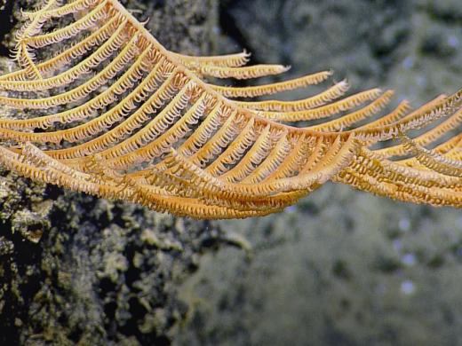
This cruise is part of a larger research program focused on examining the ecosystem-level response to oil and gas in the Gulf of Mexico. The research group leading the cruise is called the Ecosystem Impacts of Oil and Gas Inputs into the Gulf of Mexico (ECOGIG) Consortium, which is made up of scientists from a wide variety of disciplines studying current flow, ocean chemistry, microbial activity, deep-sea coral communities, and everything in between. ECOGIG, funded as a part of the Gulf of Mexico Research Initiative (GoMRI), is studying both natural oil and gas seepage into the Gulf of Mexico and ecosystem responses and effects directly attributable to the 2010 Deepwater Horizon oil spill. The team will focus on deep-sea corals, animals that live on and around them, and their response to the oil spill. To do so, they will re-image as many as possible of the same corals that they have followed over the last 4 years and collect samples for analyses of coral and microbe response to natural seepage.
Exploring Unknown America
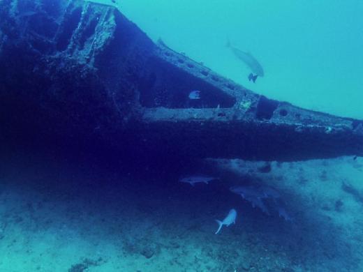
This expedition focused on documenting the myriad natural and cultural resources that lie in U.S. waters for the joint National Geographic and 60 minutes television special, The Unknown America. Some exploration sites visited include brine pools, deep-water coral reefs, and several shipwreck sites. These include German U-boat U-166 & Robert E. Lee. U-166 sank with all hands lost in 1942, after its crew torpedoed the steam passenger ship Robert E. Lee, on which 250 of 270 passengers were saved. U-166 is the only known U-boat to be sunk in the Gulf of Mexico. Other potential sites include Gulf Penn and Gulfoil, two oil tankers that were sunk by German U-boats during World War II. These two wrecks have a high abundance of very large corals growing on them, in particular, Lophelia pertusa, and have been used by biologists to study colonization and growth of these poorly understood types of corals. We are also working with the Bureau of Ocean Energy Management (BOEM) to select unidentified sonar targets to investigate during this expedition.
Gulf Integrated Spill Research (GISR)
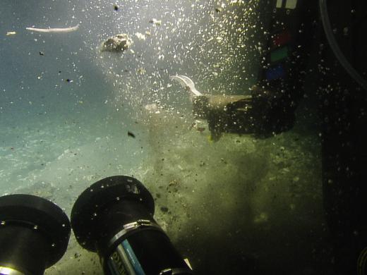
This cruise is part of the Gulf Integrated Spill Response (GISR) Consortium, funded by the Gulf of Mexico Research Initiative (GoMRI). The vision of the GISR Consortium is to understand and predict the fundamental behavior of petroleum fluids in the ocean environment. This capability is critical to inform decisions during response to oil spills and for development of mitigation plans, ultimately yielding significant environmental and financial savings. The mission of the currently funded activities is to develop a multi-scale modeling system validated by field and laboratory experiments to track the pathways of transforming hydrocarbons released from deep oil spills in the oceans. Scientists will acoustically and visually map the bubble/droplet plume through the water column at several different times (about once or twice per day) while on-site.
Mesoamerican Reef
The deep waters around and off the coasts of the Belizean cayes and atolls are among the least studied areas of the Caribbean Sea. The 2014 Nautilus cruise to the western Caribbean will conduct seafloor mapping and ROV exploration of the areas around and offshore the cayes and atolls of the Belize Barrier Reef, including potential mud volcanoes off Turneffe and Lighthouse atolls. Additionally, archaeological survey will be conducted with side-scan sonar and ROVs in areas of historical importance around the Belizean cayes. The Gulf of Honduras in the western Caribbean is home to large and abundant deep-sea coral and sponges. This is a dilution basin where sediment from rivers is mixed with the surrounding ocean waters. The two reef systems comprise the southern half of the Mesoamerican Reef, comprised of lagoons, coral reefs, barrier reefs, and atolls. This reef system is a World Heritage site and is listed on the UNESCO List of World Heritage in Danger. The deep areas of these reefs and atolls have never been explored or mapped and hold a great potential for understanding the dynamics of this bay and the health of the reefs.
Windward Passage Project
The Windward Passage, located between Cuba and Haiti, is a major conduit between the Atlantic Ocean and Caribbean Sea. It is a site of complex currents, mixing and exchange of water that have been little explored despite the historical importance of this region as a major shipping route. This region also represents a very active portion of the northern Caribbean plate boundary, where several geologic (seismic and tectonic) features and processes occur along the seafloor beneath the Windward Passage. These structures and processes come together to make Haiti a very high risk for catastrophic events like the 2010 earthquake that took a tremendous human toll. For these reasons, it is crucial to explore the seafloor in this tectonically active and recently reconfigured region. We will also conduct at least one dive within the territorial waters of Navassa Island - a U.S. holding that has never been explored - to document new deep coral communities, drowned reefs, and make unknown underwater discoveries.
Mapping Transit Montego Bay, Jamaica, to San Juan, Puerto Rico
Anegada Passage & the British Virgin Islands' Seamounts
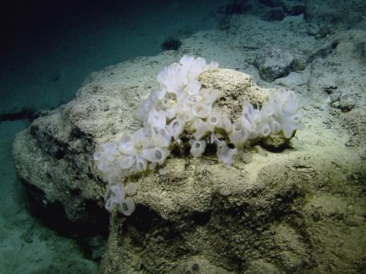
Within the Caribbean region, numerous unexplored seamounts punctuate the seafloor holding records of geologic, biologic and oceanographic processes over different time-scales. Seamounts are topographically and oceanographically complex with environmental characteristics that vary greatly and have often been suggested to be biodiversity hotspots, however, many of these hypotheses are only beginning to be explored in detail. Exploration of seamount environments in the Greater Antilles/Lesser Antilles transition zone will provide insight into their geological origin, the spatial distribution, ecology, and biodiversity of associated fauna.
Seafloor Mapping: British Virgin Islands to Grenada
Kick 'em Jenny Submarine Volcano Project
This cruise to the southern Lesser Antilles volcanic arc is part of the INSPIRE project, funded by NSF with the purpose of studying and improving telepresence for ocean exploration. Scientists will implement several student-designed exploration projects led from shore. Kick’em Jenny is the most active submarine volcano in the Caribbean Sea, and during the past century it has shown a history of progressive growth with explosive eruptions. Hazards include explosive eruptions that can breach the sea surface and the potential for tsunami generation. The Nautilus cruise in 2014 will continue exploration of Kick’em Jenny with a new set of sensors to examine any changes in gas/fluid venting in the inner crater that might indicate renewed eruptive activity. Another area of investigation is a large province of cold seeps and mud volcanoes North of Trinidad & Tobago. These methane and sulfur-rich fluids host chemosynthetic biological communities and produce mud volcanoes by transporting and discharging fine grain mud on the seafloor.
Expedition Map