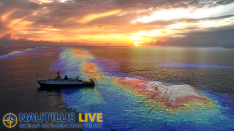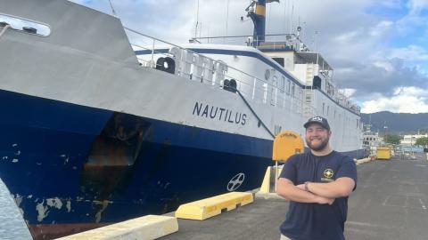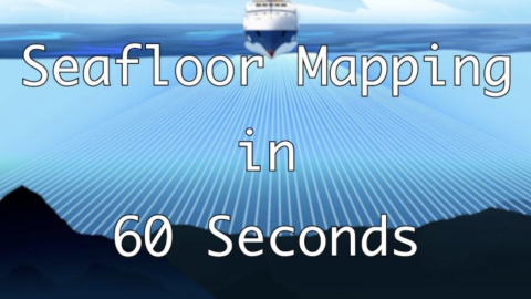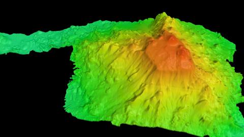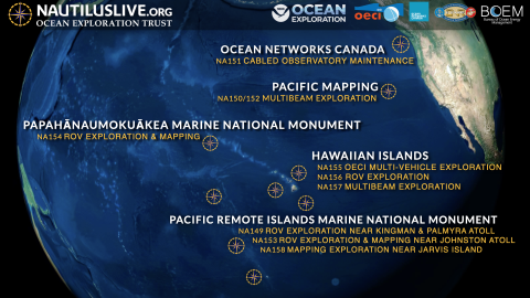


Traveling to the southern hemisphere, this expedition takes the team to Jarvis Island, one of the most poorly mapped areas under US jurisdiction, where our high-resolution bathymetric seafloor mapping will add to the world’s baseline knowledge of this poorly studied part of the Pacific Remote Islands Marine National Monument (PRIMNM). High-resolution seafloor mapping will help identify unique and interesting features for future ROV exploration and supports management and conservation efforts within one of the largest marine protected areas in the world.
Mapping the seafloor surrounding Jarvis Island is urgently needed to support PRIMNM management priorities as a Monument management plan is under development and will also address Monument science objectives, including follow-on surveys to better understand the natural and cultural resources of the Monument.
This expedition is funded by NOAA Ocean Exploration via the Ocean Exploration Cooperative Institute.