



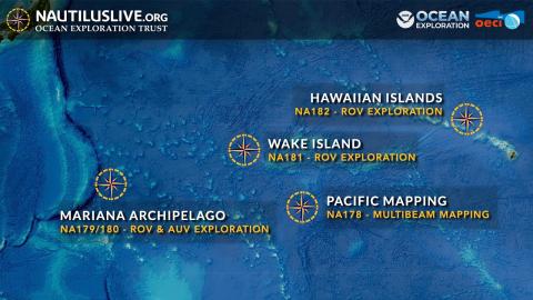
Located roughly midway between the Hawaiian and Mariana Islands, Wake Island is one of the most isolated land masses on Earth. While there have been some recent expeditions to this remote region, the vast majority of the 407,241 square kilometers of seafloor surrounding Wake remains unmapped and uncharacterized, thereby representing one of the most poorly surveyed areas under US jurisdiction. This 30-day expedition will utilize the ROV, mapping, and telepresence systems of E/V Nautilus to collect critical baseline information across this largely unexplored region, with a focus on science priorities of the Pacific Islands Heritage Marine National Monument and the Wake Atoll National Wildlife Refuge, including abyssal plain habitats, unexplored seamounts, and potential maritime heritage sites associated with the Battle of Wake Island. On this expedition, the team will also deploy a limited number of Argo floats from the Global Ocean Biogeochemistry Array to support large-scale oceanographic monitoring.


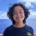
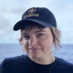
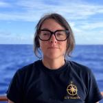
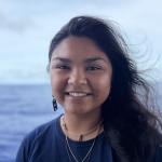
Meet the Team






















Gallery Highlights
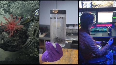
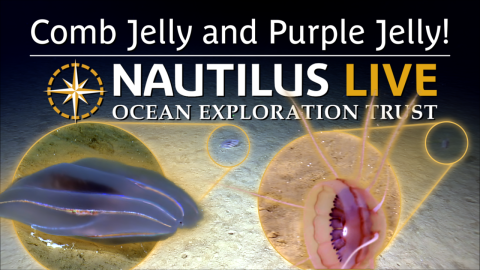
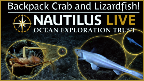
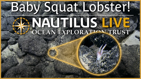
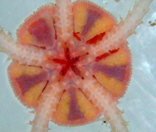
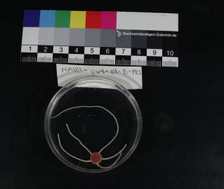
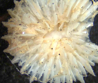
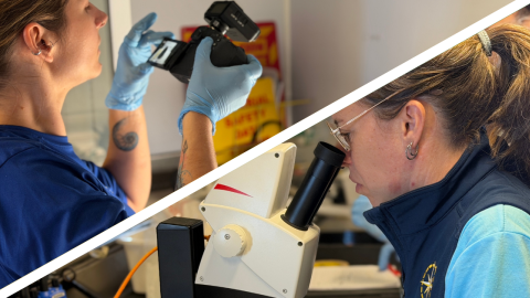
Up Close and Personal With Deep Sea Samples
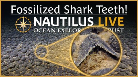
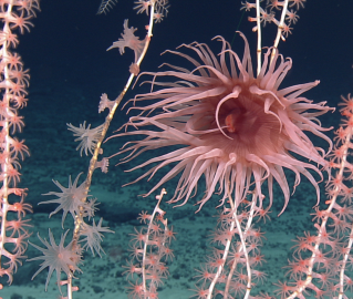
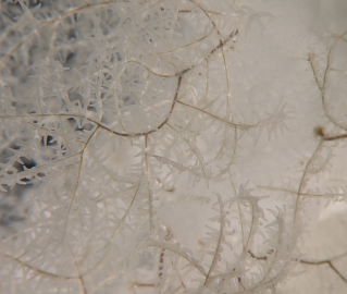
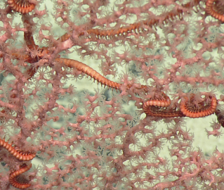
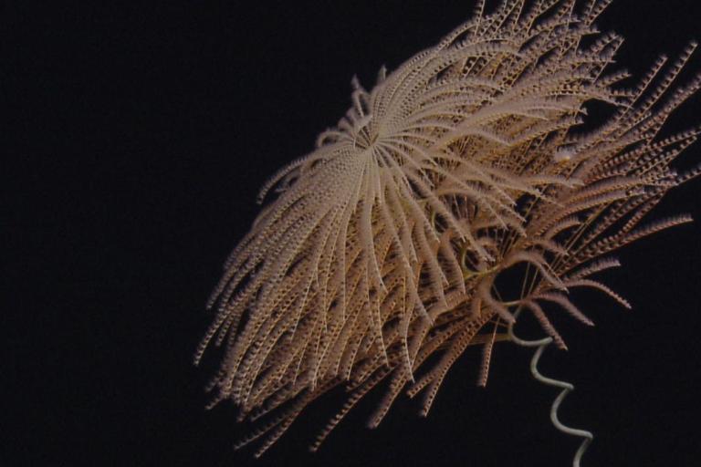
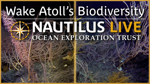
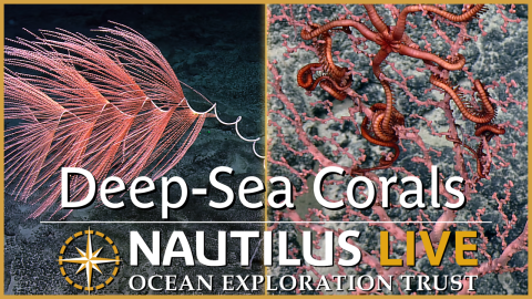
Deep Sea Corals of Wake Atoll
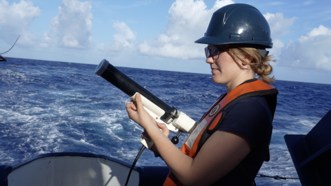

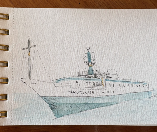
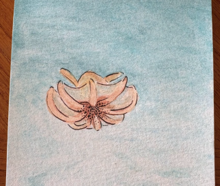
Sketches at Sea



Expedition Posts

Corps of Exploration member and Lead Science Communication Fellow Erin Winick Anthony spoke to the Alliance Amateur Radio Network LIVE from E/V Nautilus earlier this season. Watch the video here.

New ocean exploration technology alert! During NA181, we're excited to premiere the newly added Quokka eDNA sampler in E/V Nautilus' wet lab. Developed by the Australian National Science Agency, the Commonwealth Scientific and Industrial Research Organisation (CSIRO), the Quokka is a surface eDNA sampler that automates water filtration and sample preservation for environmental DNA (eDNA) at regular intervals during vessel transit. The Quokka is programmed in advance using sampling “missions,” and during each sampling event, seawater is automatically flushed through the system, filtered for one hour, and preserved. Once a mission ends, the preserved filters are stored at -80°C until the expedition concludes. These samples are collected opportunistically during transits, helping fill biodiversity data gaps across the vast, remote, and greatly undersampled regions where E/V Nautilus expeditions typically occur.
The Globalising Marine Biodiversity Observations partnership (GloMBO) is a partnership between CSIRO and the Minderoo Foundation to develop automated eDNA sampling that can operate beyond traditional research voyages. The Ocean Exploration Trust is proud to partner with this initiative by helping to collect samples and field-test sampling approaches in some of the most remote portions of the Pacific.

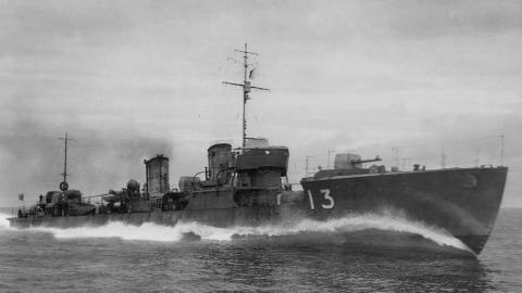
As with most aspects of ocean exploration, the first step in searching for maritime heritage sites is mapping. For the areas around Wake Atoll involved in the Battle of Wake, we've used the Norbit WBMS multibeam sonar. The Norbit is a 400-kilohertz (kHz) compact, lightweight multibeam sonar that is depth-rated to 4500 m for mapping subsea data from a remotely operated vehicle (ROV) platform. By "mowing the lawn" back and forth with this sonar, the team can create very high-resolution terrain maps and potentially identify exploration features of interest for up-close ROV exploration that may not have been resolved on a lower-resolution map.

Spotted! E/V Nautilus off Wake Atoll as it explores a variety of mapping targets in search of maritime heritage sites from the Battle of Wake. Thanks to the air traffic control team on Wake for the unique perspective!

Located 2,138 nautical miles west of Honolulu, Wake Atoll National Wildlife Refuge is the northernmost atoll in the Marshall Islands geological ridge and perhaps the oldest and northernmost living atoll in the world. The refuge includes 495,515 acres of submerged lands and waters surrounding Wake Atoll out to 12 nautical miles and is home to hundreds of species of coral, fish, birds, and more wildlife. The Refuge is part of the Pacific Remote Islands Marine National Monument, cooperatively managed by the U.S. Fish and Wildlife Service and the Department of the Air Force.

We're currently exploring the mysterious abyssal plain ecosystem! Abyssal plains consist of a network of plains and rolling hills punctured by seamounts and knolls. Due to their vast size, abyssal plains are thought to be major reservoirs of biodiversity. For example, more than 80% of the hundreds of invertebrate species collected at abyssal seafloor stations in various studies are new to science. However, because the vast majority of abyssal plain habitats have never been surveyed, their true biodiversity remains largely unknown. The enormous abyss also provides several other ecosystem services, including carbon sequestration, nutrient cycling, and climate regulation.

Located roughly midway between Hawaiʻi and the Mariana Islands, Wake Atoll is one of the most isolated land masses on Earth. While recent scientific expeditions have explored this remote region, the vast majority of the 407,241 square kilometers surrounding Wake remain unmapped and uncharacterized, making it one of the most poorly surveyed areas under US jurisdiction. What we know as Wake Island is not one island but three: Wake, Wilkes, and Peale. Ringing a shallow lagoon on the rim of a submerged volcano, they sit more than 2,000 miles from Hawaiʻi and roughly 450 miles from the nearest land in the Marshall Islands.

OET proudly welcomes Sabrina Medina, Education Program coordinator with the Maui Ocean Center Marine Institute, to our 2026 Science Communication Fellowship cohort! Learn more via Maui Now.
