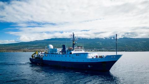
UPDATE — Ongoing repair to a ship system has changed plans for the expedition, postponing the ROV exploration portion of this expedition within the Jarvis Unit of PRIMNM. The expedition will now evolve into a mapping transit leg to American Samoa. Seafloor mapping in unexplored areas directly contributes to the US National Strategy for Ocean Mapping, Exploration, and Characterization, the UN Decade of Ocean Science for Sustainable Development, and the Nippon Foundation and General Bathymetry Chart of the Ocean Seabed 2030 Project, a multi-national initiative that aims to map the global seafloor by 2030.
The team also deployed an acoustic mooring to support monitoring by the Cetacean Research Program of the NOAA Pacific Islands Fisheries Science Center. This mooring, within American Samoa Territorial Waters, will gather data contributing to an assessment of whale and dolphin populations in the central and western Pacific Ocean. The expedition continues to be made available to the public in real-time through live-streamed video and other resources on NautilusLive.org, a 24-hour portal bringing expeditions from the field to people on shore via telepresence technology. Viewers can also follow expeditions with behind-the-scenes updates on social media and schedule connections directly to classrooms via free educational Q&A interactions from the onboard broadcast studio.
This expedition is funded by NOAA Ocean Exploration via the Ocean Exploration Cooperative Institute.

