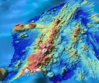
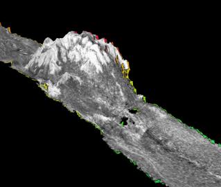
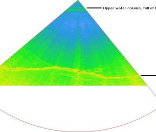
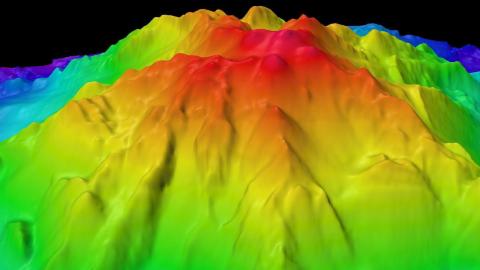
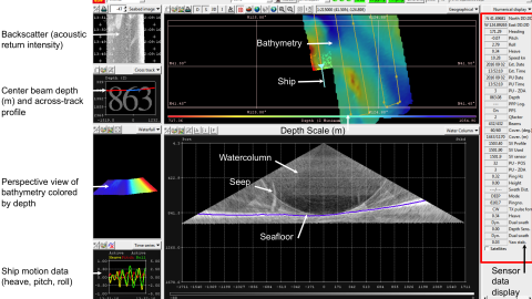
This expedition will continue previous years of mapping by Nautilus to provide the foundational seafloor mapping data set of a number of priority sites of Greater Farallones National Marine Sanctuary (GFNMS) and Cordell Bank National Marine Sanctuary (CBNMS). GFNMS protects 3,295 square miles, and the CBNMS encompasses 1,286 square miles of seafloor habitat, and achieving a better understanding of habitats in these regions helps to inform conservation and management.
Data collection of high resolution bathymetry and seafloor characterization will inform dive planning later in the year as E/V Nautilus returns in October 2019 to visually survey some of these regions using remotely operated vehicles (ROVs). Priority sites include the Point Area Biogenic Area South, particularly in areas that are proposed to be opened to bottom trawling and adjacent areas proposed to be closed in 2019. Data will also be used to identify areas for future research of deep-sea corals and sponge habitats that will serve as sentinel sites for ocean acidification monitoring and identification of impacts within an upwelling region.


