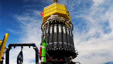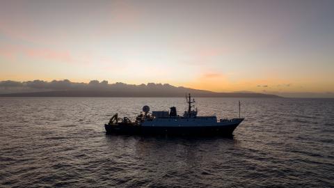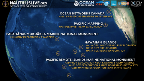


This ten-day expedition will start and end in Honolulu and utilize the deep-water mapping capabilities of E/V Nautilus to survey previously unmapped seafloor in the U.S. EEZ south of the Main Hawaiian Islands. In addition to deep-sea mapping operations, the expedition will also include deployments of the Deep Autonomous Profiler to collect visual, environmental, and eDNA data to enable baseline characterizations of the deep-water environments of this region.
While nearshore waters surrounding the Main Hawaiian Islands have been relatively well surveyed, many offshore areas remain completely unmapped, hindering efforts to manage the resources of this unique region effectively. Supported by NOAA Ocean Exploration via the Ocean Exploration Cooperative Institute and the Bureau of Ocean Energy Management, this expedition will support NOAA and U.S. Geological Survey mission goals, the US National Strategy for Ocean Mapping, Exploration, and Characterization the GEBCO-Nippon Foundation’s Seabed 2030 program. The U.S. Geological Survey will contribute expertise in seafloor mapping and genetic analysis.
This expedition is funded by NOAA Ocean Exploration via the Ocean Exploration Cooperative Institute in partnership with the Bureau of Ocean Energy Management.