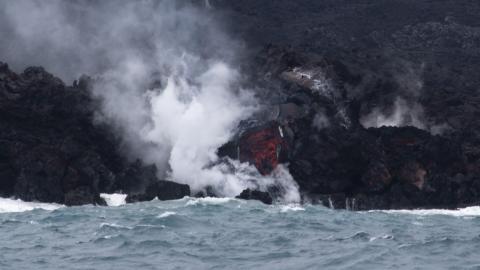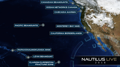

This expedition is primarily a transit mapping leg from Sidney, British Columbia to Hilo, Hawai'i as the E/V Nautilus’ operations move for the first time to areas around Hawai'i. The transit route has been planned to fill in gaps in seabed mapping coverage across the Pacific, plus targeted mapping of a number of seamounts in the vicinity of the Murray Fracture zone.
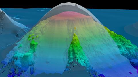
Systematic mapping of the seafloor by echosounder commenced nearly a century ago, however, more than 80% of the world’s seafloor is still not mapped, and the eastern Pacific Ocean is no exception. E/V Nautilus is equipped with a multibeam sonar and sub-bottom echosounder to collect bathymetric, surface sediment characteristic, subsurface geology and water column data.
The route will commence with passage to cross the Mendocino Fracture zone, to complete a line of mapping in support of the U.S. Extended Continental Shelf Project and further illuminate the complex geologic processes in this region. A series of linear seamounts to the south of the Murray Fracture Zone will also be mapped to support analysis of the geological structure and processes of the relationship of the seamounts to the adjacent fracture zone. Potential mapping targets also include North Pacific seamounts with shallow summits that may be potential targets for deep-sea bottom fishing.
Sponsored by: NOAA Office of Exploration and Research