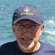
Lindsay Gee
Tell us about your work / research. What kinds of things do you do?
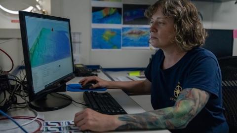
In recent years my work has focused on the technology used in the ocean mapping industry, and the strategic planning and business development required to identify and transition innovative technology to products, services and solutions for general operational use.
What sparked your initial interest in your career?
I joined the Australian Navy after high school and during initial training I was fortunate enough to spend time in hydrographic and oceanographic ships. I realized that this extended my interest in navigation to surveying and creation of the charts used. The Australian coastal waters do not have heavy ship traffic and much of the area is poorly charted, so we would often be exploring and mapping areas that were totally unsurveyed. It was very satisfying to complete a survey knowing you’d helped to remove some of those blank parts of the chart.
Who influenced you or encouraged you the most?
I have been very fortunate throughout my working life to have many people who have influenced and encouraged me. My view is that you always have something to learn from others, and if you are willing to show people respect and truly listen they will only be too happy to assist and encourage you.
What element of your work / study do you think is the most fascinating?
I had the privilege of working in a small software company associated with leading research institutes that gave me the opportunity to be involved in a team that transitioned the latest research into operational products and solutions for the broader ocean mapping industry, to make them more efficient and in some cases, such as multibeam seep mapping, to map the oceans in ways that were previously not possible.
What other jobs led you to your current career?
My initial twenty years in the navy gave me a great base to build the rest of my career, by providing me a whole cross section of skills that would have not been possible to learn in any other single job. It allowed me to transition into a mapping and technology-consulting role for a period, and then into leading a start-up software company.
What are your degrees and certifications?
Bachelor Surveying Science – University of New South Wales
What are your hobbies?
There is nothing better than listening to live music outside in summer either in our local park, or especially at the Newport Folk Festival. I love to read, both fiction and non-fiction, and even better if it can support a local independent bookstore.
What advice would you give to someone who wants to have a career like yours?
Be open to learning from everyone you interact with throughout your career. They all have taken a unique path and it may surprise you what opportunities emerge. Don’t over plan your career and be willing to take the occasional risky change in direction when you come to that fork in the road!
How did you get involved in the Nautilus Exploration Program? How did you get on the ship?
I previously worked for IVS 3D, a company that developed software applications that are used on the Nautilus, and I was involved in providing support and assistance to the team in using our software. The company also had an association with Center for Coastal and Ocean Mapping UNH and transitioned some of their multibeam sonar water column research to tools that are used on Nautilus. So I jumped at the opportunity to join Nautilus to be involved in a mapping project using the software with the OET team.
Expeditions
Lindsay participated in the following Ocean Exploration Trust expeditions:


