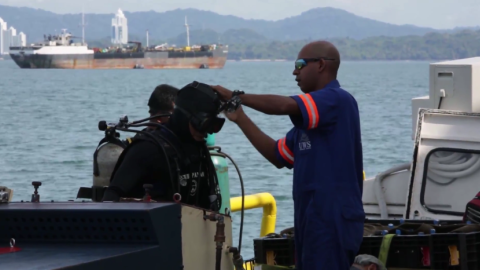
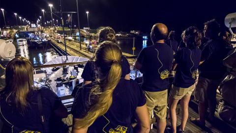
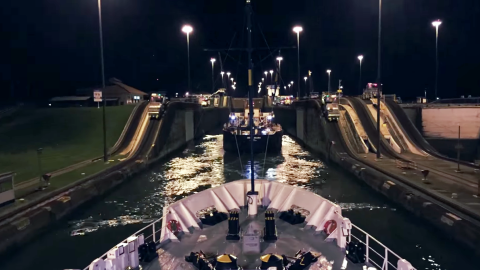
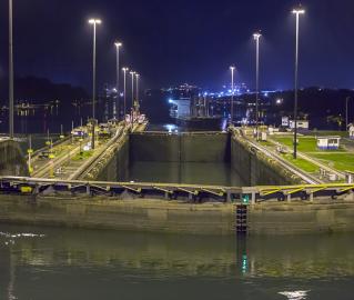
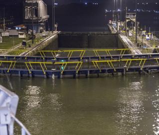
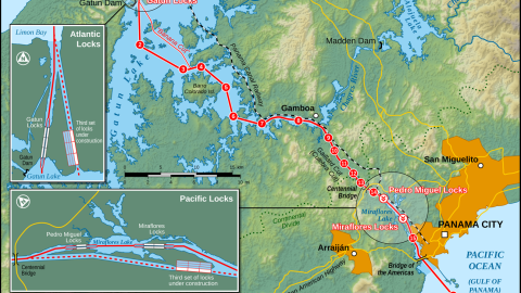
Following our work in the Gulf of Mexico, the E/V Nautilus will transit from Galveston, TX to Panama and then transit through the Panama Canal, a historic crossing that signals the entry of Nautilus to its future work in the East Pacific region. The Panama Canal officially opened on August 15, 1914, one of the largest and most difficult engineering projects ever undertaken. The shorter, faster, and safer route to the U.S. West Coast and to nations in and around the Pacific Ocean allowed those places to become more integrated with the world economy.
After crossing the Panama Canal, the E/V Nautilus will transit to the Galapagos Islands. This transit will include a mapping survey at the site in the Galapagos Rift at 86°W where hydrothermal vents and chemosynthetic organisms were first discovered. The US Navy first mapped the area in 1976 with their brand new mapping technology, the Sonar Array Sounding System (SASS) on the USS Bowditch. The maps made by this formerly classified, cutting-edge technology (and a precursor to modern multibeam mapping systems), led scientists to one of the most revolutionary discoveries in science-- chemosynthetic life-forms. Their 12 kHz system produced 60 discrete depth points. By comparison the Nautilus multibeam echosounder, a 30 kHz system, can collect up to 864 soundings per ping and create far more detailed maps of the seafloor. In 2011 the NOAA ship Okeanos Explorer remapped the vent site and found evidence of other unexplored vents, which Nautilus may visit on a following cruise leg. We will compare the original 1976 map, 2011 Okeanos map, and the new data to see what changes have occurred in the spreading axis over the last 38 years.