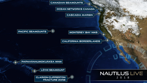
The expedition is primarily a transit mapping leg from Honolulu to San Francisco, as the E/V Nautilus’ operations move back east from the Hawaiian Archipelago to the US West Coast. The initial phase of the transit has been planned to transit southeast from Honolulu to map a section in the Clarion Clipperton Fracture Zone (CCFZ) that is adjacent to areas designated for seabed mining of polymetallic nodules under the International Seabed Authority. The remainder of the transit route is planned to utilize the multibeam echosounder and sub-bottom profiler to fill in gaps in seabed mapping coverage across the Pacific.
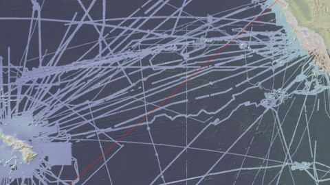
Systematic mapping of the seafloor by echosounder commenced nearly a century ago, however, more than 80% of the world’s seafloor is still not mapped, and the eastern Pacific Ocean is no exception. E/V Nautilus is equipped with a multibeam sonar and sub-bottom echosounder to collect bathymetric, surface sediment characteristic, subsurface geology and water column data. These types of seafloor mapping data are useful for identifying areas or features of interest, creating bathymetric charts for ROV dive planning and situational awareness, and locating hydrothermal vents and gas or oil seeps.
Sponsored by: NOAA Office of Exploration and Research