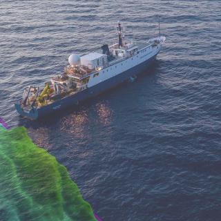
Introducing the New EM304 Mapping Sonar on E/V Nautilus
In 2026, E/V Nautilus sails with a brand new KONGSBERG EM304 MKII multibeam sonar system that will expand our mapping and exploration capabilities to go deeper than ever before! The EM304 is optimized for the depths and features we tend to explore, such as complex canyons, seamounts, ridges, trenches, seafloor spreading centers, abyssal plains, and subsea volcanoes. The new EM 304 will substantially increase OET’s ability to gather data from deep seafloor environments and effectively double the area E/V Nautilus was able to map previously, halving survey times and reducing the costs of mapping in remote areas. This technology investment allows the OET team to map and reveal these amazing features in great detail and sets us up for success for further exploration using our ROVs and other assets.
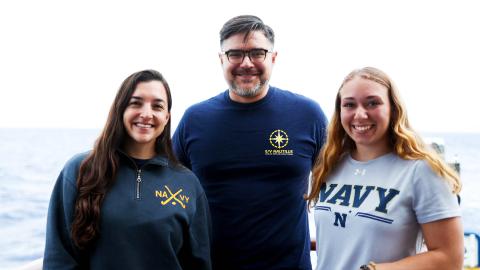
This essential upgrade was made possible by a grant from the U.S. Office of Naval Research awarded to the University of New Hampshire’s Center for Coastal and Ocean Mapping (UNH/CCOM) and implemented in partnership with the sonar manufacturer KONGSBERG Discovery. Through this partnership, Ocean Exploration Trust uniquely positions E/V Nautilus as a field platform that enables academic, industry, and private partners to advance ocean mapping software and to provide hands-on training for early-career scientists. Learn more from Mapping Operations Manager Dr. Derek Sowers in this update!
Pacific Mapping
Our first expedition of the 2026 season is a seafloor mapping expedition from Hawaiʻi to Guam, where E/V Nautilus will support subsequent expeditions exploring deep-sea habitats around the Mariana Islands.
Related Content