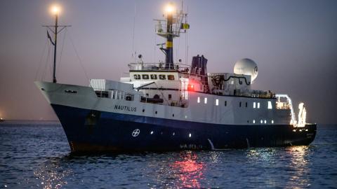
Our 2020 expedition season will culminate in a mapping expedition as we fill in coverage gaps located within the U.S Exclusive Economic Zone (EEZ) off the coast of southern California.
Systematic mapping of the seafloor by echosounder commenced nearly a century ago, however, more than 80% of the world’s seafloor remains unmapped -- and the eastern Pacific Ocean is no exception. An analysis published in January 2020 showed that nearly one-quarter of the Pacific EEZ off the Washington, Oregon and California coasts has yet to be mapped. Mapping on this expedition will contribute directly to filling these gaps in the U.S. EEZ and also aligns with the goals of Seabed 2030, a global initiative to explore uncharted ocean areas.
All of the seafloor mapping will be conducted with both multibeam sonar and sub-bottom profiler systems. The purpose of these surveying efforts is to provide modern bathymetric data with backscatter and to collect water column data to detect potential methane or hydrothermal seeps. The National Geographic Society Deepwater Drop-Cam will also be deployed for seabed video and benthic observations.
