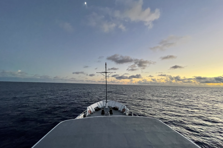
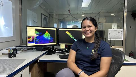
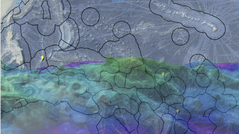
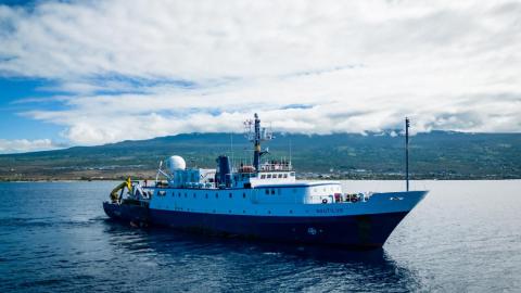
Howland and Baker Islands lie just north of the equator, about 1,800 miles southwest of Hawaiʻi. The islands are low-lying, sandy coral islands ringed by narrow fringing reefs and surrounded by the deep ocean. The US exclusive economic zone around Howland and Baker represents one of the least explored regions under US jurisdiction. This expedition will use the mapping capabilities of E/V Nautilus to acquire high-resolution bathymetry in areas where no or little mapping data exists. Crossing the International Date Line, the team will prioritize seamounts, guyots, ridges, and margins around atolls and islands, supporting priorities of Seabed 2030 and the US National Strategy for Mapping, Exploration, and Characterization. This 26-day expedition begins in Pago Pago, American Samoa, and concludes in Koror, Palau.
Seafloor mapping data is foundational to understanding the region, which is protected within 50 miles of the islands within the Pacific Remote Islands Marine National Monument (PRIMNM). PRIMNM is one of the largest marine conservation areas in the world and was designated in 2009 to protect coral reefs, seamounts, and marine ecosystems from commercial fishing and other extraction activities, such as seafloor mining. Specific cruise objectives will continue to be refined as we work with community and scientific partners.
This expedition is funded by NOAA Ocean Exploration via the Ocean Exploration Cooperative Institute.
