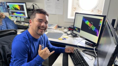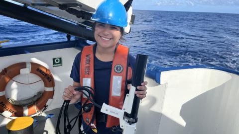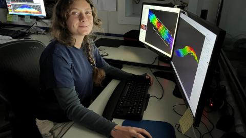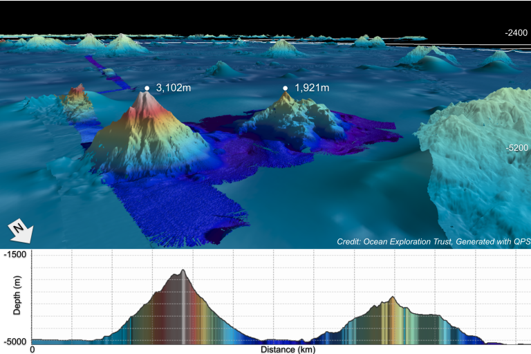

During this expedition, E/V Nautilus explores the waters offshore Howland & Baker Islands. Located roughly midway between Hawaiʻi and New Zealand in the Central Pacific Ocean, the islands of Howland and Baker are some of the most isolated land masses on Earth. While there have been some scientific expeditions to this remote region, the vast majority of the 425,700 square kilometers of seafloor surrounding Howland and Baker remain unmapped, and represent one of the most poorly surveyed areas under US jurisdiction. This 22-day expedition will use the deep-water mapping capabilities of E/V Nautilus to map previously unsurveyed seafloor in the US Exclusive Economic Zone around Howland and Baker, as well as other unmapped areas along the transit route between the Marshall Islands and the Cook Islands. In addition to continuous seafloor mapping operations, the expedition will also include daytime seabird surveys from the observation deck on E/V Nautilus.
This expedition is funded by NOAA Ocean Exploration via the Ocean Exploration Cooperative Institute.