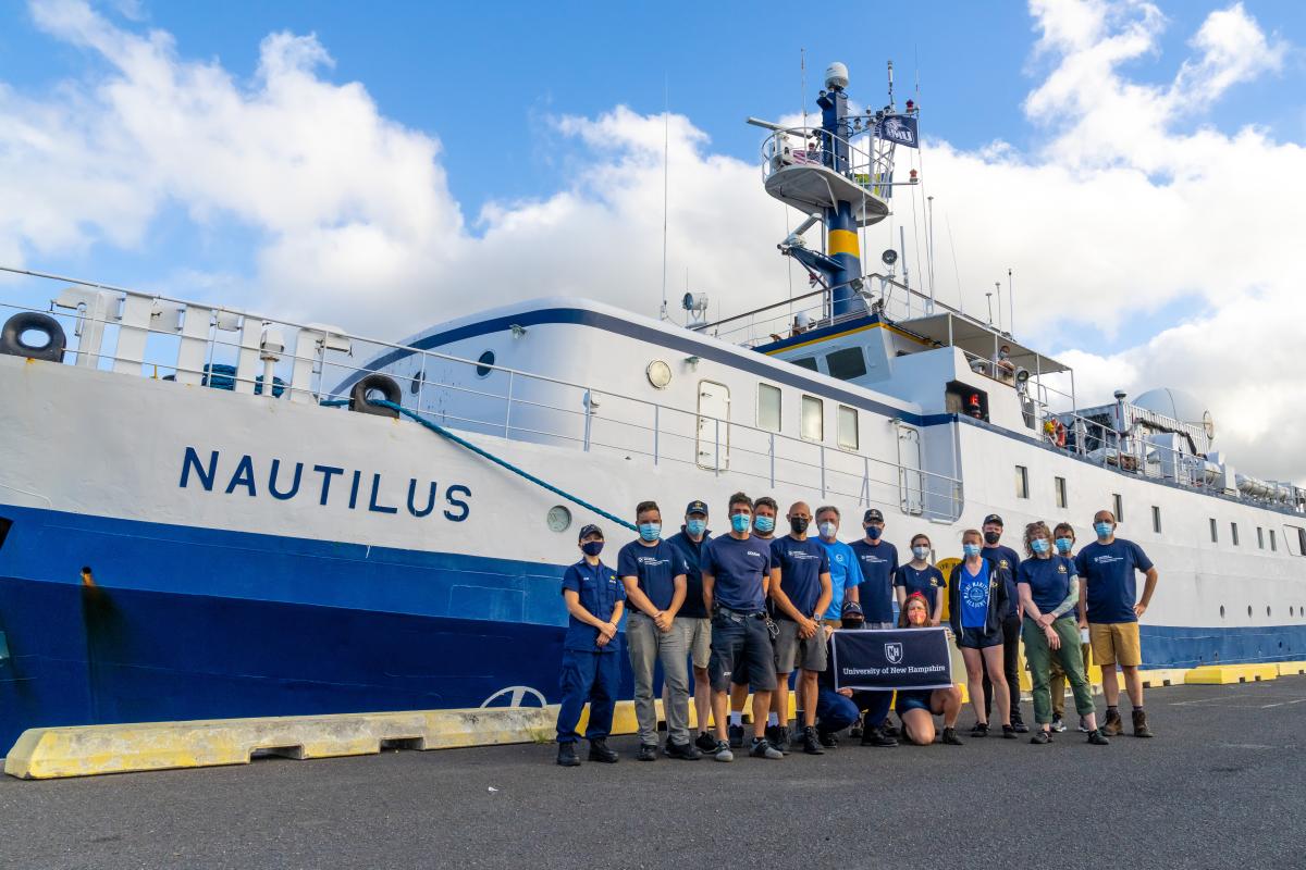
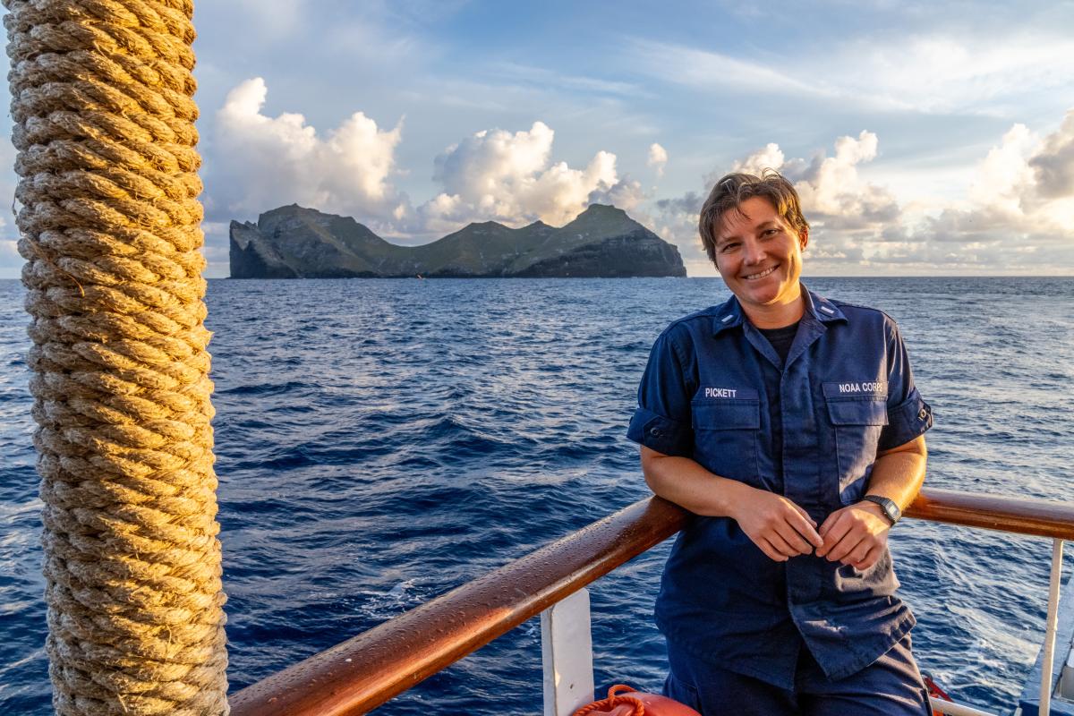
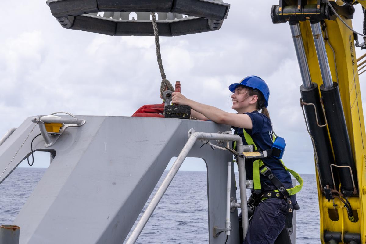
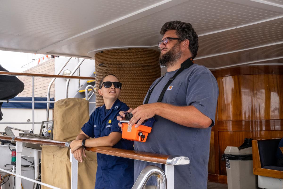
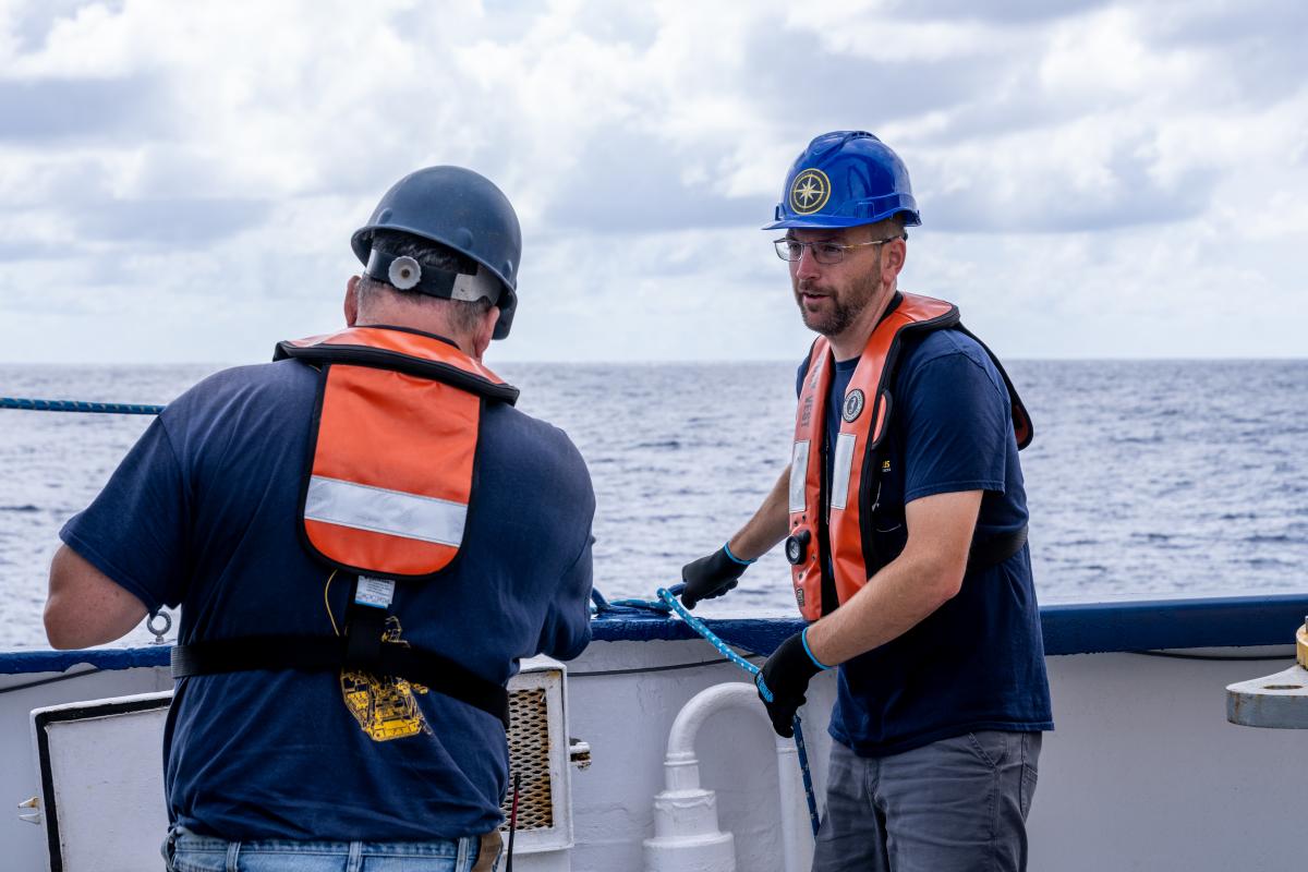
A Collective Effort: Highlighting the People Behind the Science
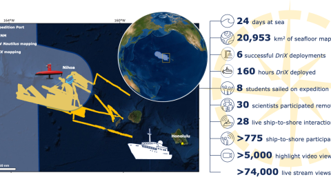
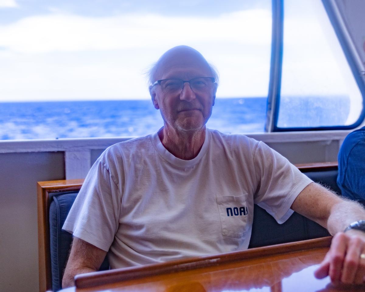
Just as it takes many roles, backgrounds, and expertise to ensure the success of an expedition, sometimes it also takes a wide variety of organizations and stakeholders to pull a successful cruise together. Over the course of 24 days, science team members participating in the Luʻuaeaahikiikawawāapalaoa: Dual-Technology Seafloor Mapping expedition represented several institutions and agencies, including the Ocean Exploration Cooperative Institute (OECI), the NOAA Office of Coast Survey, the University of New Hampshire (UNH), and the UNH Joint Coastal and Ocean Mapping and Hydrographic Center (JHCCOM).
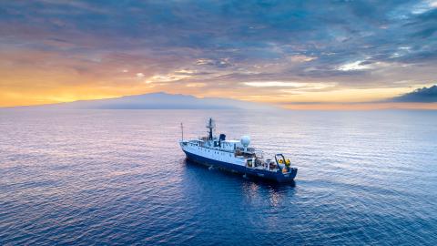
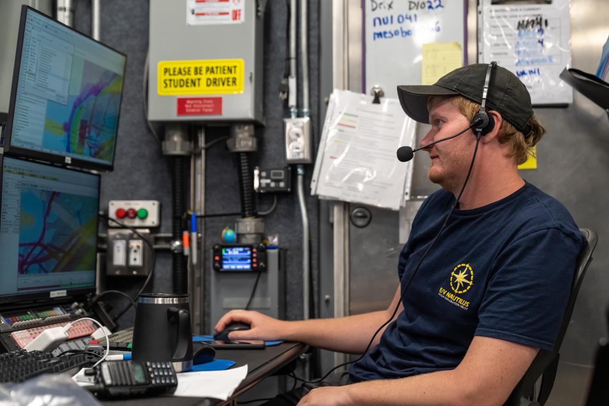
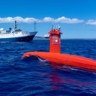
While E/V Nautilus often prioritizes strategic deep-water areas for mapping initiatives, this expedition focused on high-resolution mapping areas of Papahānaumokuākea Marine National Monument (PMNM) currently lacking data using ship-based mapping surveys in deep waters as well as deploying the uncrewed surface vessel DriX for nearshore mapping.
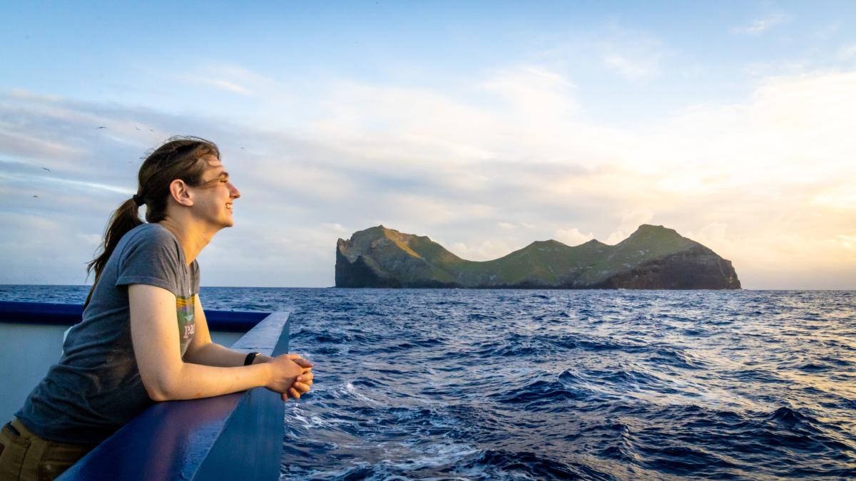
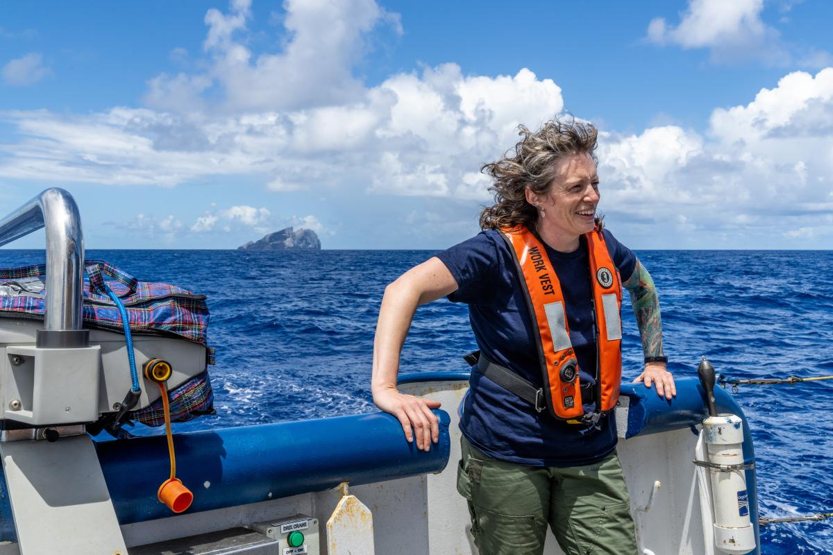
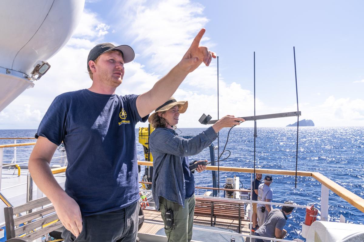
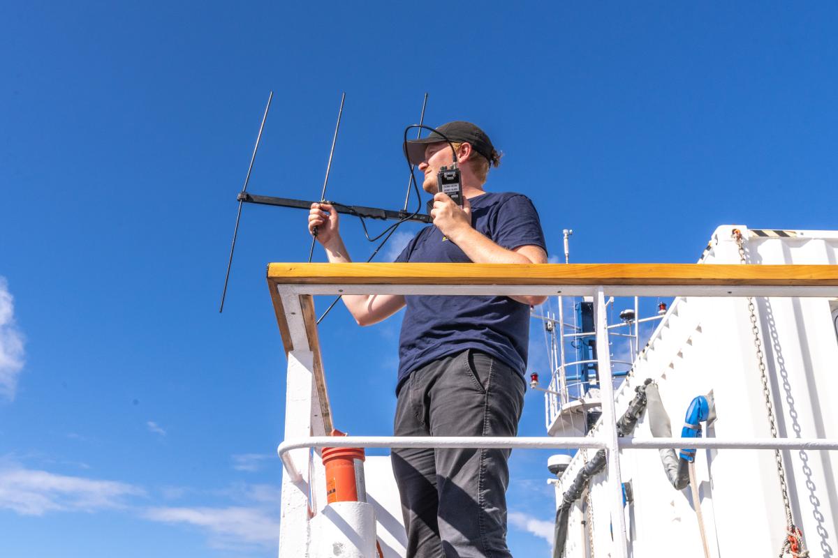
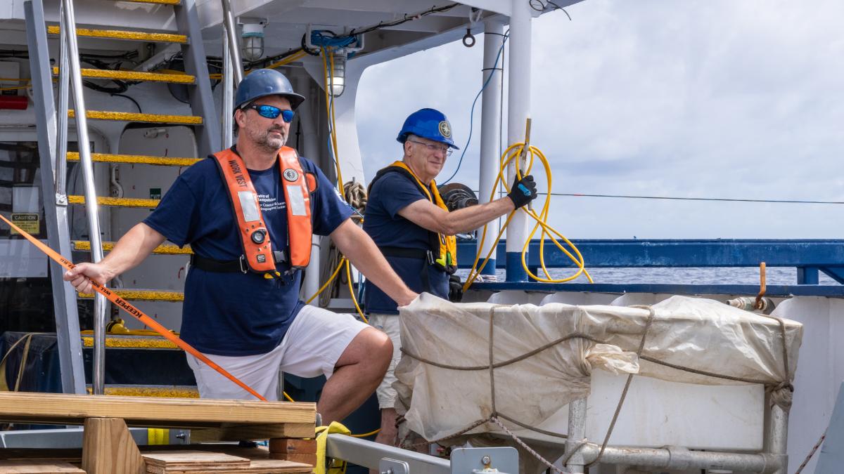
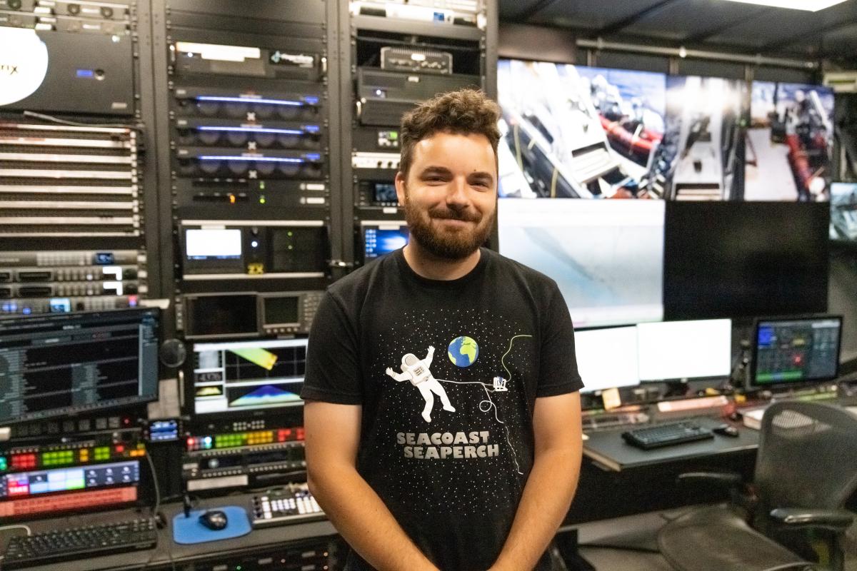
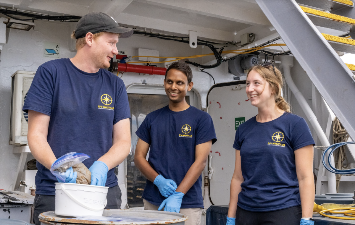
Accomplishing these ambitious goals required that mapping and navigation teams aboard Nautilus operated in deep-water regions alongside, and sometimes in parallel, with the UNH DriX team to prioritize filling in gaps in bathymetric data. To highlight our partnership with UNH and the testing of this novel technology, we’ve put together the below album to help you get acquainted with the scientists, engineers, mappers, and navigators who helped contribute to the success of the expedition.
Written by Madison Dapcevich, Katie Doyle, and Brandon Rodriguez. Image credit Ocean Exploration Trust, shot by Dan Foley.

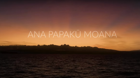
Luʻuaeaahikiikawawāapalaoa: Dual-Technology Seafloor Mapping
This expedition focuses on high-resolution mapping areas of Papahānaumokuākea Marine National Monument (PMNM) currently lacking data using ship-based mapping surveys in deep waters as well as deploying the uncrewed surface vessel DriX for nearshore mapping.