


Recent Highlights
Recent Posts

Credit
Ocean Exploration Trust
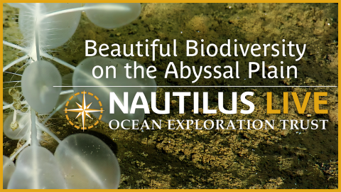
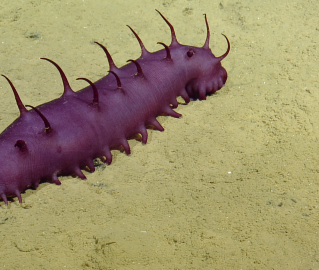
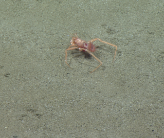
Have you enjoyed our exploration of the abyssal plain with ROV Little Hercules? If so, you're in luck! Part two of our exploration of the Mariana deep sea will almost exclusively focus on this mysterious habitat. Abyssal plains are predominantly flat and heavily sedimented seafloor areas that cover ocean basins at depths between 3,000 and 6,000 meters. These widespread areas cover more than 70% of the global seafloor and 50% of the Earth’s surface, thereby representing by far the largest and least explored portions of our planet.
ROV surveys on abyssal plain habitats this summer will continue to use E/V Nautilus’ dual-body ROV system consisting of ROV Little Hercules and towsled ROV Atalanta. These dives will focus on surveying areas east of the Mariana Trench at depths between 4,500 and 5,800 meters. Survey sites will be chosen that are close to those surveyed by AUV Sentry. Stay tuned for more adventure!