Activity or Mini-Lesson
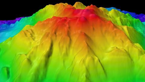
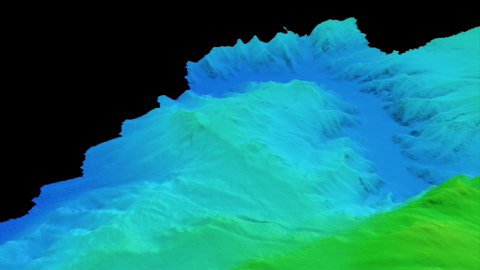
Shapes Of The Seafloor

Credit
Ocean Exploration Trust
Using the 5E method (Engage, Explore, Explain, Extend, Evaluate) students will gain an understanding of why seafloor mapping is a valuable tool in ocean exploration. With Play-Doh and shoe boxes, students will create their own simulated seafloor and use skewers to measure various depths to resemble what an ocean floor would look like. This unit connects well to learning topographic maps and landforms.
Objectives & learning outcomes
The student will:
- explore modern mapping tools that reveal ocean floor shapes and why seafloor mapping is important to ocean exploration;
- gain an understanding of topographic maps and build their own topographic map;
- relate the concepts of sonar and animal echolocation.
Grade level
Grade level
Time & materials
Time & materials
Prep time involves some setup of materials & low-cost supplies.
Documents
Author
Find more resources
Grade level
Resource type
Themes
Topics
Related content
Blog:
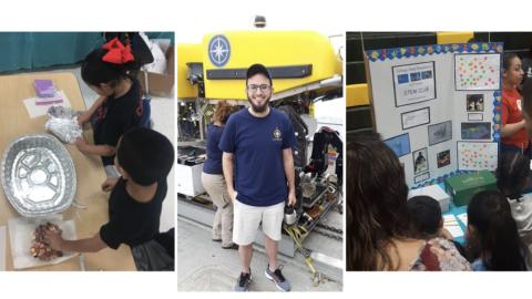
Elementary STEM Club Activity Series
Blog:
Read the Rainbow: Seafloor Mapping Glossary
Teaching Animation or Graphic: