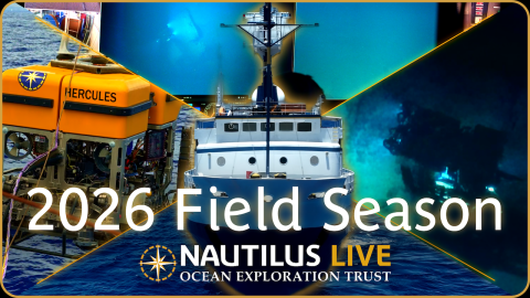
Ocean Exploration Trust and the Nautilus Exploration Program seek out new discoveries in geology, biology, and archaeology while conducting scientific exploration of the seafloor. Our expeditions launch aboard Exploration Vessel Nautilus — a 68-meter research ship equipped with live-streaming underwater vehicles for scientists, students, and the public to explore the deep sea from anywhere in the world. We embed educators and interns in our expeditions who share their hands-on experiences via ship-to-shore connections with the next generation. Even while we are not at sea, explorers can dive into Nautilus Live to learn more about our expeditions, find educational resources, and marvel at new encounters.
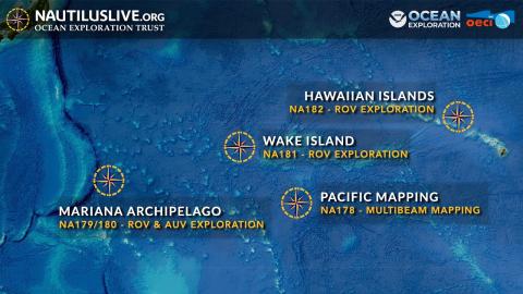
Explore our latest expedition.
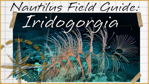
Revisit our favorite deep-sea encounters.
Explore the ocean from your home or classroom.