OET Sets Sail to Map and Explore Palau's Midwater

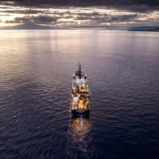
On November 25, 2024, OET sets sail on our NA169 expedition to map and explore ocean habitats around the Palauan Islands. Following two E/V Nautilus expeditions focused on exploring the deep sea in the Palau National Marine Sanctuary, this 17-day expedition will center on surveying the oceanography and current flow around the Palauan Islands, and how this affects both near and offshore ecosystems, including those within the Palau National Marine Sanctuary. For this purpose, the team will deploy a fleet of robots from the Scripps Institution of Oceanography, including wave gliders, buoyancy gliders, autonomous surface vehicles, and vertical profilers.
“While Palau is celebrated worldwide for its extraordinary marine biodiversity, very little is known about its deep ocean. Today, less than 30% of Palau’s seafloor has been mapped to high resolution. This expedition will help expand the knowledge about the biodiversity and oceanography surrounding Palau’s vast oceans,” says Dr. Daniel Wagner, OET’s Chief Scientist.
The expedition team will include local scientists from Palau’s Coral Reef Research Foundation and researchers from the Scripps Institution of Oceanography, along with educators, engineers, scientists, and mariners from OET’s International Corps of Exploration. Together, they will investigate the complex ocean dynamics created by major ocean currents interacting with Palau’s steep island slopes. These interactions generate intricate circulation patterns that bring nutrient-rich deep water to the surface, driving high biological productivity essential to the health of Palau’s marine ecosystems. Additionally, the expedition will map the seafloor within the Palau National Marine Sanctuary and conduct targeted remotely operated vehicle (ROV) surveys at biologically and oceanographically significant sites around the Palauan Islands.
The expedition is the third one funded by NOAA Ocean Exploration via the Ocean Exploration Cooperative Institute as a contribution to the US government commitment made at the 7th Our Oceans Conference to support ocean mapping of the Palau National Marine Sanctuary. These expeditions have already mapped over 19,052 square kilometers of Palau’s ocean, an area that is 42 times larger than all of the Palauan Islands combined. Scripps' participation in this expedition and use of advanced robotic ocean sensing tools is a result of the generous support of the Office of Naval Research. Further expeditions aboard NOAA Ship Okeanos Explorer in 2025 will continue advancing the US government's commitment to map Palau’s oceans.
“Working with the people of Palau to map and explore their waters is a tremendous privilege. I'm grateful that Ocean Exploration Trust extended E/V Nautilus' time in the area this field season to allow more science to occur with additional partners,” says NOAA Ocean Exploration Director Jeremy Weirich.
By gathering data from poorly known marine habitats around Palau, this expedition (NA169) will contribute to Seabed 2030, the UN Decade of Ocean Science for Sustainable Development, the Palau National Marine Sanctuary Science and Monitoring Strategy, the Beyond the Blue: Illuminating the Pacific campaign, as well as long-standing collaborations between the US and Palau on pursuing basic science, protecting fisheries and the environment, and strengthening regional security.
The Scripps team will advance understanding of the complex oceanographic processes around Palau to address critical ecological and environmental management needs. By leveraging fine-scale biological and physical oceanographic measurements, seabed mapping, and ROV surveys, the team will study the underexplored “island mass effect” and assess the effects of island-induced currents, internal waves, and typhoons on thermal structures and productivity.
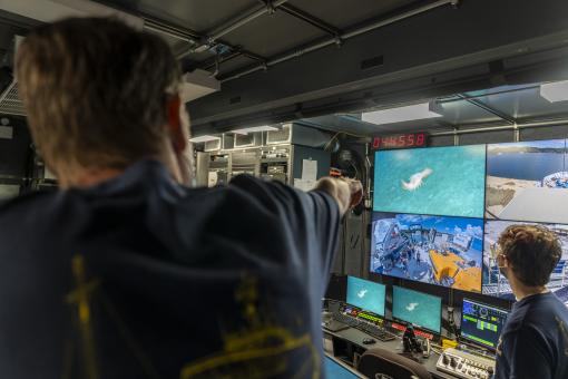
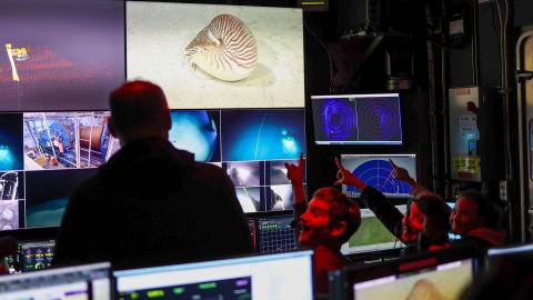
In addition to scientific exploration, the expedition will use live streaming, telepresence technology, social media, and OET’s robust educational outreach programs to engage broad audiences across Palau and the Pacific Island Region. Everyone can join the expedition via NautilusLive.org, a 24-hour live-streaming web portal bringing deep sea footage and the excitement of discovery from the field to everyone with an Internet connection. Schools and community groups are encouraged to schedule free, live one-on-one Q&A sessions with explorers on the ship.
Ocean Exploration Trust is a nonprofit founded by Dr. Robert Ballard with the mission of exploring unknown parts of our ocean, seeking out new discoveries while pushing the boundaries of STEAM education and technological innovation. Throughout its 16-year history, OET has mapped close to 1.2 million square kilometers of seafloor and conducted over 1,000 successful remotely operated vehicle dives that have explored ocean habitats in over 40 nations, generating large volumes of data in support of conservation and resource management.

Mapping and Water Column Exploration Offshore Palau
Following two E/V Nautilus expeditions focused on exploring the deep sea in the Palau National Marine Sanctuary, this 17-day expedition will center on surveying the oceanography and current flow around the Palauan Islands, and how this affects both near and offshore ecosystems, including those within the Palau National Marine Sanctuary.


