STEM Learning Module
Building Underwater Features Using Sonar Mapping

Credit
Ocean Exploration Trust
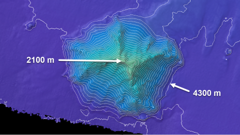
Scientists and engineers interested in mapping the ocean floor use many tools and methods. Two of these methods include sonar (sound detection and ranging) and lidar (light detection and ranging). Students will analyze simulated sonar data to map surface elevations on a grid. Next, they determine what kind of surface feature is displayed by the data. Students then build a physical model representing their data.
Objectives & learning outcomes
- Students will be able to read and interpret maps showing different topography
- Students will be able to construct different undersea features and communicate their physical characteristics
Disciplinary Core Ideas
Disciplinary Core Ideas
Grade level
Grade level
Time & materials
Time & materials
Prep time involves some setup of materials & low-cost supplies.
Documents
Author
Find more resources
Grade level
Resource type
Themes
Topics
Disciplinary Core Ideas
Related content
STEM Learning Module: