Decorated Photographs of the Seascape on NA176
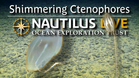
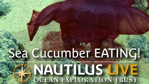
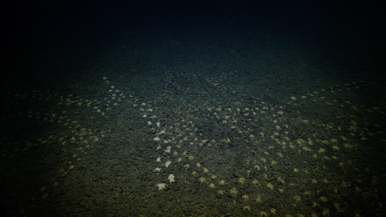
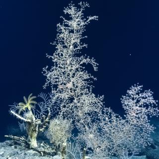
As the ROVs flew up seamounts’ walls, hovered across fields of abyssal nodules, and peeked into crevices, we visited different seascapes of the Cook Islands’ deep sea.
An important first step in exploring somewhere that’s never been visited before is to conduct multi-beam bathymetry surveys to create a high-resolution maps that our navigation specialist will use to guide us throughout the dives. This data is collected by emitting multiple acoustic beams in a fan-shaped pattern down beneath the ship and measuring the time it takes for these sounds to return, calculating the distance to the seafloor. Not only did we use this technology to decipher the depth, but the same survey can also measure the backscatter. This dataset measures the reflectivity of the seafloor, which can be analyzed to assess rocky or sedimented areas. Before we go diving, we combine the multibeam bathymetry, backscatter, and temperature and salinity measurements to gain a more accurate sense of the landscapes we will be encountering.
We therefore were able to roughly predict what we would see, but only so much can be known while still on the surface, so our Remotely Operated Vehicle (ROV), Little Hercules, had to go seek it out firsthand on the seafloor. During the NA176 expedition, we spent over 148 hours on the seafloor. The team surveyed a range of different geological substrates, including manganese nodule fields, sedimented seafloor, and manganese crusts deposited on the slopes of seamounts. This album showcases some of the varying seafloor landscapes seen during our exploration.


Deep-Sea Habitats of the Cook Islands
This 21-day expedition will utilize the ROV, mapping, and telepresence systems of E/V Nautilus to explore previously unsurveyed deep-sea priority areas identified by the management and science community in the Cook Islands.