Understanding Ocean Mixing with Argo Floats
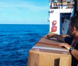
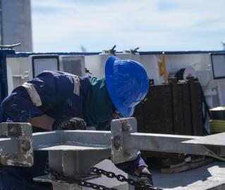
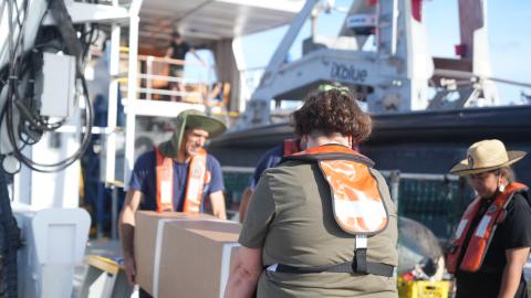
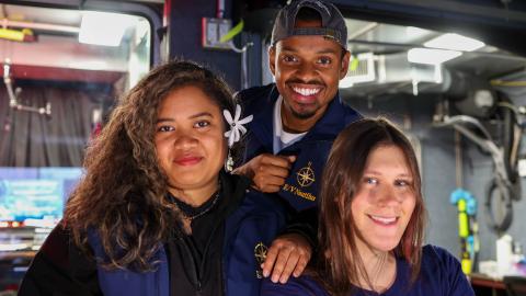
While we map, we always look for opportunities to use E/V Nautilus as a platform to support science operations and provide access to the worldwide ocean. During our NA172 expedition in the Western Pacific, E/V Nautilus welcomed aboard Scripps Institution of Oceanography‘s Melissa Miller to oversee the deployment of various Argo floats. As part of the GO-BGC and SOCCOM programs, these biogeochemical sensors join the larger Argo network, which comprises over 4,000 floats equipped with sensors that help monitor global ocean health. The floats measure temperature, salinity, dissolved oxygen, pH, nitrate, and chlorophyll data, which are stored in an open-access database used by scientists worldwide.
Argo float map animation by Howard Freeland
Additional animations and photos courtesy of the Southern Ocean Carbon and Climate Observations and Modeling (SOCCOM) Project
For more information: soccom.org/broader-impacts/graphics
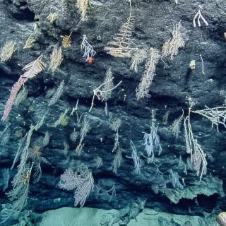
Exploring the Offshore Marianas
Update: Ongoing mechanical repair of a ship system has changed operational plans for the NA172 expedition, postponing the water column exploration and remotely operated vehicles portion of this expedition within the Mariana Trench Marine National Monument.