First Look at the Luʻuaeahikiikekualonokai Expedition
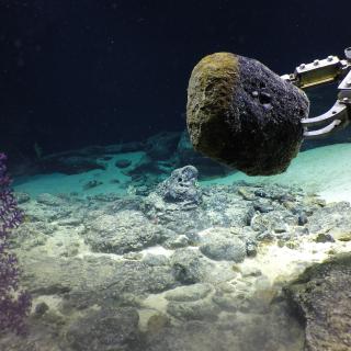
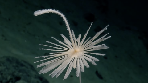
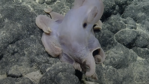
We have an exciting first look for you at our current Luʻuaeahikiikekualonokai expedition! We’re exploring never-before-surveyed seamounts near Chautauqua seamount west of the Hawaiian Islands. This expedition, our final for 2021, will hopefully see our ROVs Hercules and Argus reach 3,800 meters deep! We’ve already been lucky enough to spot a short-finned pilot whale and some amazing seafloor critters like the sea pig aka a deep-sea sea cucumber! Stay tuned for more updates from Nautilus as we explore the deep Pacific.
Chautauqua Seamount and surrounding the unnamed seamount chain comprises seven seamounts measuring between 15 and 25 kilometers wide and rising more than 2 kilometers above the 4-kilometer deep abyssal seafloor. Aside from sparse bathymetric and geophysical surveys, these underwater mountains are unsurveyed by ROVs or high-resolution seafloor mapping. Over the course of 12 days, we will generate high-quality bathymetric maps to identify dive targets as well as conduct ROV dives and collect geological samples for later geochemical analysis. As we have the privilege to sail in this region, we acknowledge generations of indigenous Hawaiians and today’s stewards of these lands and waters.
This expedition is funded by NOAA Ocean Exploration through the Ocean Exploration Cooperative Institute.

Luʻuaeaahikiikekualonokai - Chautauqua Seamounts
Located south of the Hawaiian Islands, Chautauqua Seamount and the un-named seamount chain comprises seven seamounts measuring between 15 and 25 kilometers across and rising more than 2 kilometers from the 4-kilometer deep abyssal seafloor. Aside from sparse bathymetric and geophysical surveys, these underwater mountains are unsurveyed by ROVs or high-resolution seafloor mapping.


