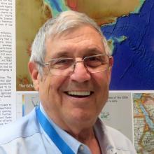
John K Hall
Dr. John K. Hall began his career at WHOI (1962-65) and then did his Ph.D. at Columbia University's Lamont-Doherty Geological Observatory from a drifting ice station in the Arctic Ocean. In 1970 he became the first marine geophysicist in Israel, and retired after 35 years at the Geological Survey of Israel. Following the preparation of a 25 m digital terrain model (DTM) of Israel, he started the Israel National Bahymetric Survey which since 2001 has been using his Kongsberg-Simrad EM1002 multibeam and rented ELAC sonars to map in detail the seas and lakes in and around Israel. He has been very involved in compilation of regional and worldwide bathymetry with almost 30 years of active participation in GEBCO, and as Vice-Chairman of IBCM (International Bathymetric Chart of the Mediterranean) and Chief Editor of the IBCM-II 0.1' grid of the Mediterranean and Black Seas. He is the author of over 150 published articles, reports, books, maps and posters dealing with the regional seas, mapping algorithms, as well as the Arctic. He is the owner of a research hovercraft in Svalbard built to explore the most inaccessible parts of the Alpha Ridge in the Arctic Ocean using marine geophysical and geological tools.
Expeditions
John participated in the following Ocean Exploration Trust expeditions:
