Cruising Coastlines: Mapping With the Autonomous Surface Vehicle
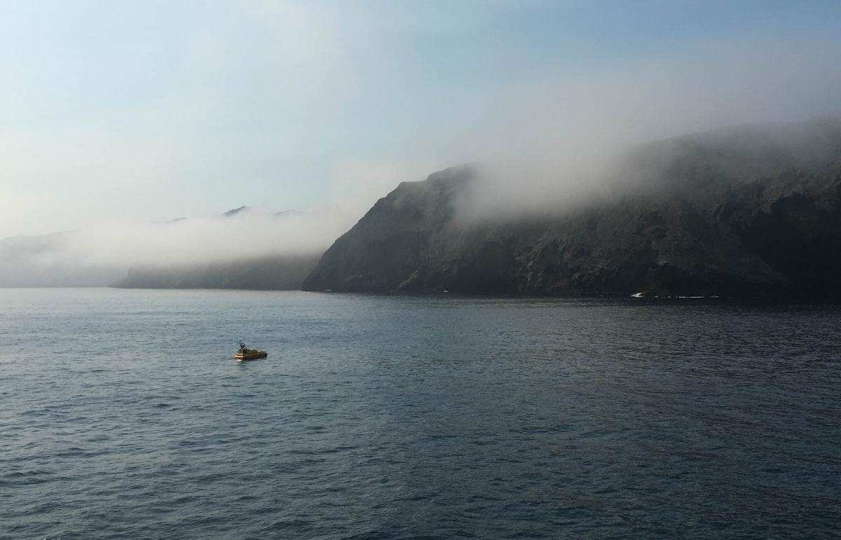
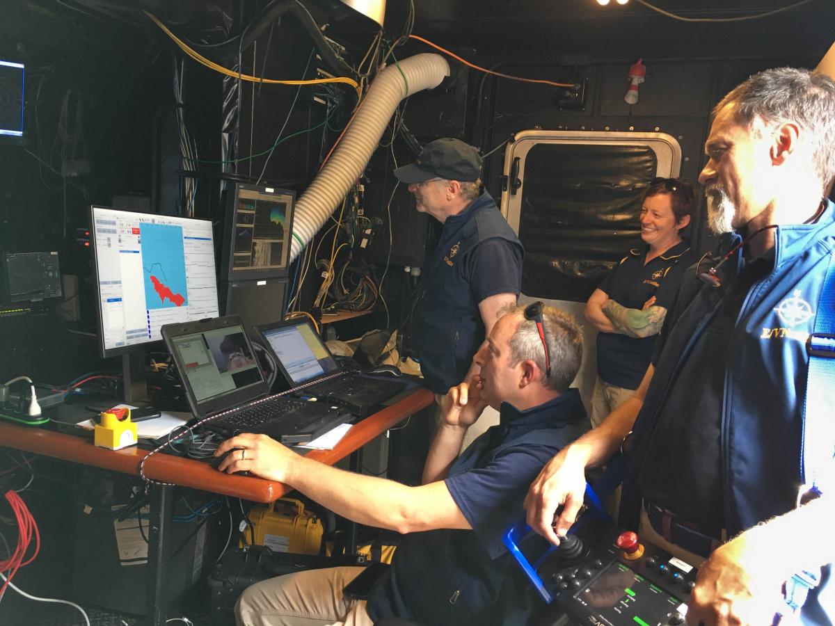
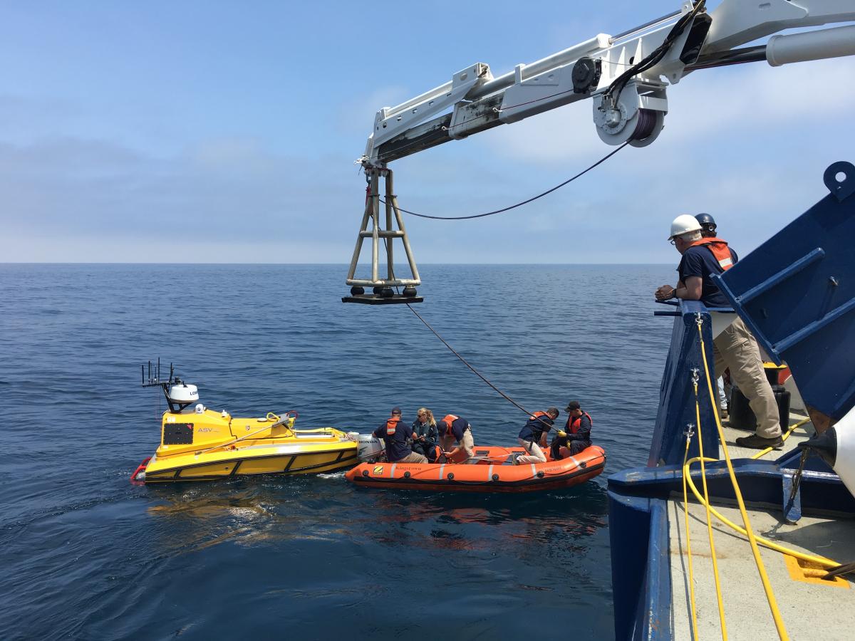
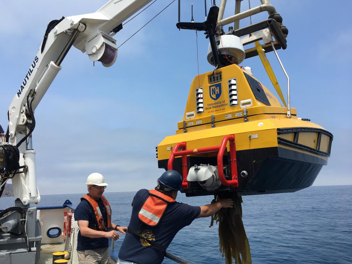
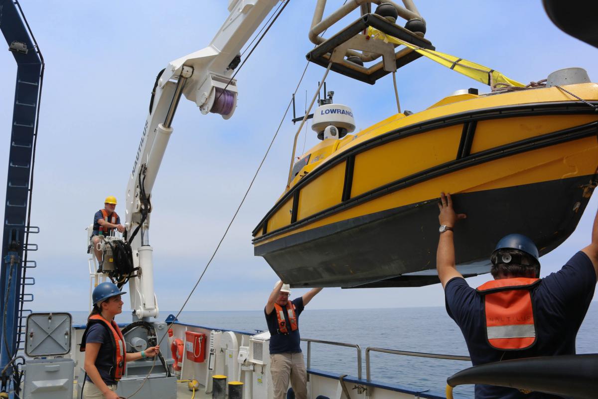
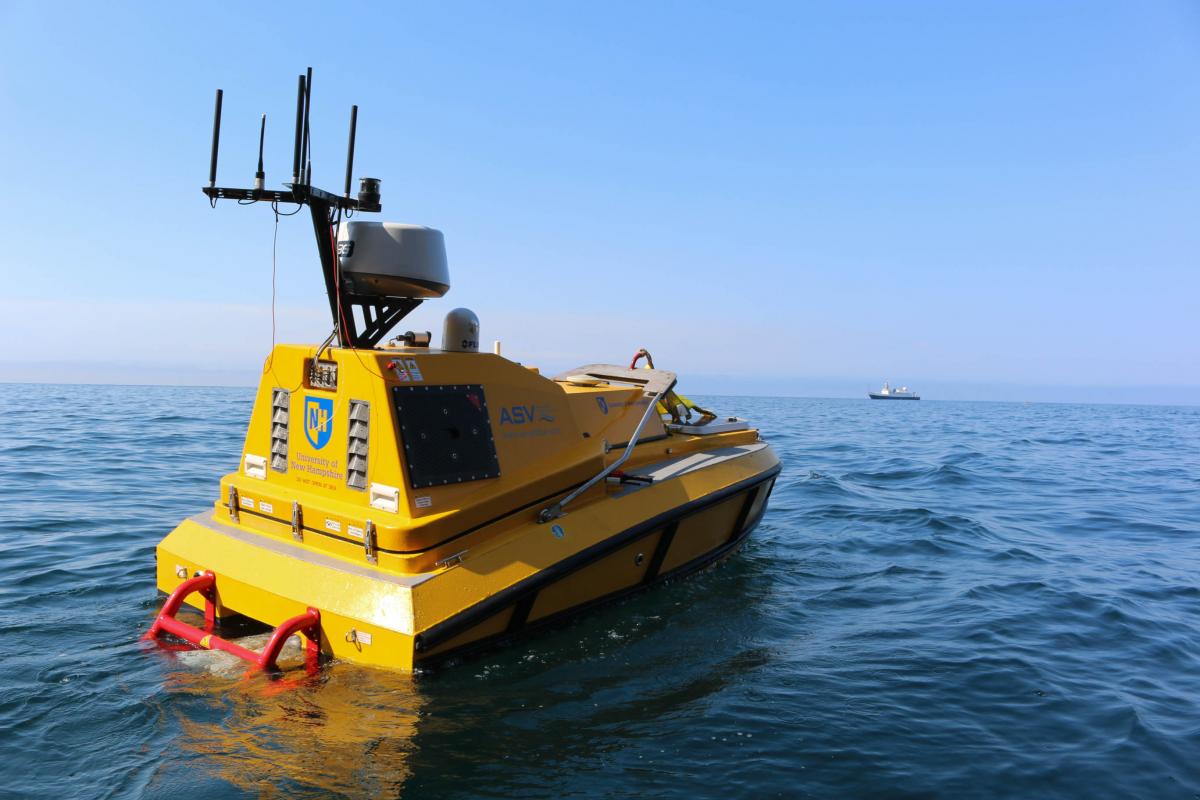
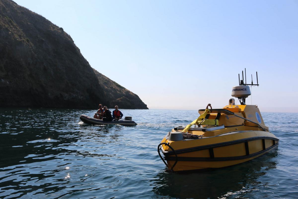
The Autonomous Surface Vehicle (ASV) is a custom prototype that was built for the University of New Hampshire Center for Coastal and Ocean Mapping to create high resolution sonar maps of the seafloor in shallow water. The ASV assisted E/V Nautilus in identifying target ROV dive sites for the Channel Islands National Marine Sanctuary expedition in July 2017 and Submerged Shorelines in the California Borderland in November 2018 to locate and identify submerged ancient shorelines. This diesel-powered vehicle can go for 14-16 hours maximum at a speed of up to 5 knots. Designed for mapping from the draft to 150-200 m, radio frequency communication sends data back to scientists from up to 8 km away. Click through the album to learn more about the capabilities of this unique mapping instrument that is still in development!

Submerged Shorelines of California Borderland
The primary focus of this expedition is the identification and characterization of submerged shorelines associated with offshore banks in the southern California Borderland region. This is a continuation of the effort by Nautilus over the last four years to acquire high-resolution mapping data of submerged shorelines and characterize primarily with remotely operated vehicles.
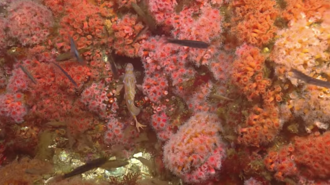
Channel Islands National Marine Sanctuary
The Channel Islands National Marine Sanctuary (CINMS) is one of the agencies tasked with the protection of deep-water habitats, commercially important species, and deep sea coral ecosystems around the islands, yet lacks a detailed understanding of the distribution, abundance, and condition of the resources within the Sanctuary.