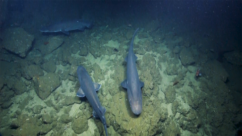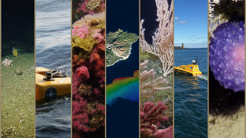

The Channel Islands National Marine Sanctuary (CINMS) is one of the agencies tasked with the protection of deep-water habitats, commercially important species, and deep sea coral ecosystems around the islands, yet lacks a detailed understanding of the distribution, abundance, and condition of the resources within the Sanctuary. Less than 50% of the seafloor within the CINMS boundaries has been mapped by high-resolution sonar, and the 2016 Nautilus expedition to the same region worked to cut this knowledge gap nearly in half.
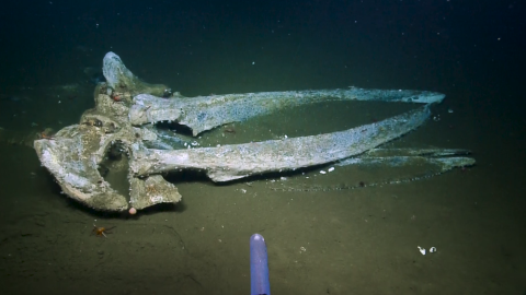
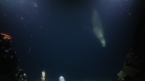
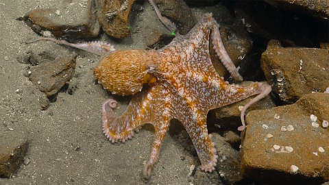
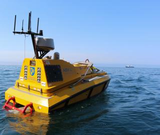
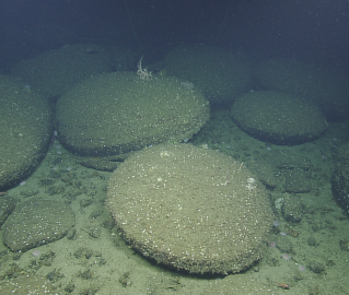
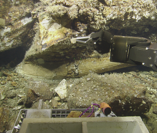
The 2017 expedition will continue this exploration by using a high resolution mapping system to collect sonar bathymetry and sub-bottom profiling data to characterize the seafloor in these unmapped areas. Following mapping operations, Nautilus will utilize ROVs to undertake visual surveys, collect high-definition video imagery, collect biological and geological samples, and ground truth the newly-collected multibeam data.
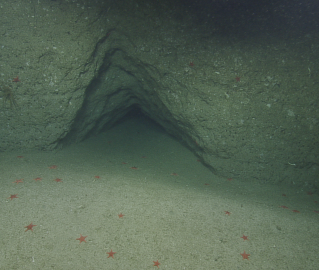
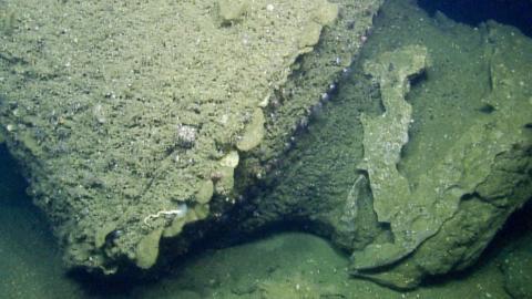
This cruise will also be part of a larger initiative to understand sea level history and locate, map, and document submerged paleo-shorelines in the Channel Islands region. This region has a complex geologic history following its initial volcanic formation, later being shaped by uplift, sinking, and fluctuating sea levels, and resulting in a submerged shoreline of boulders, spires, caves, and arches.
Developing maps of the seafloor and characterizing biological habitat and geological character of the seafloor using ROVs provides detailed information that will help guide CINMS resource protection issues including incident response and restoration, protected resource and fisheries management, navigational safety, and conservation.