Searching for Ancient Submerged Shorelines
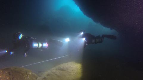
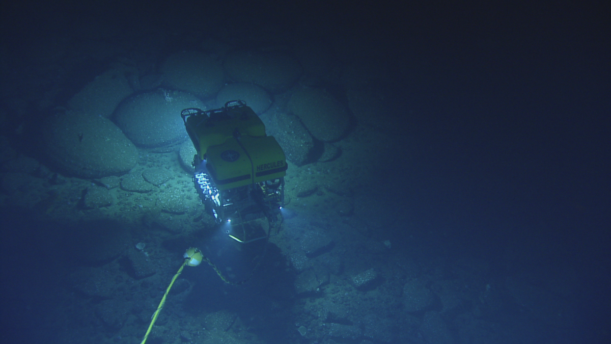
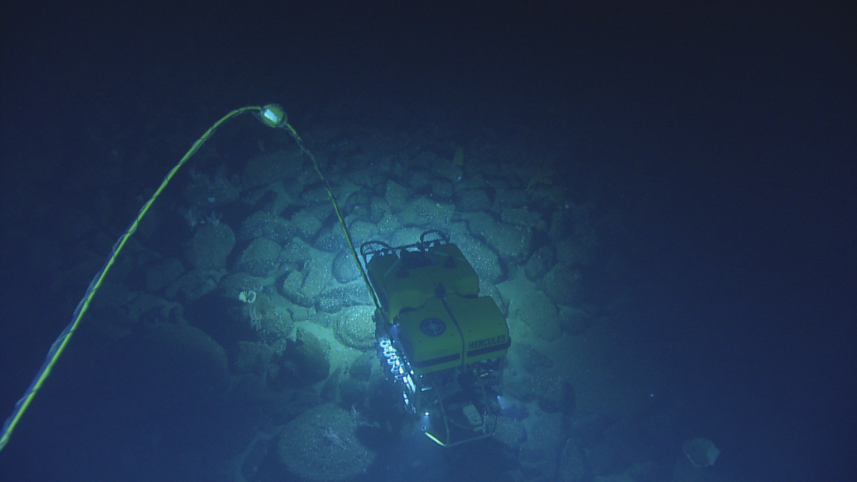
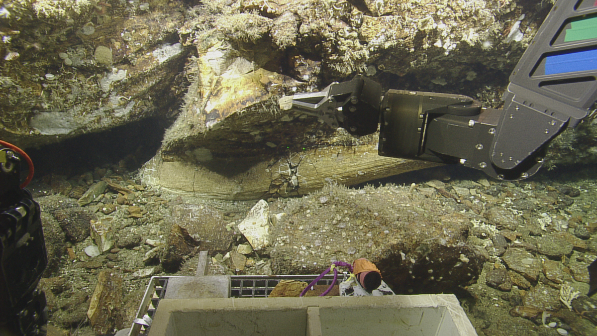
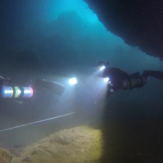
Twenty-thousand years ago, a significant amount of ocean water was bound up in glaciers and sea level was considerably lower than it is now. Stretched off the Southern California coast between Santa Barbara and Los Angeles, the Channel Islands once formed one massive island, separating into several islands as ice sheets melted and sea level rose. The Nautilus team is launching a multi-faceted exploration to locate, map, and document these ancient submerged shorelines using multibeam sonar, ROVs Hercules and Argus, scuba divers, and an Autonomous Surface Vehicle. Learn more about this exploration in this Expedition in 60 Seconds video.
Research partners for this expedition include Channel Islands National Marine Sanctuary, NOAA Office of Exploration and Research and University of New Hampshire-Center for Coastal and Ocean Mapping.
Photo album contributed by Science Communication Fellows Amy Fleischer and Onye Ogene.
Channel Islands National Marine Sanctuary
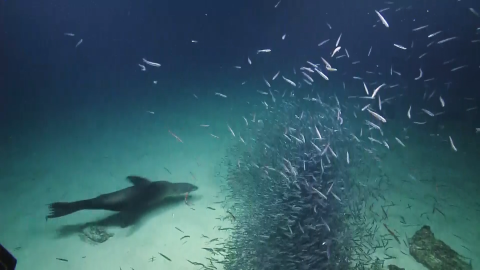
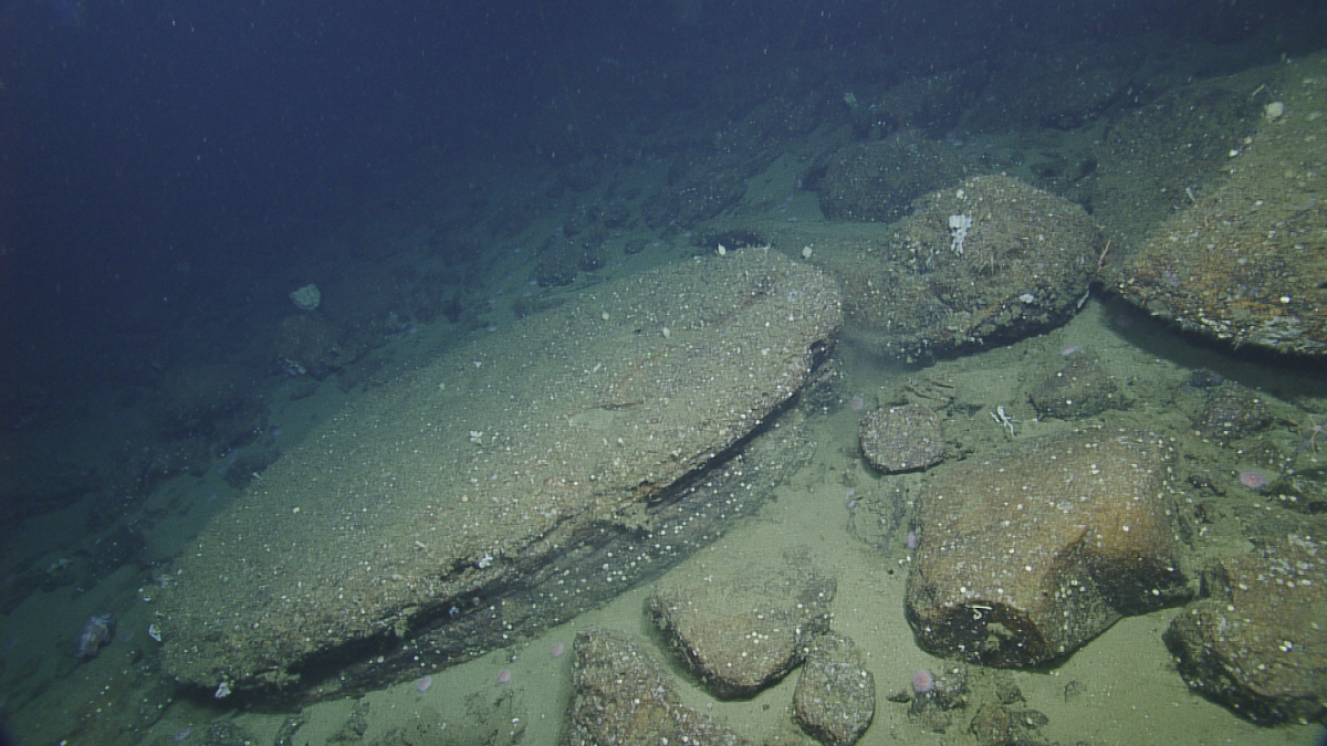
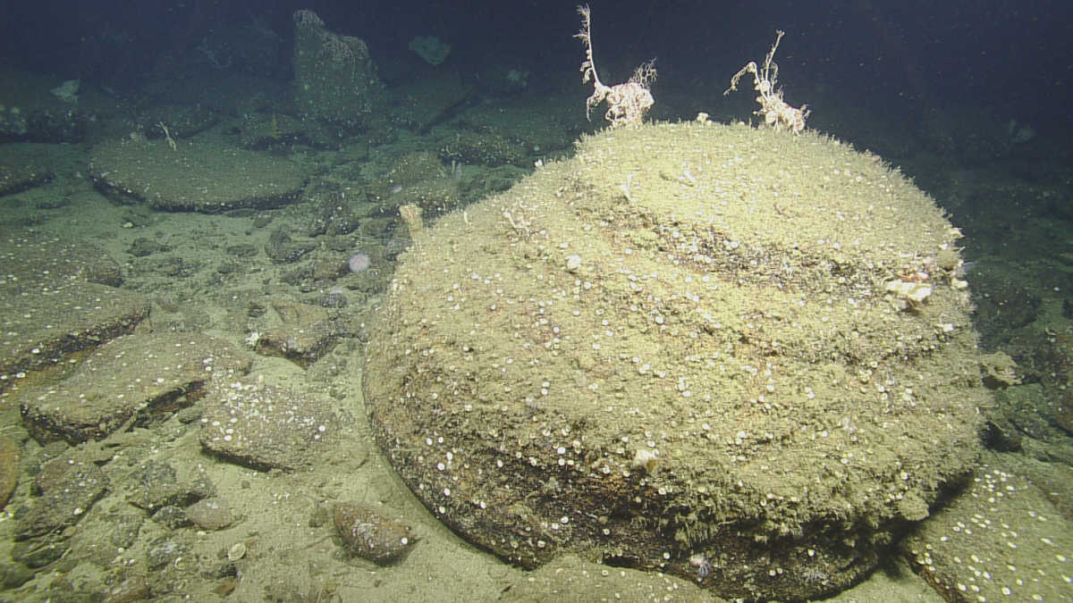
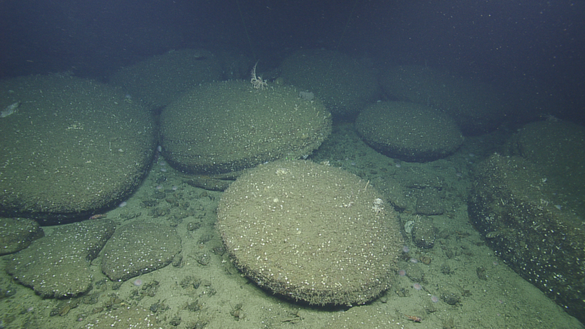
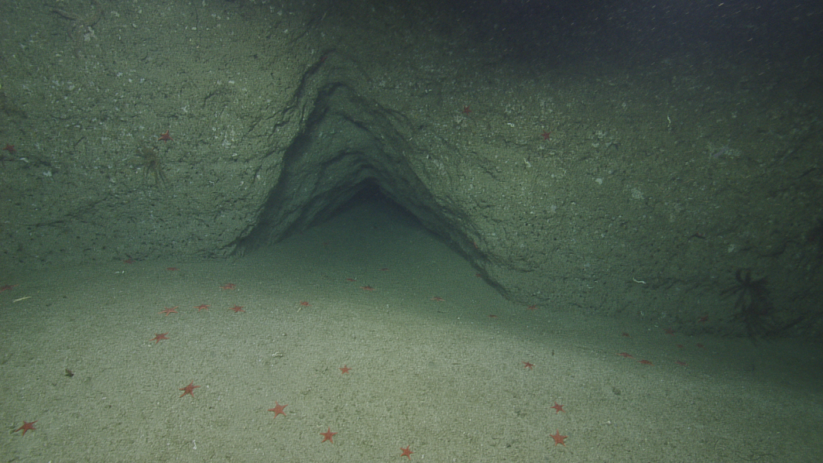
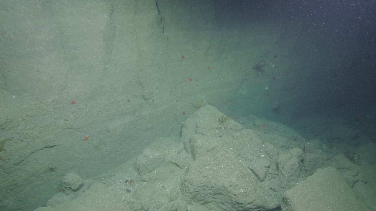
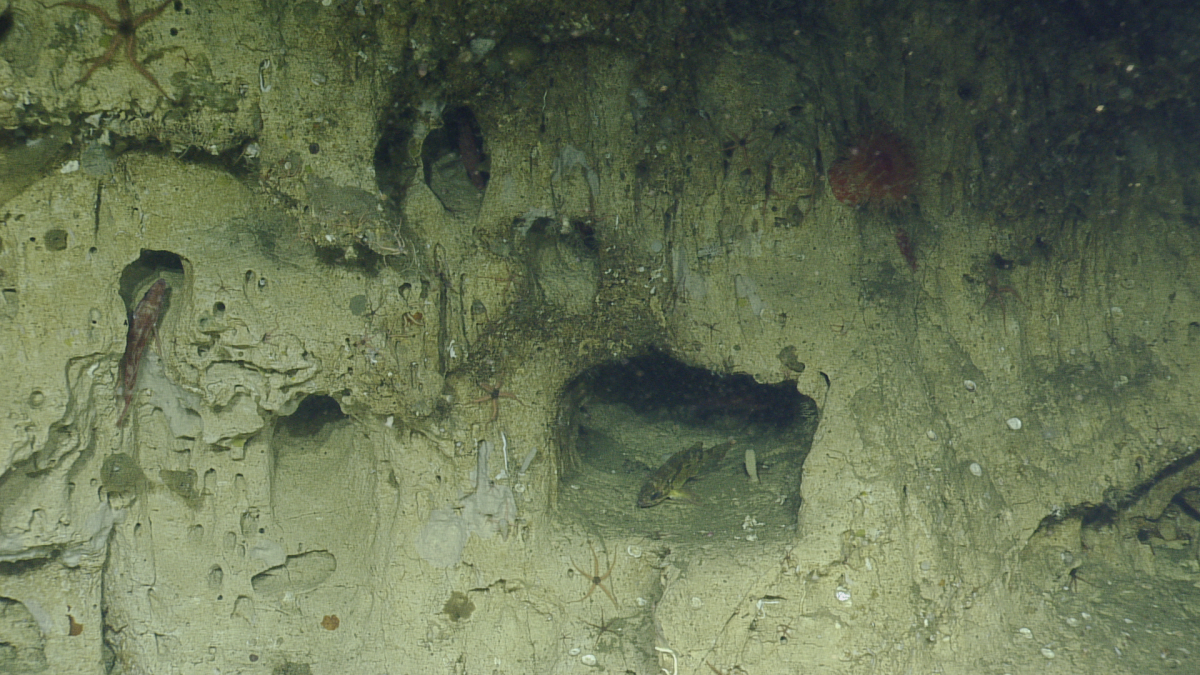
The Channel Islands National Marine Sanctuary (CINMS) is one of the agencies tasked with the protection of deep-water habitats, commercially important species, and deep sea coral ecosystems around the islands, yet lacks a detailed understanding of the distribution, abundance, and condition of the resources within the Sanctuary.