Exploring the Uncharted: Mapping Jarvis Island's Hidden Depths
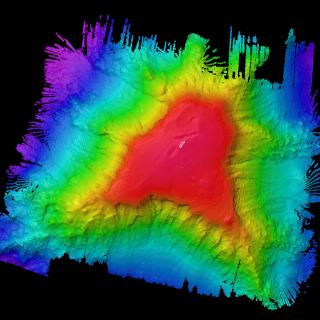
For our final mission of 2023, our Corps of Exploration aboard E/V Nautilus set out to map the seafloor near Jarvis Island inside a vast network of protected areas called the Pacific Remote Islands Marine National Monument (PRIMNM). To date, Nautilus has mapped over 180,000 square kilometers in PRIMNM waters, and this expedition will significantly contribute to our knowledge of the Jarvis area, unlocking the mysteries of this remote region.
Recent US national actions have proposed designating this area as a national marine sanctuary to help care for the submerged natural and cultural resources surrounding Jarvis Island and other Pacific Remote Islands. Collecting seafloor bathymetry and backscatter supports the development of benthic habitat classification maps and habitat suitability models, and these help us better understand the distribution of different seafloor environments.
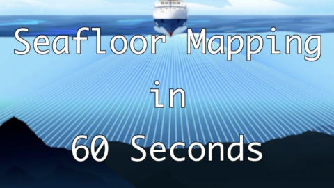
Jarvis Island Mapping
Traveling to the southern hemisphere, this expedition takes the team to Jarvis Island, one of the most poorly mapped areas under US jurisdiction, where our high-resolution bathymetric seafloor mapping will add to the world’s baseline knowledge of this poorly studied part of the Pacific Remote Islands Marine National Monument (PRIMNM).