E/V Nautilus will transition to conducting operations within the central Pacific for the next several years, starting with a 10-day mapping expedition funded by NOAA Ocean Exploration through the Ocean Exploration Cooperative Institute. The mapping on this expedition will contribute directly to filling mapping gaps in the U.S. Exclusive Economic Zone (EEZ) southeast of Hawai’i, and also filling gaps in international waters during the mapping transit. As we move west from North America, we acknowledge the indigenous and local communities of the Pacific Rim and Oceania — including Native Hawaiians, Polynesians, Melanesians, Micronesians, Papuans, and other Pasifika peoples — that have stewarded through generations the ocean, seas, coastlines, and lands of what is now the Pacific Ocean.
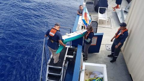
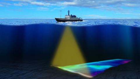
Mapping of the seafloor by echosounder commenced nearly a century ago, however, more than 80% of the world’s seafloor is still not mapped, even at a resolution of 1 kilometer — and the eastern Pacific Ocean is no exception. The transit route has been planned away from the direct passage, and will utilize the multibeam echosounder and sub-bottom profiler to fill in gaps in seabed mapping coverage across the Pacific, plus targeted mapping of bathymetry coverage gaps in the U.S. EEZ to fulfill requirements of the Seabed 2030 project. Ocean Exploration Trust is an official partner of Seabed 2030, an international collaboration which aims to have 100% of the seafloor mapped by 2030.
This expedition is sponsored by NOAA Ocean Exploration through the Ocean Exploration Cooperative Institute.