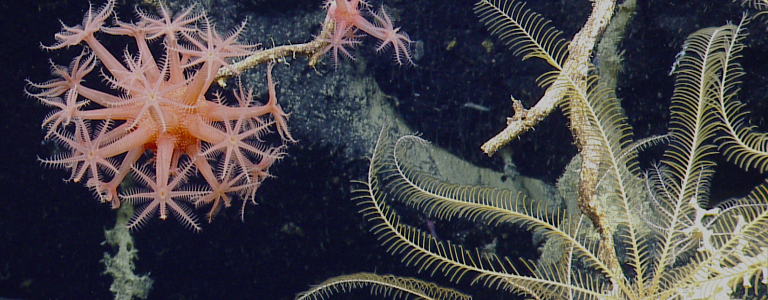
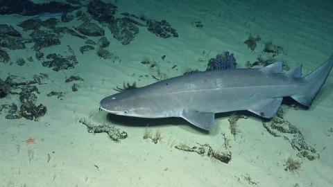
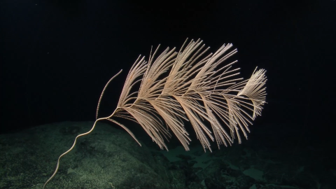
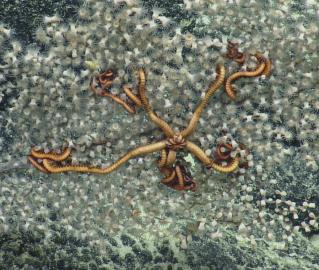
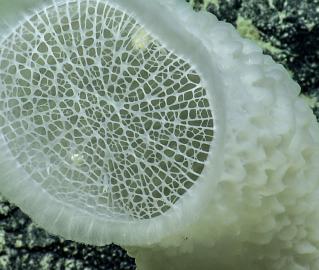
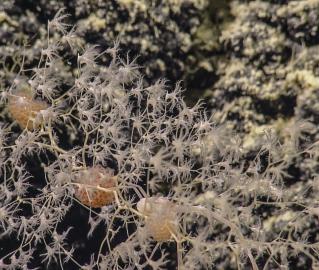
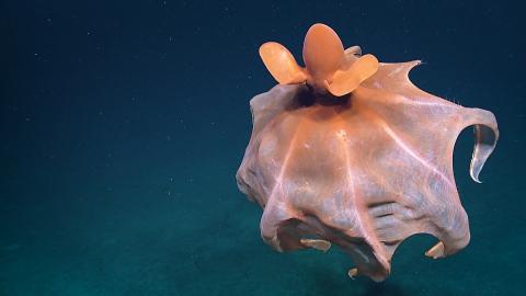
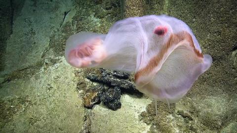
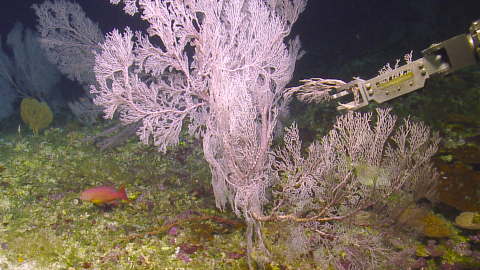
The main objective of this expedition is to collect deepwater baseline information to support science and management decisions in and around U.S. marine protected areas in the central Pacific. We will conduct seafloor mapping and acquire video, biological, chemical, and geological samples in deep-sea portions of the Pacific Remote Islands Marine National Monument in order to better understand marine habitats, biogeographic patterns, seafloor mineral distribution, and the geologic history of these areas.
The Pacific Remote Islands National Marine Monument (PRIMNM) is one of the largest marine conservation areas in the world, encompassing seven national wildlife refuges on coral islands, reefs, and atolls. The five regions of PRIMNM cover 490,343 square miles and span the Central Pacific Ocean from Wake Atoll in the northwest to Jarvis Island in the southeast.
This Nautilus expedition will build upon previous expeditions to this region and continue to gather information about the topography, geology, and biology of this important United States territory and the surrounding areas. Mapping operations will focus on adding coverage to existing mapping data, conducting surveys to support ROV dive site planning, and mapping uncharted areas during transits. Geological collections will help define substrate type and refine age estimates for the features explored in this geologically complex region. Biological specimens will help define biogeographic boundaries, depth distribution and diversity of species, and observe the basic biology and ecology of these ecosystems, compared to other regions. In addition, the video collected will be used for diversity estimates, frequency, and fidelity of coral-associated communities, knowledge critical to evaluating the impact of the Marine Protected Areas on deep-sea ecosystems over time.
Sponsored by: NOAA Office of Exploration and Research
