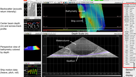
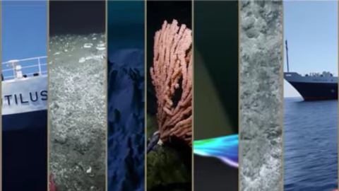
For the final leg of the 2016 expedition, Nautilus will work along the California Borderland region offshore San Diego to San Francisco. In this complex margin within America’s Exclusive Economic Zone, few areas of the seafloor have been extensively mapped. E/V Nautilus will utilize its hull-mounted multibeam echosounder to survey these zones and create maps to show the acoustically-derived bathymetry of the seafloor.
Although only about 10% of our world’s oceans have been acoustically mapped at, satellites equipped with altimetry sensors have been used to derive the bathymetry of the entire seafloor. The altimeters sense gravity anomalies of the sea surface that can be linked to topography (e.g. dip in the surface of the ocean over a trench). There is a tradeoff between bathymetry derived from altimetry versus shipboard acoustic sensors: multibeam systems map the seafloor at a high resolution and are accurate, but ships move slowly only having mapped about 1/10th of the seafloor. While there is global coverage from satellite altimetry-derived maps, the resolution of these maps is low, and the correlation between depth and a gravity anomaly is non-linear (meaning there is more room for error deriving bathymetry from satellite measurements).
